Lost Airplane Ridge
Total Kilometers
40.6
Technical Rating
Best Time
Summer, Fall
Trail Type
High-Clearance 4x4 Trail
Accessible By
Trail Overview
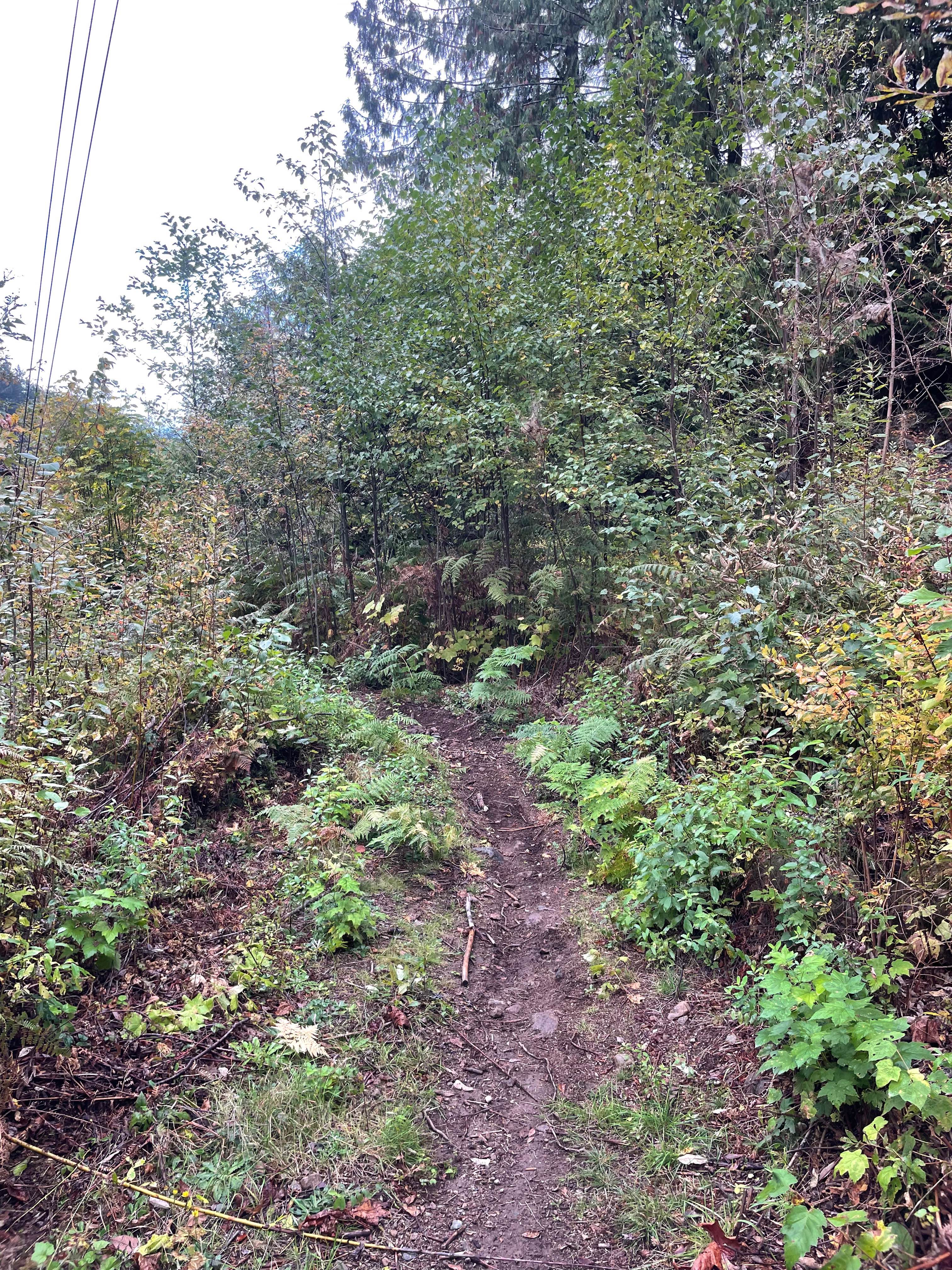
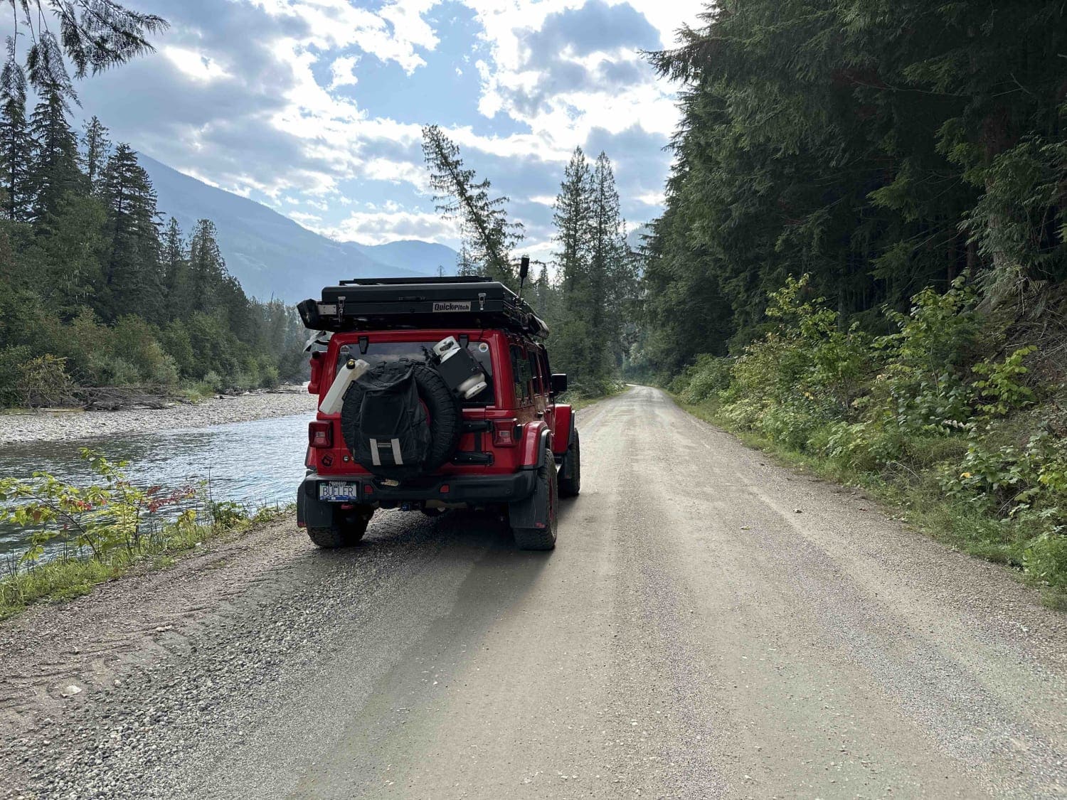
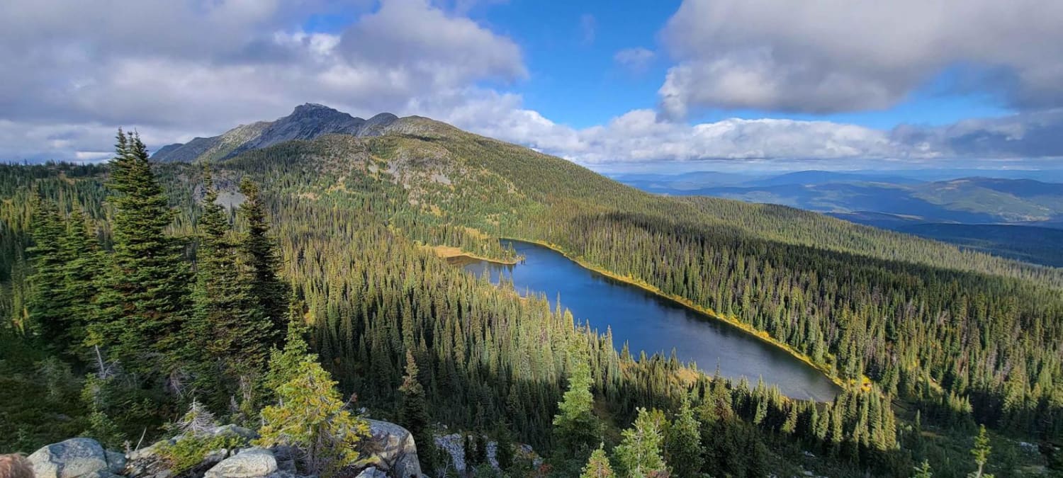
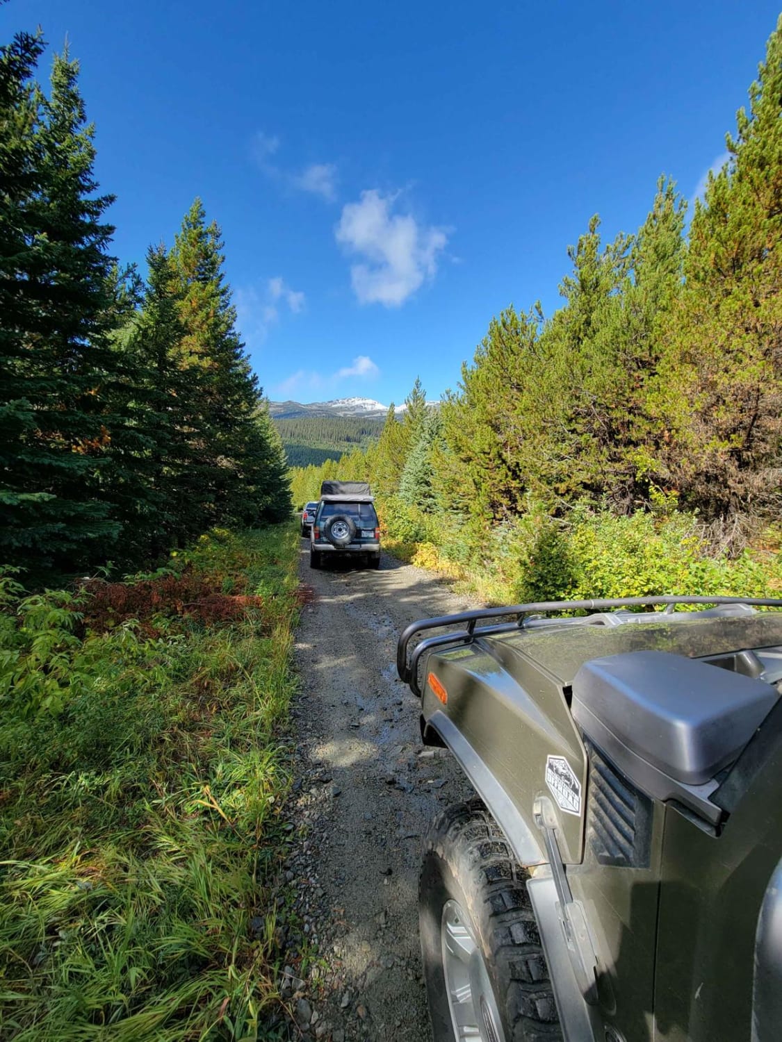
Lost Airplane Ridge is a great adventure to Cabin Lake, a high alpine bowl lake with stunning views. This is a 4wd high clearance trail with rough sections and steep water bars. The trail begins in a desert-like climate as you continue to climb up the trail to beautiful alpine meadows and then a high alpine bowl lake. Cabin lake is a designated rec site with 3 campsites. If you are up to a hiking adventure, Stoyoma Plane Crash site is a 4 hr round-trip hike with geocaching sites along the way. From the Cabin Lake campsite, there is no need for the hard scramble over the mountain. Follow the trail from the far end of the lake to the crash site.
Photos of Lost Airplane Ridge
Difficulty
4WD high clearance is highly recommended, rough sections of trail and steep water bars
History
Known local First Nations' cultural sites are occasionally used for small First Nations gatherings.
Status Reports
Lost Airplane Ridge can be accessed by the following ride types:
- High-Clearance 4x4
- SxS (60")
- ATV (50")
- Dirt Bike
Lost Airplane Ridge Map
Popular Trails

Trials Zone Access

South of Trout Lake to Meadow Mountain Trail

Rendell New

Simpson 200
The onX Offroad Difference
onX Offroad combines trail photos, descriptions, difficulty ratings, width restrictions, seasonality, and more in a user-friendly interface. Available on all devices, with offline access and full compatibility with CarPlay and Android Auto. Discover what you’re missing today!

