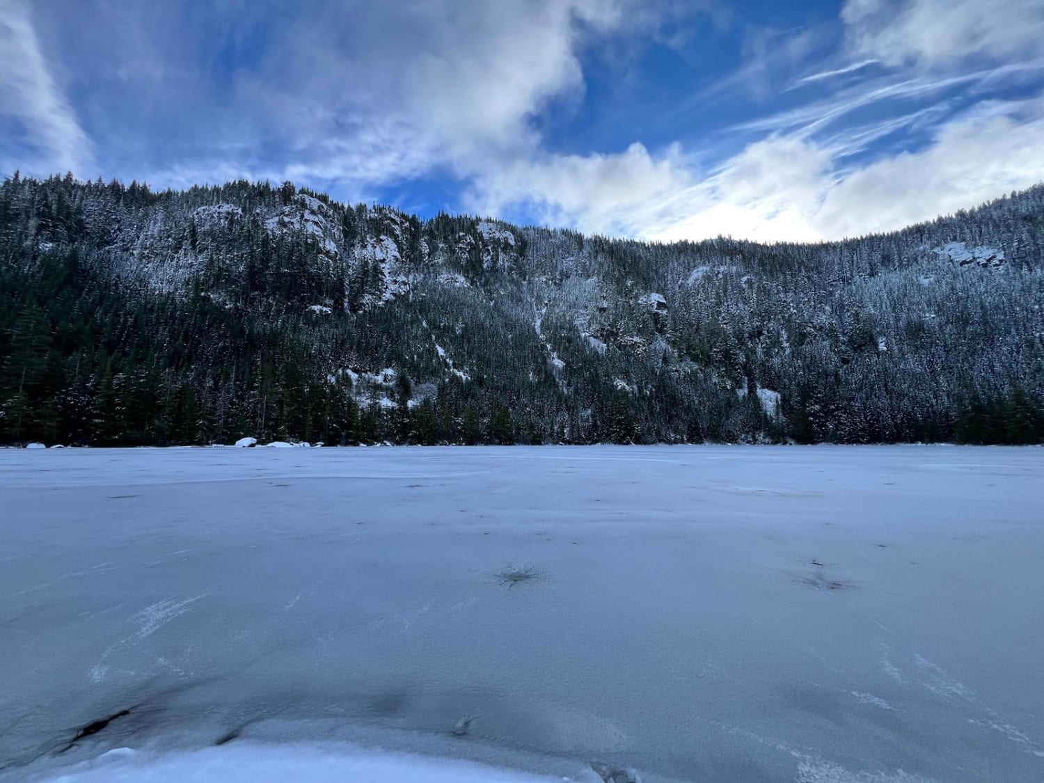
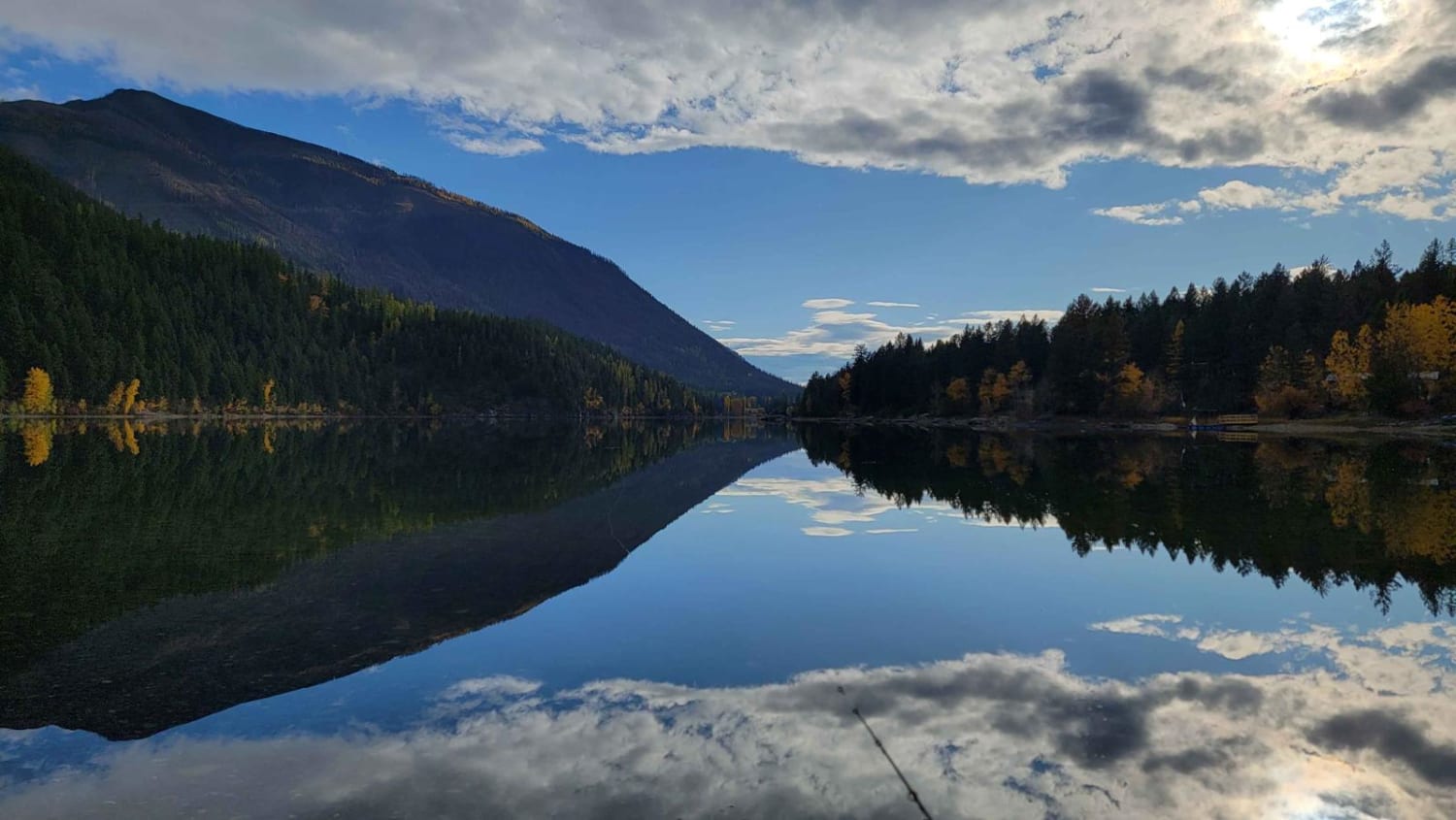
Marshall Lake
Total Kilometers
7.5
Technical Rating
Best Time
Spring, Summer, Fall, Winter
Trail Type
Full-Width Road
Accessible By
Trail Overview
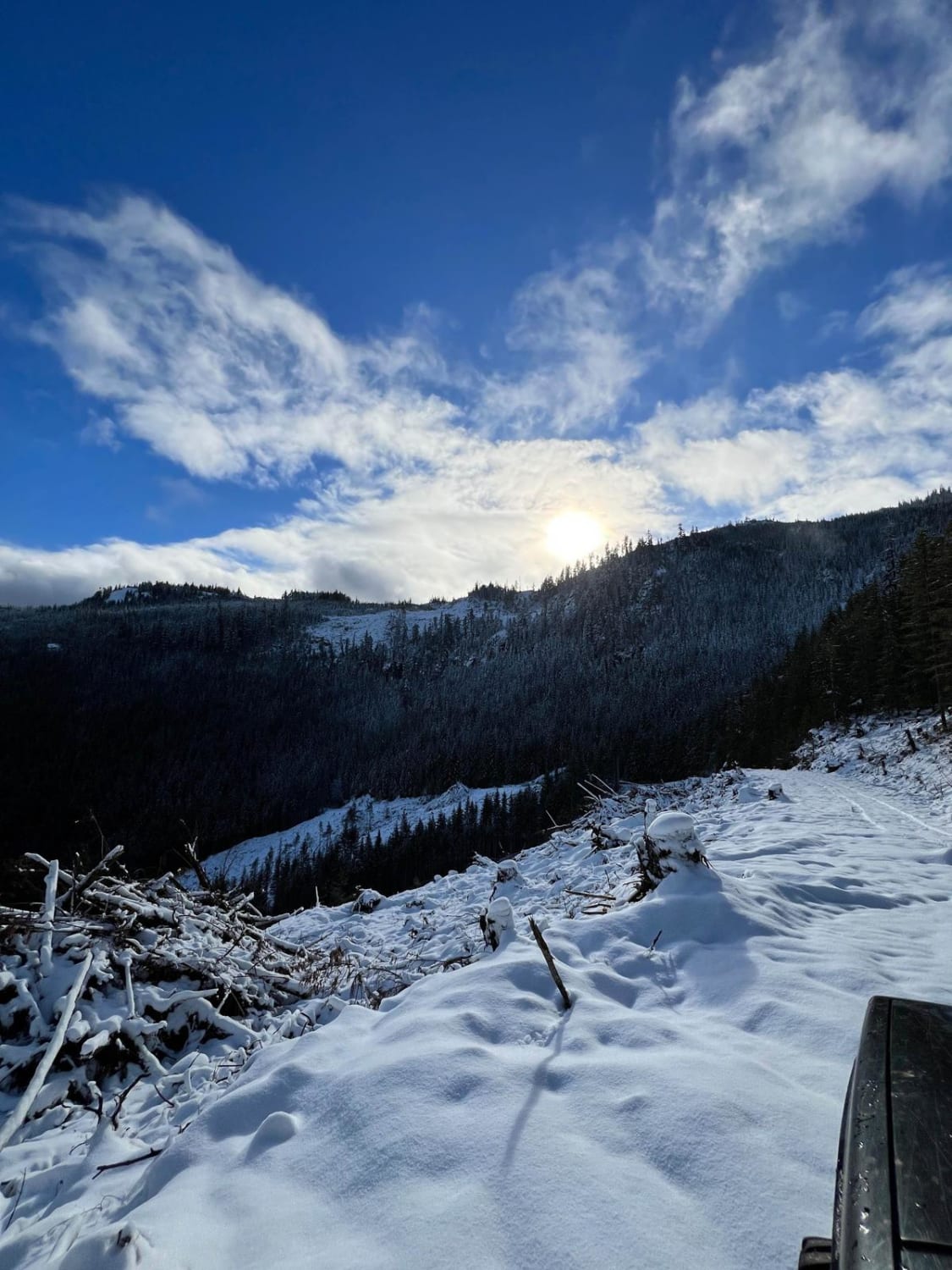
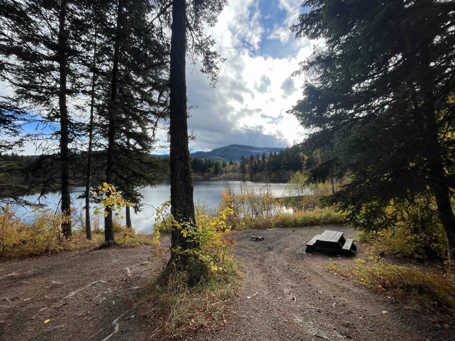
This route starts out quite steep but it levels out quickly once you get to the top of the first hill. The whole way to the lake is smooth, but trees are being cut along the way so that can change quickly at any moment. There is one open campsite at the lake as well as a boat launch for any inflatable or smaller rooftop aluminum boats. There is also an older wide-open helicopter landing area that is no longer in use that can also be used as a campsite if needed.
Photos of Marshall Lake
Difficulty
This is a dirt road in good condition with no challenging obstacles.
Status Reports

Popular Trails

BlackJack Ridge Lookout

Monashee FSR/Yeoward Creek Road
Pinaus Lake North Rec Site to Square Lake Rec Site
The onX Offroad Difference
onX Offroad combines trail photos, descriptions, difficulty ratings, width restrictions, seasonality, and more in a user-friendly interface. Available on all devices, with offline access and full compatibility with CarPlay and Android Auto. Discover what you’re missing today!