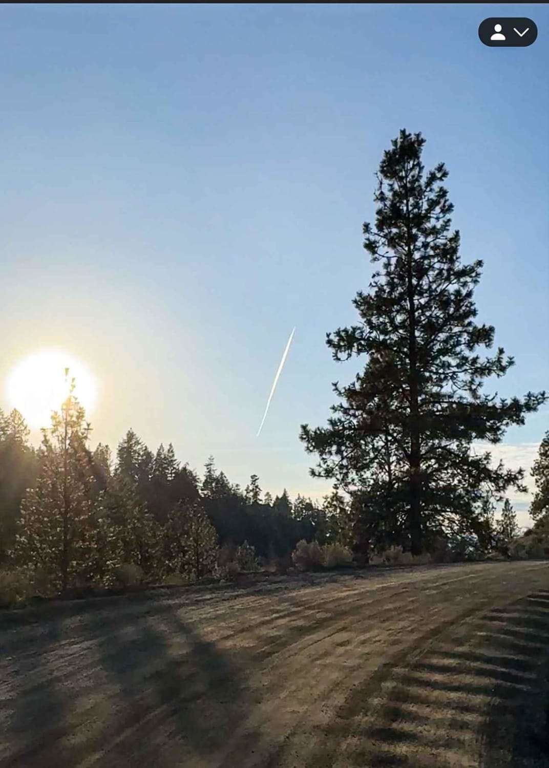
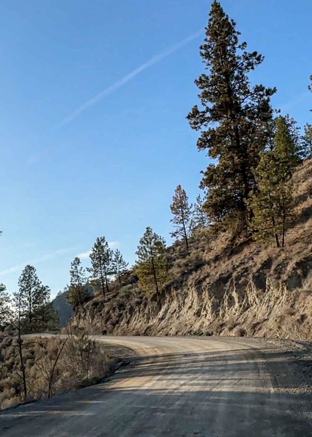
Meandering McCulloch Road
Total Kilometers
20.7
Elevation
392.51 m
Duration
1 Hours
Technical Rating
Best Time
Spring, Summer, Fall, Winter
Trail Overview
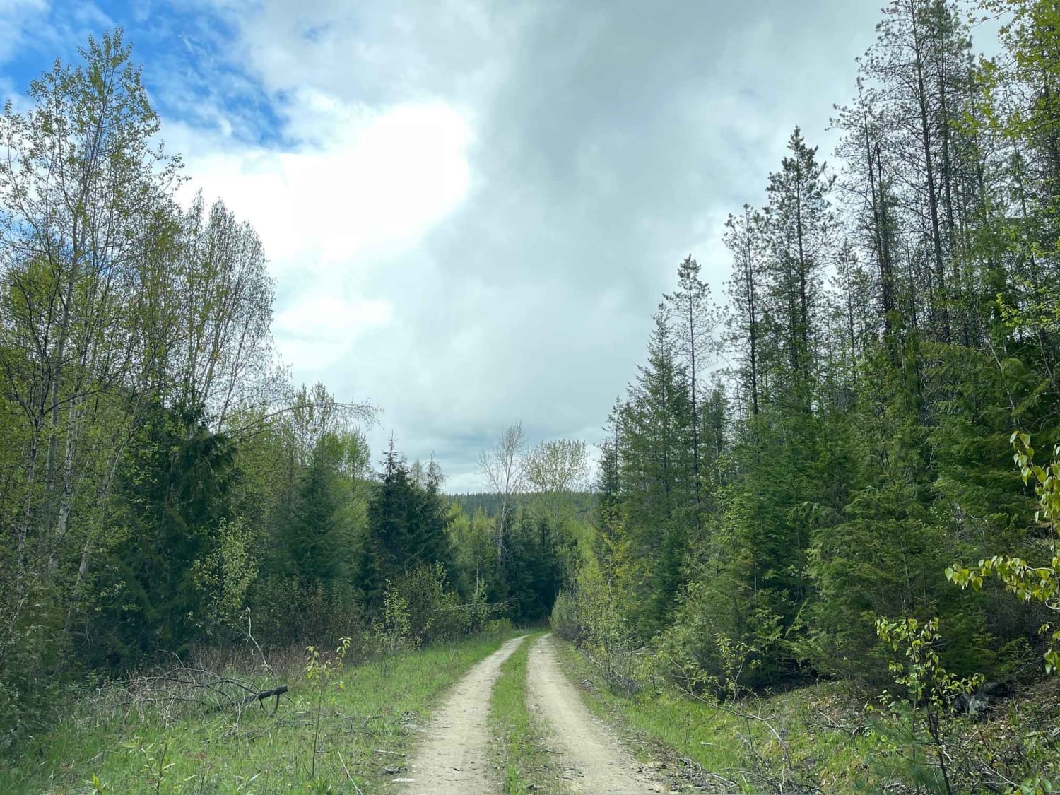
This easy trail starts in Kelowna, where the pavement transitions to gravel and connects to Highway 33 at the end of the trail. McCulloch Road is a well-maintained gravel road that winds its way through lush forests (pine, cedar, fir, aspen, birch, etc.) and areas of grasslands, offering breathtaking views of the surrounding mountains and valleys. There are sections of loose gravel and some washboard along the way, although not enough to warrant airing down. Starting at an elevation of around 600 meterrs, the road climbs out of Kelowna, winding and offering different views of the city of Kelowna as well as the surrounding area. Layer Cake Mountain can be seen on your left at about 0.8 kilometers into the trail. There are signs along the way to let you know when you are on Westbank First Nation Land. No trespassing is allowed off of the road. At around kilometer 11, you will pass the turnoff for the Browne Lake Recreation Site. At around kilometer 19, you will start to see glimpses of McCulloch Lake (also called Hydraulic Lake) on your right. Don't miss the Kelowna Nordic Ski and Snowshoe Club on your left, right before the turnoff for McCulloch Lake on your right, where a short road leads you to the recreation site on the lake. You may want to avoid the last section that goes to the lake in the wintertime if you have a low-clearance vehicle, as that section isn't plowed. If you were to continue along McCulloch Road, you will soon reach Highway 33 which marks the end of the road. You will have very minimal cell service, so a satellite device is a bonus for safety!
Photos of Meandering McCulloch Road
Difficulty
No airing down is necessary on this trail, as there are only small sections of washboard, almost no potholes, and no steep grades. The road is two vehicles wide throughout until you arrive at the turnoff for McCulloch Lake, where there is a small section of road that is one vehicle wide in wintertime. The road can be slippery in sections in the winter but is well maintained.
Status Reports
Popular Trails
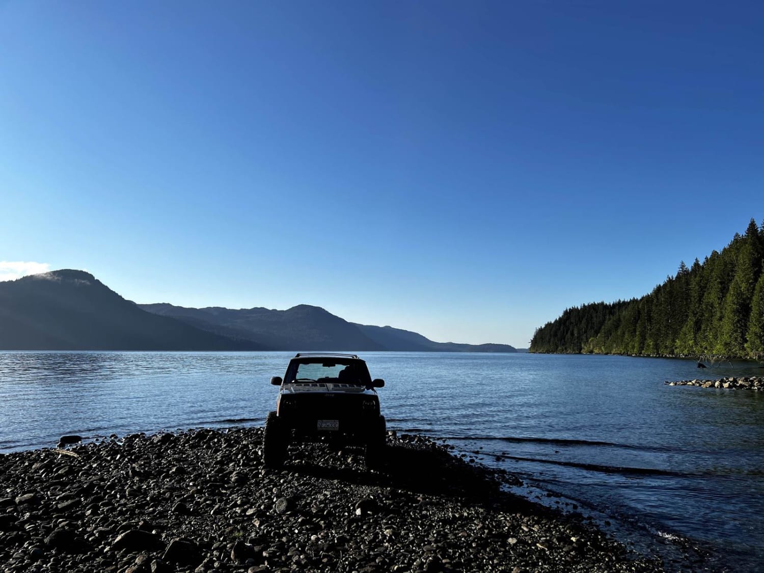
McMullen Point Beach
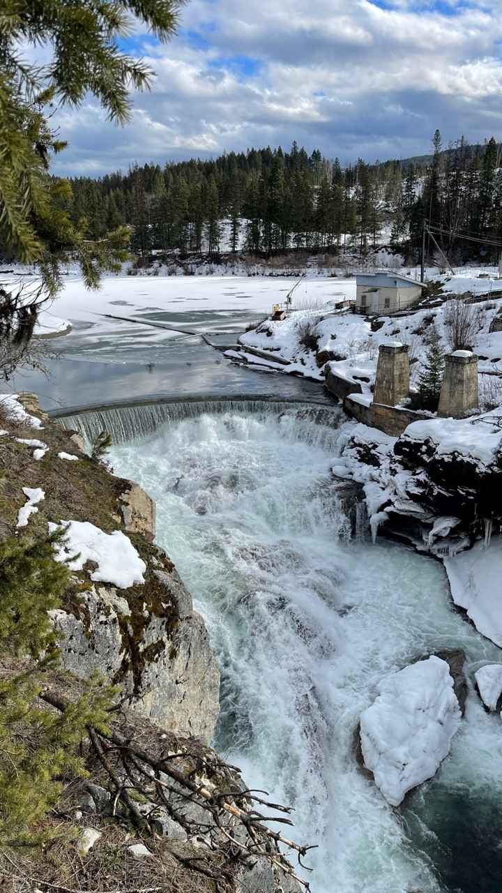
Shuswap River

97C to Creighton Lake
Sunshyne Road
The onX Offroad Difference
onX Offroad combines trail photos, descriptions, difficulty ratings, width restrictions, seasonality, and more in a user-friendly interface. Available on all devices, with offline access and full compatibility with CarPlay and Android Auto. Discover what you’re missing today!
