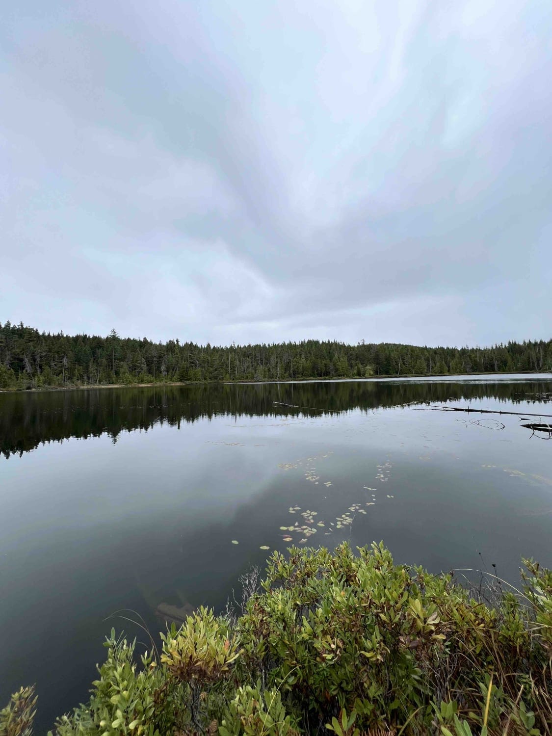
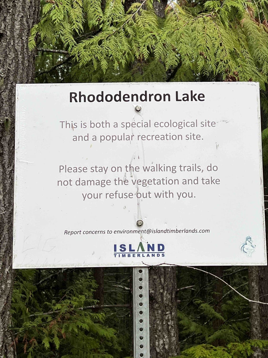
Rhododendron Lake Ecological Site
Total Kilometers
10.8
Technical Rating
Best Time
Summer, Spring, Fall
Trail Type
Full-Width Road
Accessible By
Trail Overview
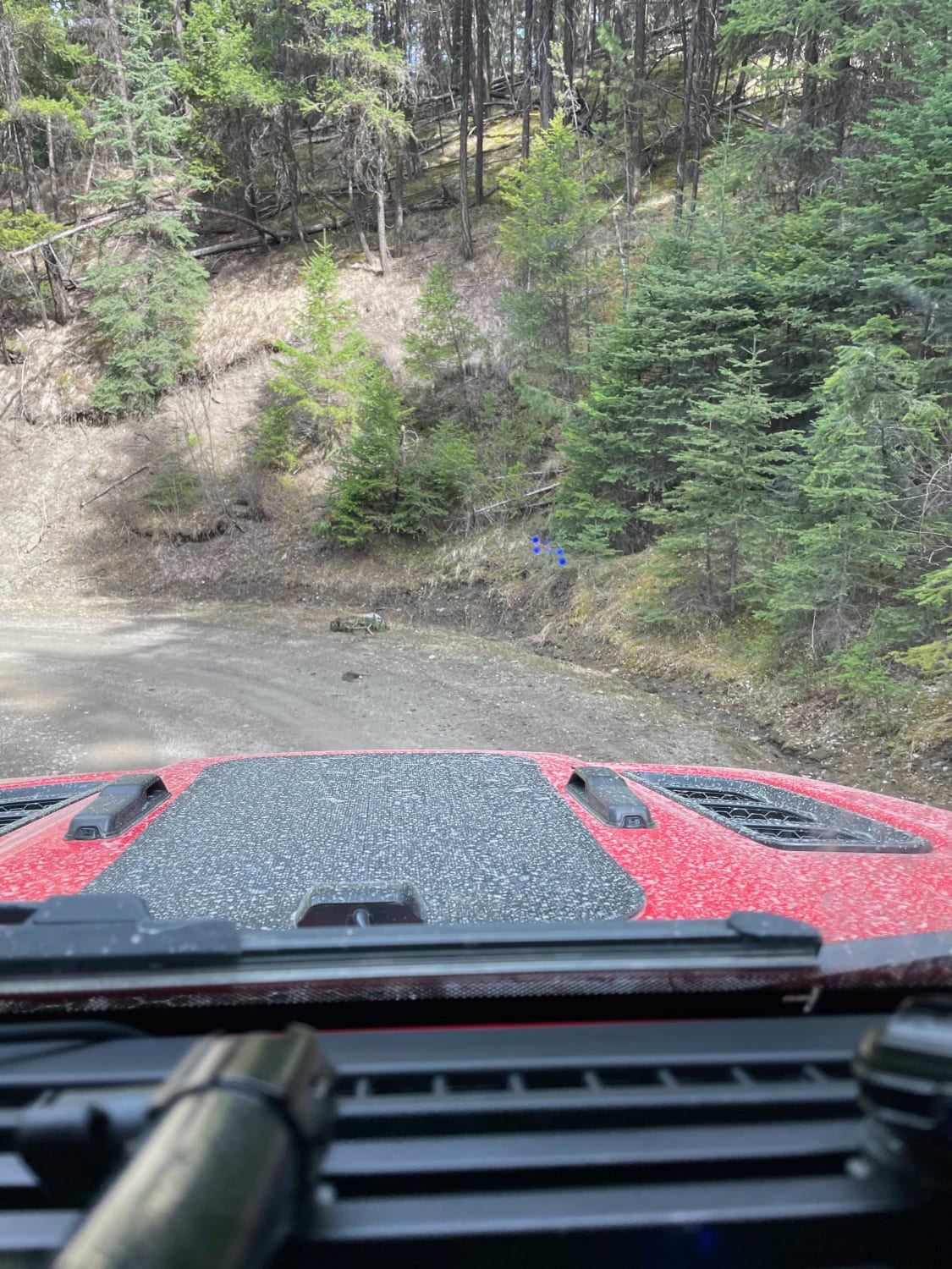
This route follows an active logging road, so use caution and give way to all bigger traffic. The road has a lot of potholes but is normally in good shape. Along this track you will be going through many clear cuts from the logging, so be sure to watch for deer, bear, elk, and grouse. Once you reach the lake, there is a wonderful but very overgrown trail. You can walk to the shore of the lake where you can fish for rainbow trout and enjoy the rhododendrons!
Photos of Rhododendron Lake Ecological Site
Difficulty
This logging road is well-cared for overall, but has some potholes.
History
First reported by Archibald Menzies in 1792. The main feature of the area is a small grove of Pacific Rhododendron (Rhododendron macrophyllum), a rare plant in British Columbia. The rhododendrons are located adjacent to the far shore of the lake. The peak flowering season is in early June. This small grove of about 2 hectares (5 acres) is one of only two localities on Vancouver Island.
Status Reports
Popular Trails
Tight Short Cut
Jack Swartz FSR to Little Box Canyon Rec Site
Whiskey Creek FSR
The onX Offroad Difference
onX Offroad combines trail photos, descriptions, difficulty ratings, width restrictions, seasonality, and more in a user-friendly interface. Available on all devices, with offline access and full compatibility with CarPlay and Android Auto. Discover what you’re missing today!
