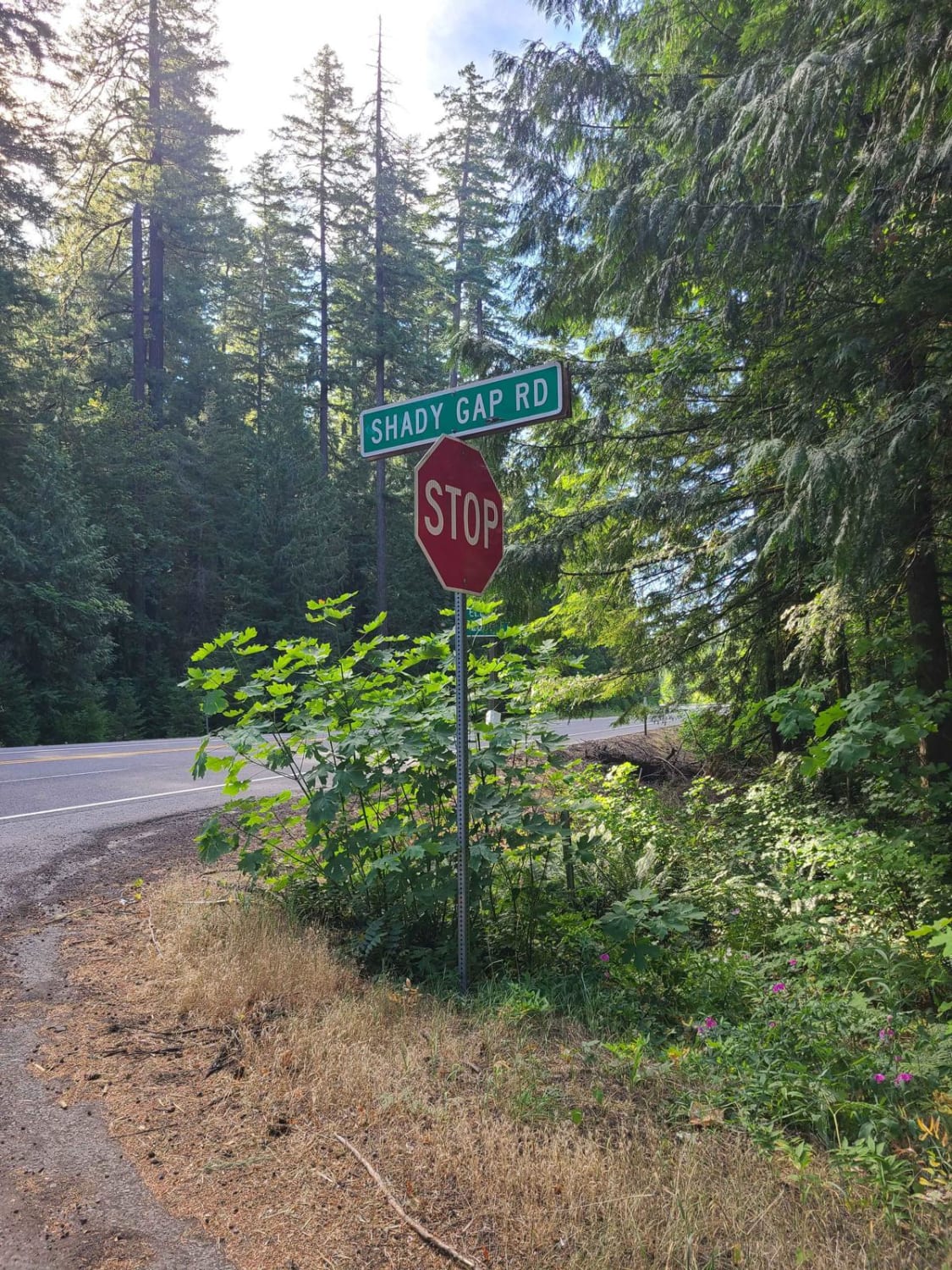
Shady Gap #5875
Total Miles
8.9
Elevation
1,071.29 ft
Duration
0.3 Hours
Technical Rating
Best Time
Summer, Spring, Fall
Trail Overview
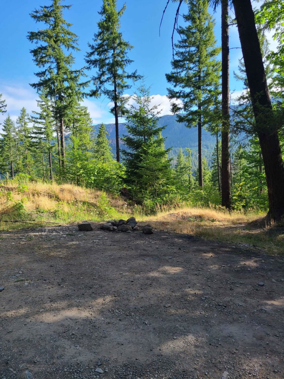
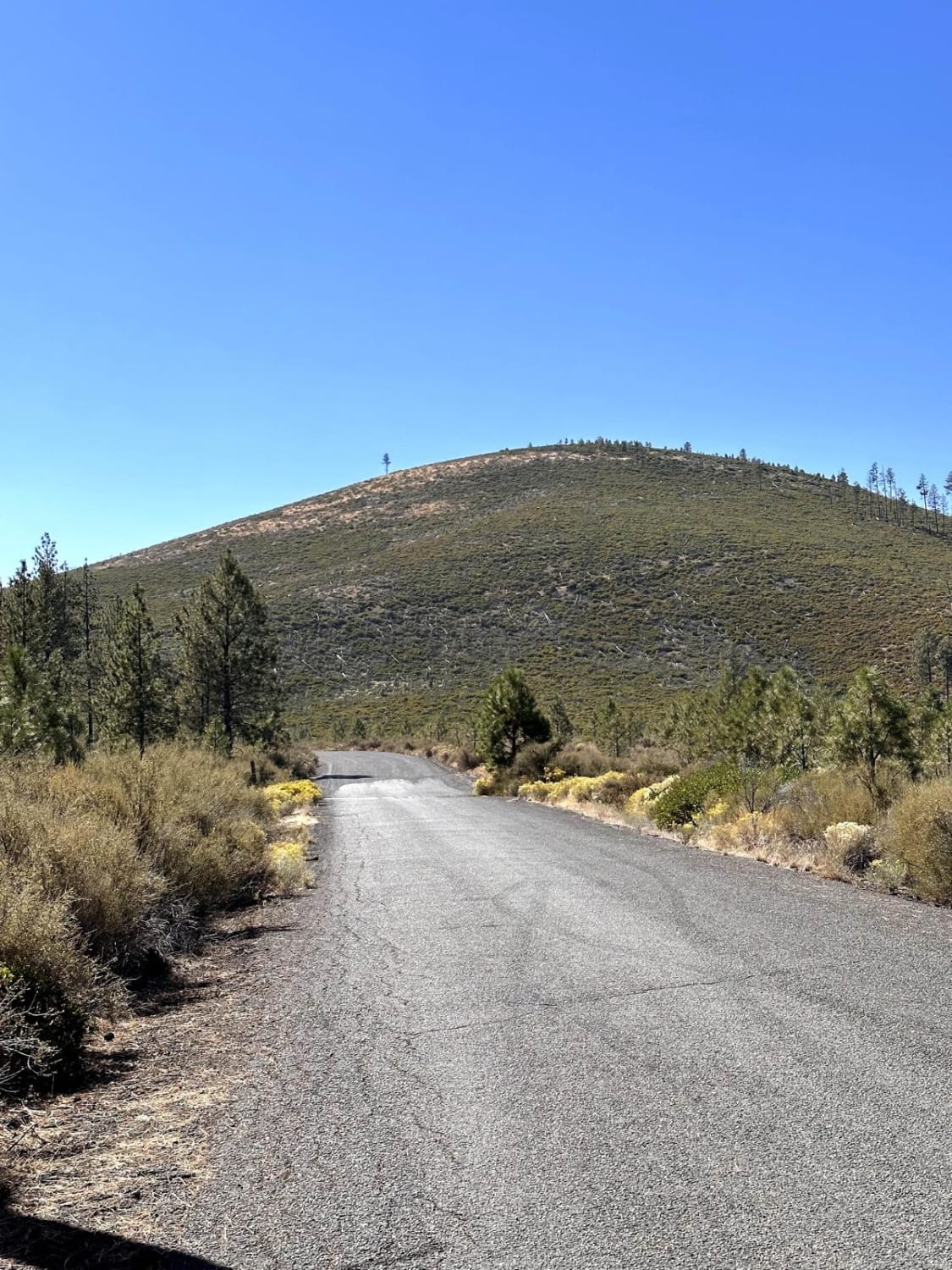
The entrance of this trail starts out as pavement. In this area there are a couple of large camp spots; they are typically always crowded as this road is a very short distance from the town of Oakridge. The small water source at the beginning adds beauty with flowers and even some cat tails to take pictures of. Shortly after the narrow bridge, the road turns to dirt. You will find a couple more solitary camp spots along the way, but watch out for large potholes. There is little to no cell phone service in this area. If you need reception, the Dairy Queen near Chevron offers WiFi. Stop for breakfast or a full menu all day. This road runs through a section of the Shady Beach Fire Recovery Project which was a fire that burned 9,000 acres in 1988. Since then they have been regrowing the forest into the beauty you see today. Please stay on the trail, and remember to always pack it in and pack it out, tread lightly, and keep our trails open!
Photos of Shady Gap #5875
Difficulty
There is minimal difficulty on this road. The road is typically unmaintained during winter and can be subject to closures. Downed trees after a large storm are possible, as well as rocks or debris in the road.
Status Reports
Popular Trails
Willow Creek Crossing

Painted Cove Nature Trail Access
Coffeepot Crater Road
The onX Offroad Difference
onX Offroad combines trail photos, descriptions, difficulty ratings, width restrictions, seasonality, and more in a user-friendly interface. Available on all devices, with offline access and full compatibility with CarPlay and Android Auto. Discover what you’re missing today!