Snyder Mountain Trail
Total Miles
13.4
Elevation
1,460.43 ft
Duration
3 Hours
Technical Rating
Best Time
Spring, Summer, Fall
Trail Overview
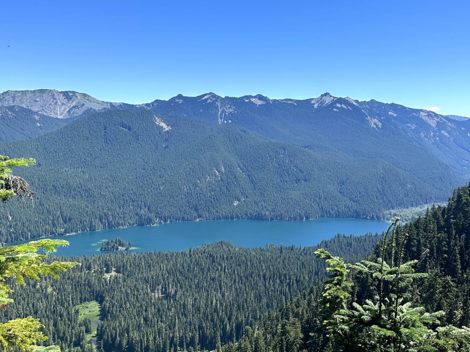
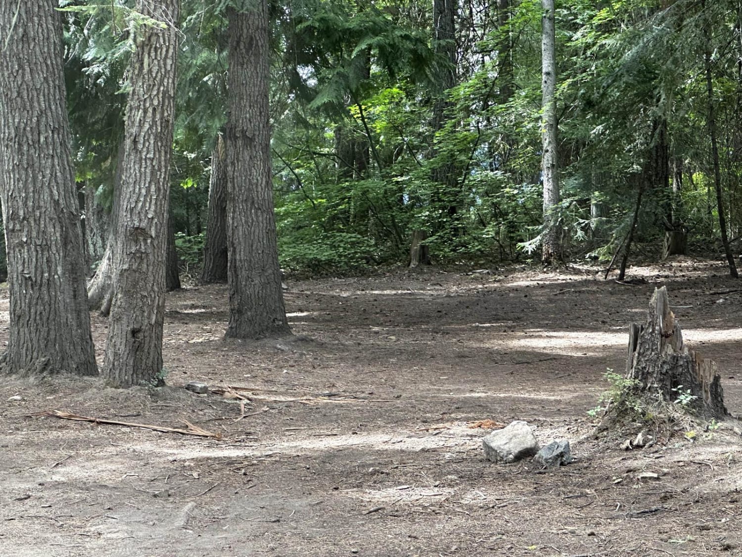
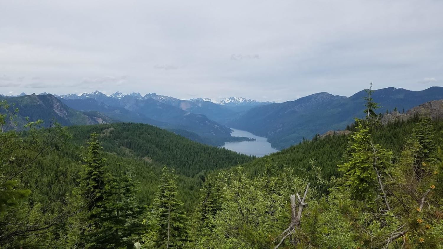
This 42-mile out-and-back trail follows Hager Creek up to the top of Snyder Mountain for a spectacular view of Packwood Lake. The first half of this trail is mostly two vehicles wide. Once you pass Hager Lake, the trail narrows down to single vehicle and you start to get some overgrowth which increases as you pass the trailhead. The trail ends at a turnaround large enough for 3-4 vehicles. There is a short trail that takes you to the overlook of Packwood Lake. There are several dispersed camping areas along this trail. It is passable by AWD and 4WD vehicles.
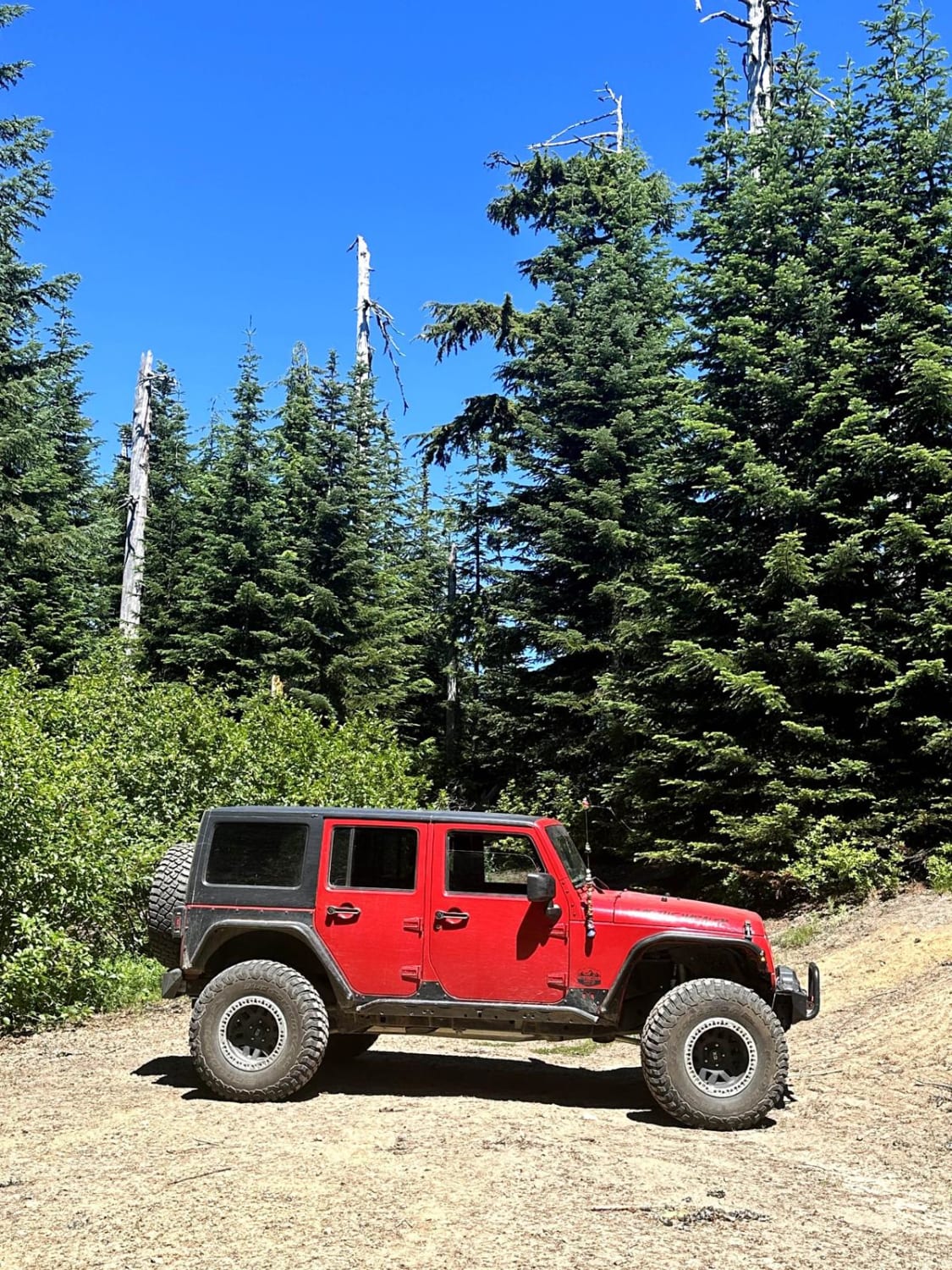
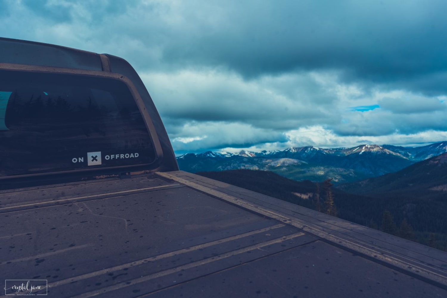
Photos of Snyder Mountain Trail
Difficulty
This is a single-vehicle trail with mud holes less than 12 inches in depth.
Popular Trails
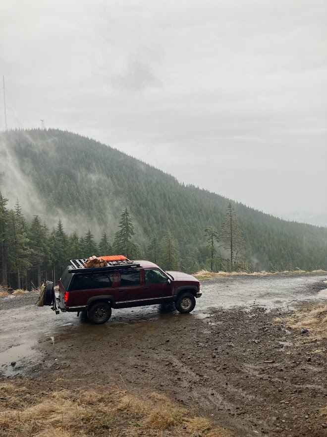
Buck Ridge B Line Connector
Deer Camp Trail
Amabilis Mtn Summit
The onX Offroad Difference
onX Offroad combines trail photos, descriptions, difficulty ratings, width restrictions, seasonality, and more in a user-friendly interface. Available on all devices, with offline access and full compatibility with CarPlay and Android Auto. Discover what you’re missing today!
