Davy Crockett National Forest Route
Total Miles
42.2
Elevation
121.66 ft
Duration
--
Technical Rating
Best Time
Winter, Summer, Fall, Spring
Trail Overview
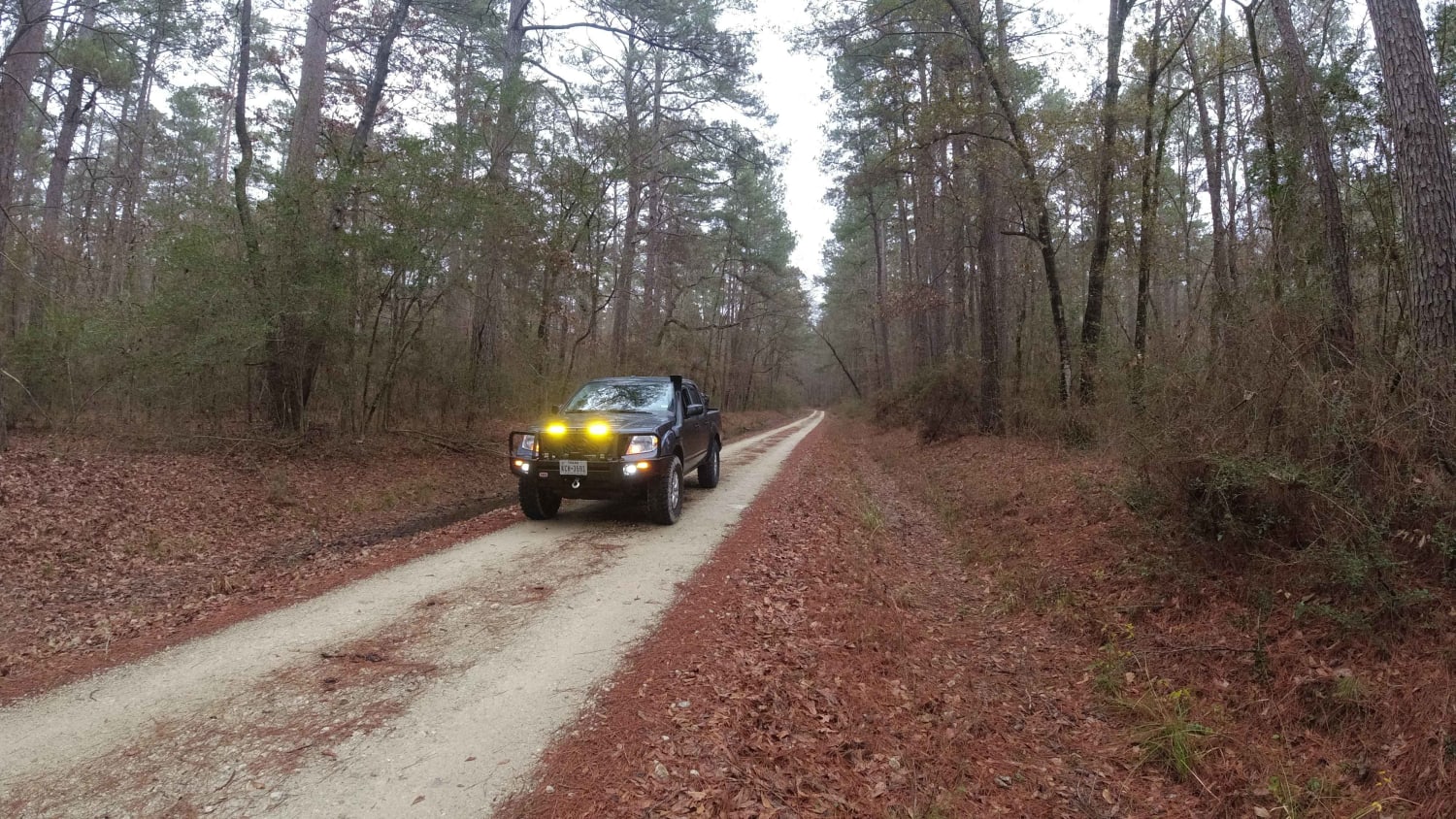
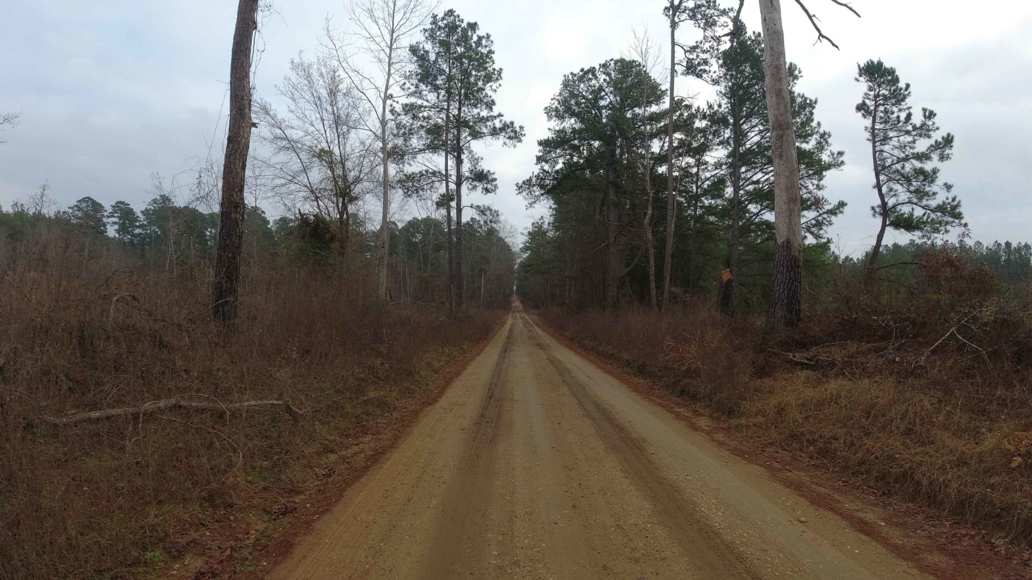
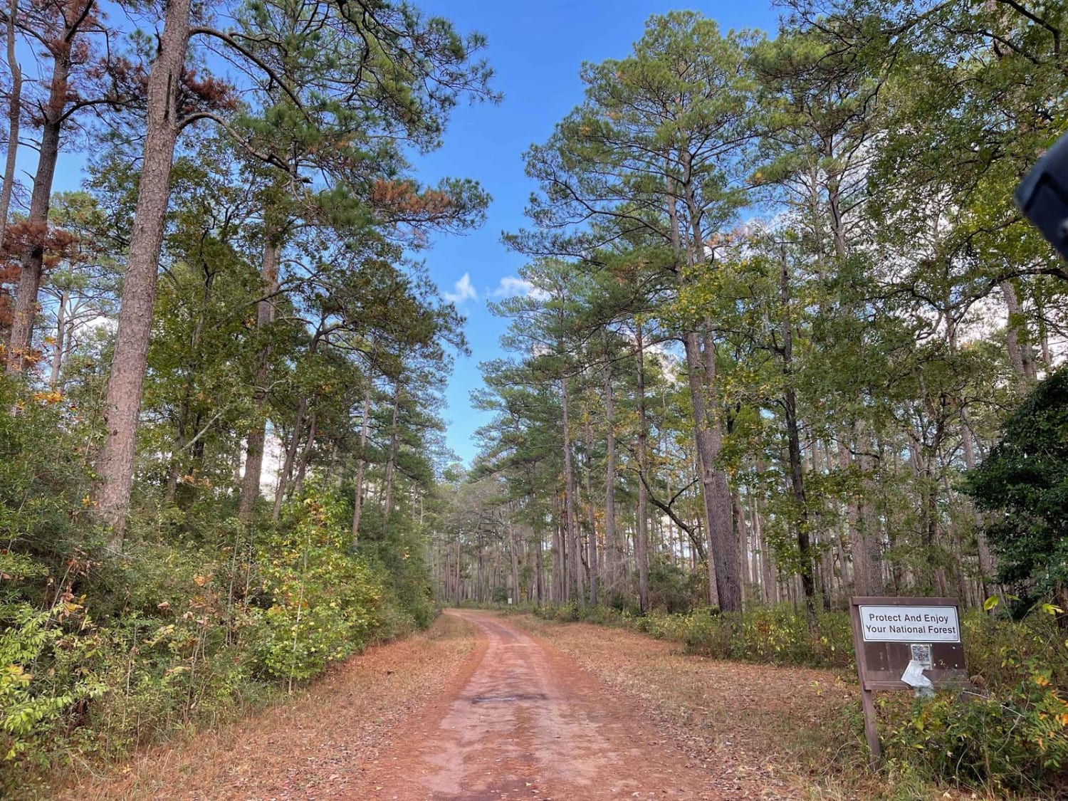
This route is 42 miles of gravel roads that are linked together and span the entire length of the Davy Crockett National Forest from North to South. The road's terrain varies greatly from soft gravel, ruts, and washboard surf. There's a section with a deep washout on the side of the road, and the occasional fallen tree or tree limbs may cross the road. During times of rain, the road can become very muddy.
Photos of Davy Crockett National Forest Route
Difficulty
Take your time the roads can be very rough and if it rains very muddy.
Status Reports
Popular Trails
Binder Boulevard
Glenn Springs Road
The onX Offroad Difference
onX Offroad combines trail photos, descriptions, difficulty ratings, width restrictions, seasonality, and more in a user-friendly interface. Available on all devices, with offline access and full compatibility with CarPlay and Android Auto. Discover what you’re missing today!
