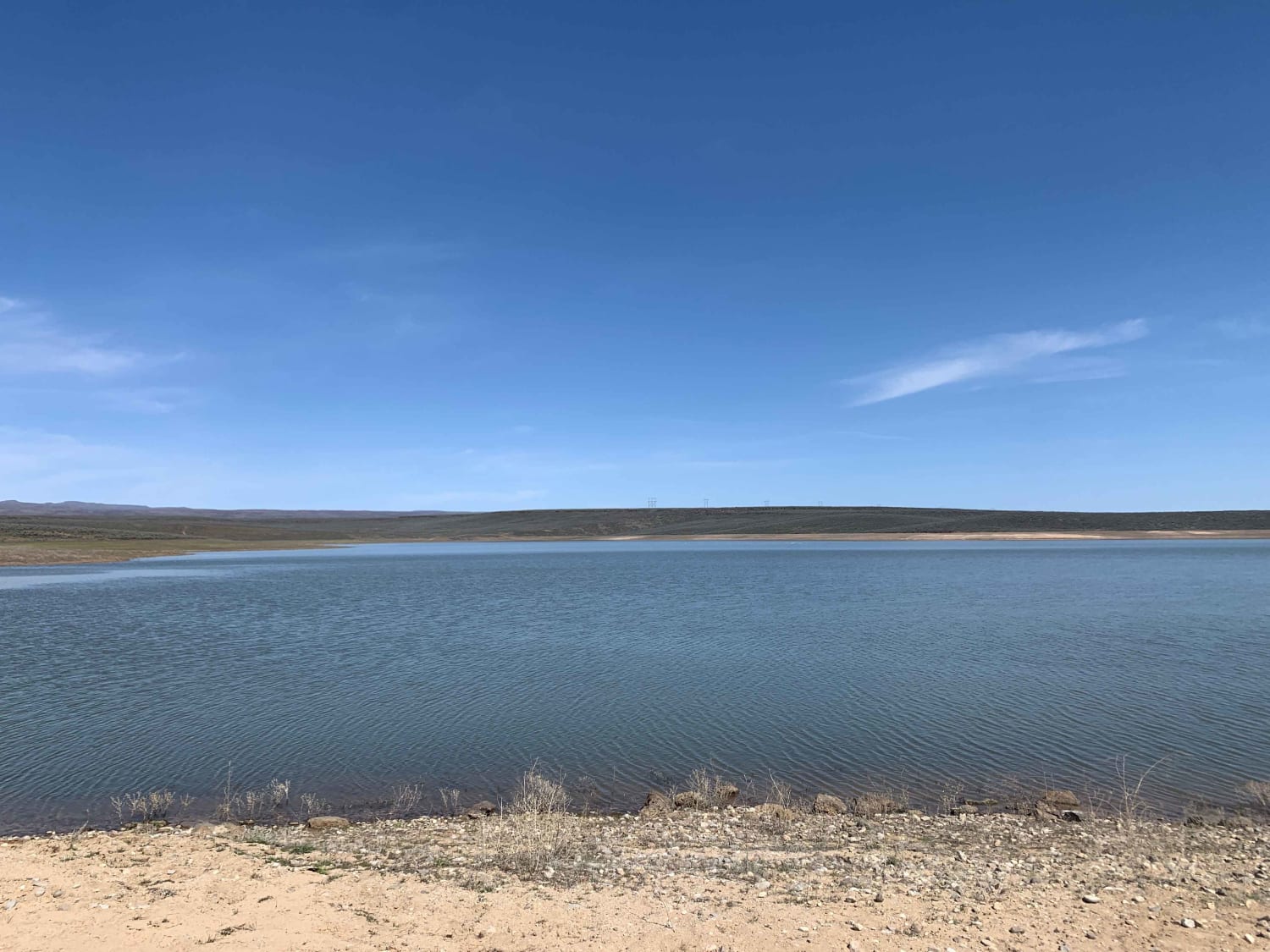
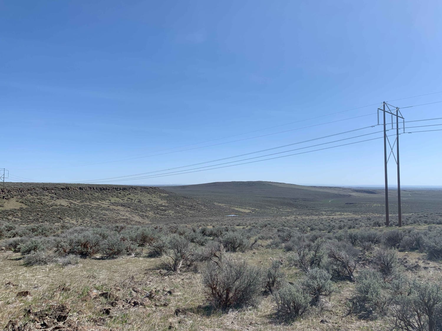
Bliss High Country Scenic Track
Total Miles
17.4
Elevation
1,340.08 ft
Duration
--
Technical Rating
Best Time
Spring, Fall
Trail Overview
Explore the high desert north of Bliss! From the unmaintained dirt roads to Bray Lake to all the canyons, draws, and gullies, there is no shortage of terrain changes and obstacles. Expect dirt roads, deep ruts, lots of loose rock, washouts, moderate depth creek crossings, dust, and spots of mud. Other areas to explore nearby are the Davis Mountain loop, Mormon Reservoir to the northeast, and Little City of Rocks to the east. Many roads and trails to explore! Take a whole day and explore the area!A few points to remember: There are many gates in this area. Please leave the gates AS FOUND. Beware of cattle; this area is grazed from spring to fall; please pay attention to livestock crossing the road. In late winter/early spring, the roads can be extremely muddy. Please refrain from using these roads if they are muddy; they are unmaintained and will become even worse if traveled while muddy.
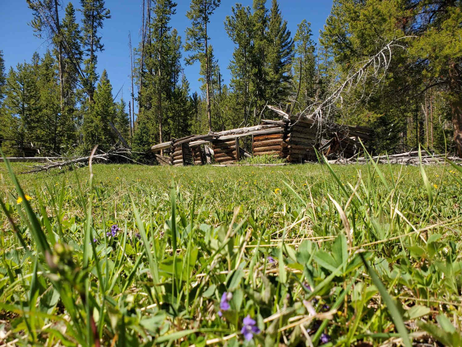
Photos of Bliss High Country Scenic Track
Difficulty
Deep ruts, loose rocks, washed out road surfaces, steep climbs, some moderate depth water crossings depending on time of year.
Status Reports
Popular Trails
Salmon Creek T4800

Hughes Creek
Gleason McAbee 334
Rabbit Foot Mine Trail
The onX Offroad Difference
onX Offroad combines trail photos, descriptions, difficulty ratings, width restrictions, seasonality, and more in a user-friendly interface. Available on all devices, with offline access and full compatibility with CarPlay and Android Auto. Discover what you’re missing today!