Malad Loop
Total Miles
51.7
Technical Rating
Best Time
Spring, Summer, Fall
Trail Type
Single Track
Accessible By
Trail Overview
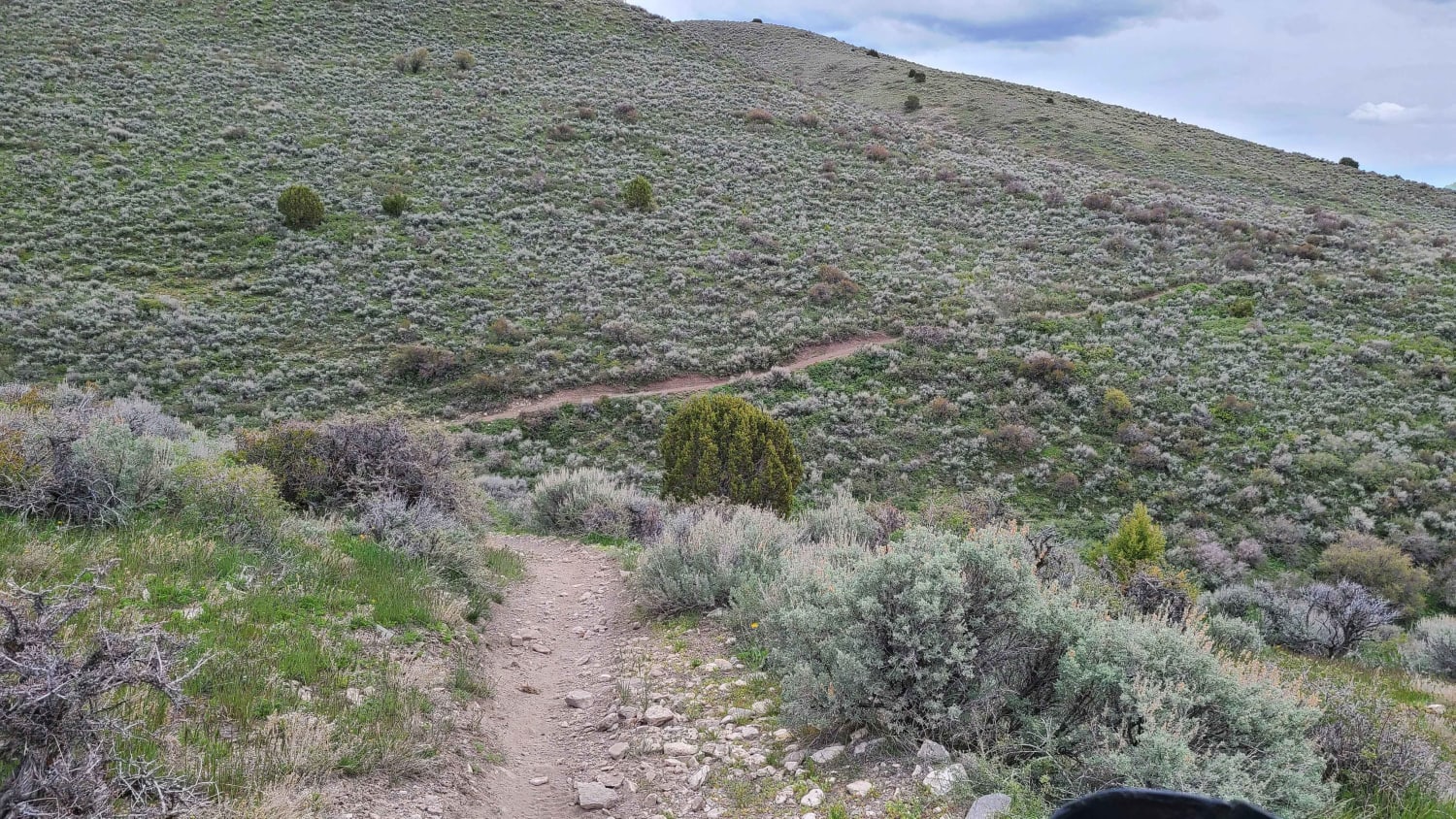
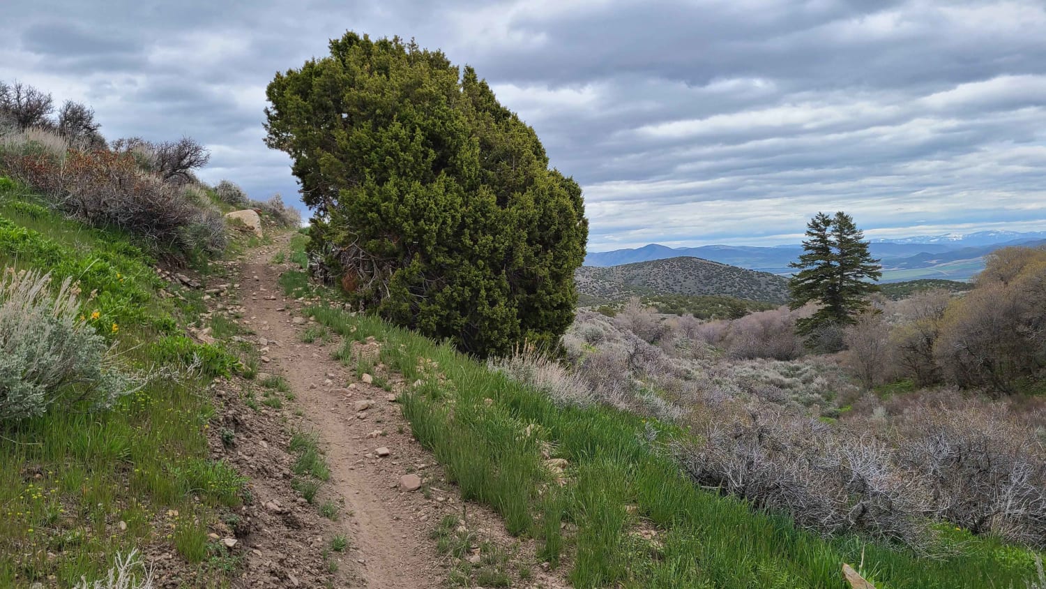
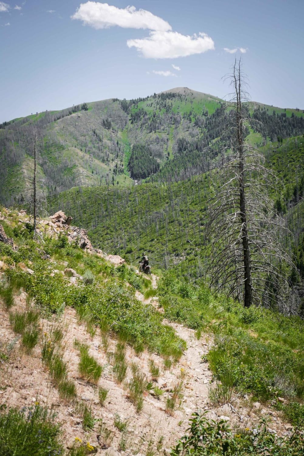
This loop takes you around the Bannock range North of Malad, ID. It is a mix of roads, ATV trails, and single track. The loop can be ridden in either direction, but the clockwise direction is slightly more difficult due to more technical climbs. There are multiple gates that may be closed during the ride. Please respect these and close them after going through them. This description will follow the route in a counter-clockwise direction.From the Wright Creek Motorized trailhead near the Malad Summit Guard Station, take ATV trail 325 North. This will turn into a single track that goes North all the way to Wright Creek road. This part of the trail has some small water crossings, a few steep climbs, and a rocky section that adds to the challenge. The trail runs closely parallel to a barbed wire fence for a portion of the trail, so stay alert! When you reach the road, follow it West, then South for a few miles until you come to the Southbound ATV trail. This starts with a steep, technical climb. Be aware that the trail veers to the right about a mile in, so watch for the trail as it drops to the right. Follow the ATV trail until Mill Canyon. If you want to end the ride early, you can go up Mill Canyon, which will take you back to the parking area. Otherwise, stay to the west and get on the single track that heads south out of Mill Canyon. This single track follows the side of the mountain for a few miles, with opportunities for great views. If you're doing this route in the summer, you may want to start with this section in the morning as it is exposed and south-facing. So, it could get pretty hot on a warm summer afternoon. The single track will go into Kent's Canyon. This is another opportunity to cut back over the mountains to the parking area. Although this is a technical single track that has multiple obstacles as you get close to the top. If you'd prefer to stay on the main route, you can continue southeast on the single track for another few miles to Secret Canyon. This is the last of the single track for the loop. From Secret canyon, you'll follow the roads as they continue around the mountains. After a few miles, you connect to the final ATV trail that continues North until you get back to the parking area. There is one steep technical climb on this ATV trail.Overall, this is a great loop that has a little of everything. And with multiple trails that cut over the mountains, there's more opportunity to get in trail miles.
Photos of Malad Loop
Difficulty
A few technical sections with climbs and rocks. Inexperienced riders may need help in some of those sections.
Status Reports
Popular Trails
Kinsey Curran Connector
FR 09 - Mann Creek
The onX Offroad Difference
onX Offroad combines trail photos, descriptions, difficulty ratings, width restrictions, seasonality, and more in a user-friendly interface. Available on all devices, with offline access and full compatibility with CarPlay and Android Auto. Discover what you’re missing today!
