Access Route to Idaho Centennial Trail
Total Miles
8.9
Technical Rating
Best Time
Summer, Spring, Fall
Trail Type
Full-Width Road
Accessible By
Trail Overview
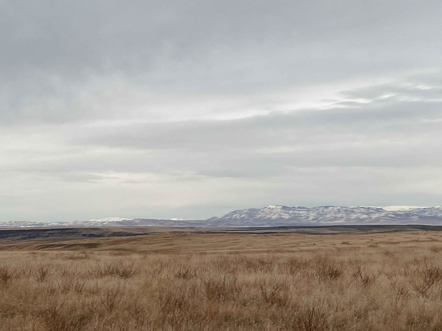
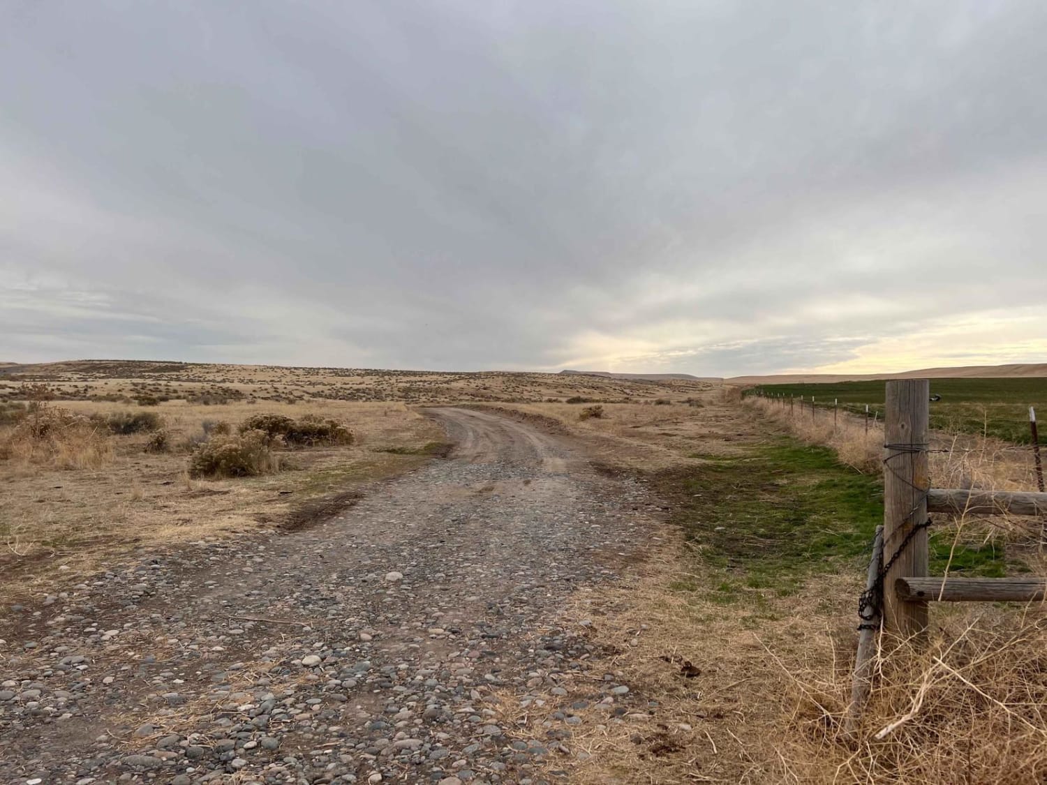
This area has a lot of historic routes that seem not to exist anymore. After a great many private property access failures, this route from the tarmac was successful. This trail will lead through grassy cow pastures and stunning rolling hills. The surface is hard-packed sand but could be muddy when wet based on the ruts in the trail. There are a few cattle gates to open and close. Just follow the "leave it how you found it rule" when you come to them. The trail passed into the Sailor Creek Air Force range without any fence or signage. Watch for low-flying aircraft and be sure to stay within established routes. There are two bars of LTE service that fade in and out.
Photos of Access Route to Idaho Centennial Trail
Difficulty
Some ruts, but they are mostly manageable--a few sections with large piles of tumbleweeds. Be sure to keep the cattle gates open or closed depending on how you came across them.
Status Reports
Access Route to Idaho Centennial Trail can be accessed by the following ride types:
- High-Clearance 4x4
- SUV
- SxS (60")
- ATV (50")
- Dirt Bike
Access Route to Idaho Centennial Trail Map
Popular Trails

Solitaire Creek / Sob Creek 4WD

CDA-Hayden Lake View Route
The onX Offroad Difference
onX Offroad combines trail photos, descriptions, difficulty ratings, width restrictions, seasonality, and more in a user-friendly interface. Available on all devices, with offline access and full compatibility with CarPlay and Android Auto. Discover what you’re missing today!


