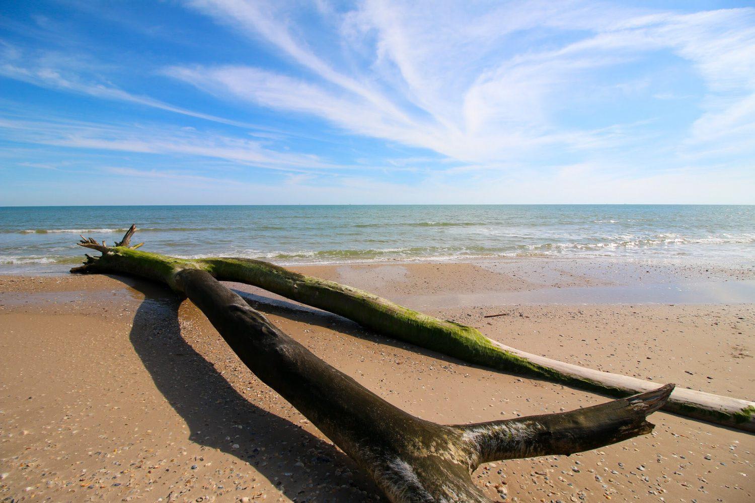
Matagorda Beach
Total Miles
28.4
Elevation
2.72 ft
Duration
5 Hours
Technical Rating
Best Time
Spring, Summer, Fall, Winter
Trail Overview
Along the central Texas coastline is a rare treasure for The Lone Star State. An undeveloped barrier island split by the Colorado River, and shielding East Matagorda Bay. Along its length are marshes flush with birds, shallow coves filled with fish and most unusual of all for the region, a slew of sandy trails open to 4WDs. Those willing to make the journey south will be able to navigate the beach stretching the length of the island, as well as the backroads that weave across its interior. While technical terrain won't be an issue, soft sand, rising tides and unexpected mud holes will keep you on your toes. The trail runs the length of the beach, and explores a few of the back alcoves, but there is still far more to see beyond our track. So, air down those tires, load up your camping gear, and hit the beach.
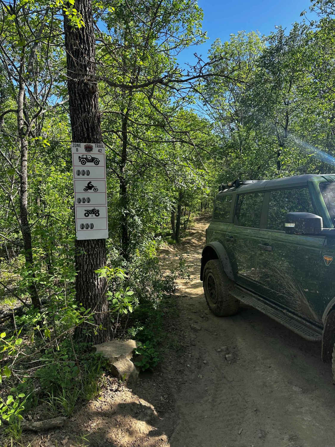
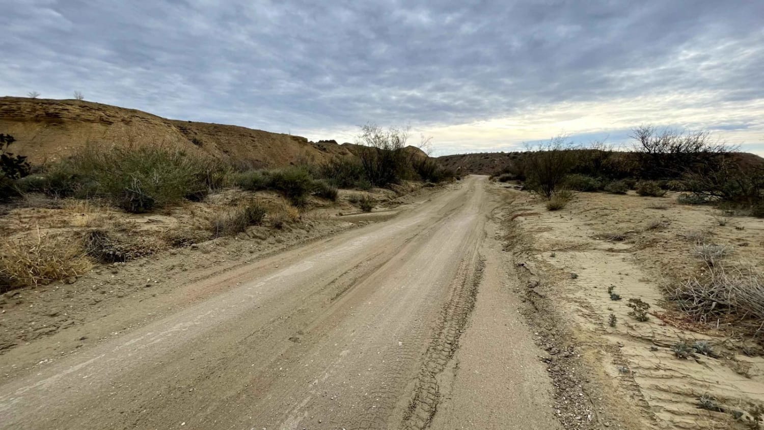
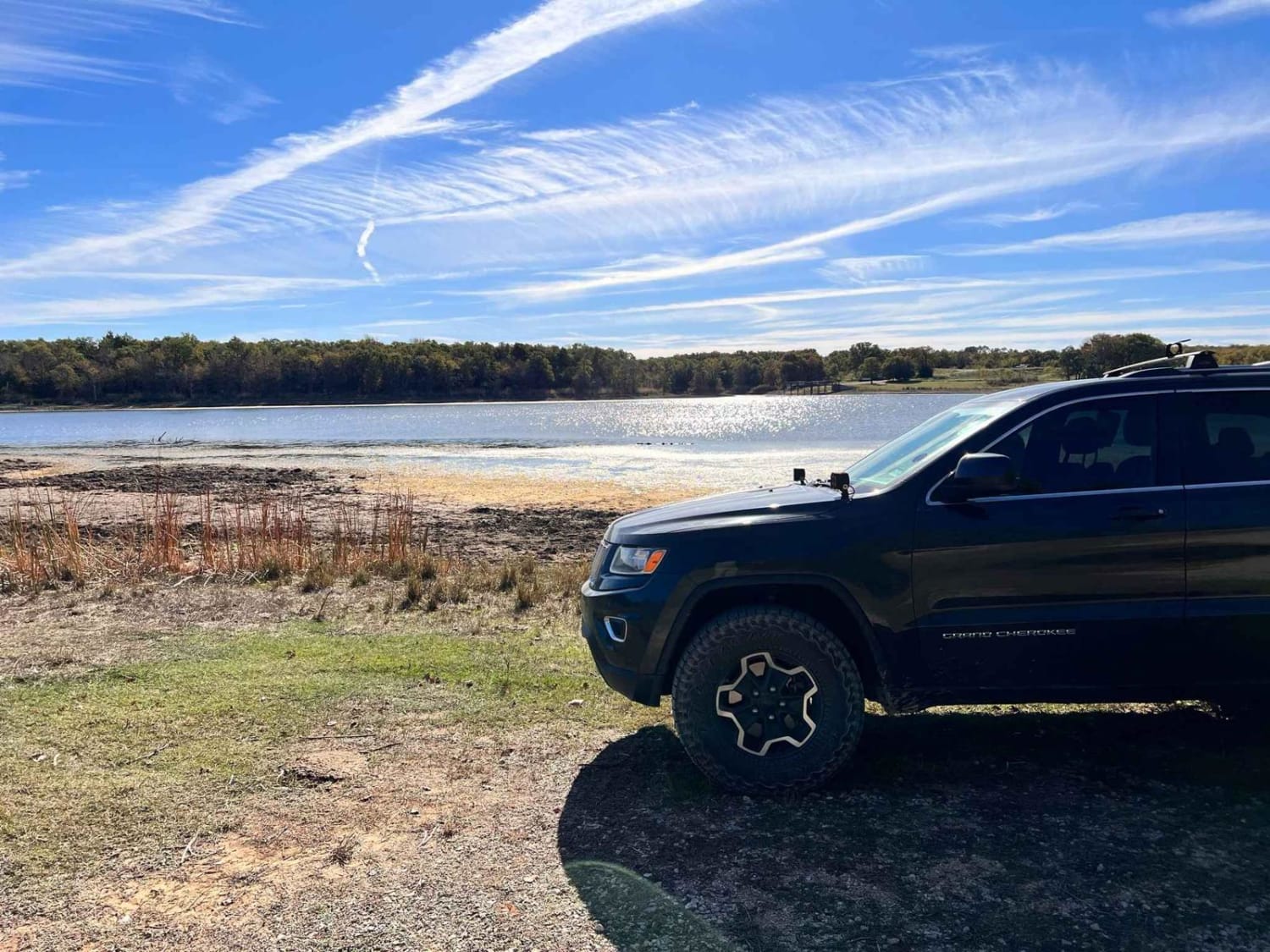
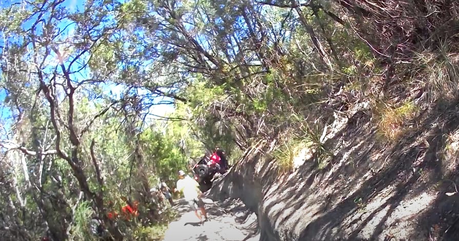
Photos of Matagorda Beach

Difficulty
The beach is easy to drive on under the right conditions, but you must be aware of the tides to avoid sinking your vehicle. Soft sand and deep mud holes on the interior of the island can make for an interesting drive.
Status Reports
Popular Trails
Hopewell Road
The onX Offroad Difference
onX Offroad combines trail photos, descriptions, difficulty ratings, width restrictions, seasonality, and more in a user-friendly interface. Available on all devices, with offline access and full compatibility with CarPlay and Android Auto. Discover what you’re missing today!