Taylor Canyon
Total Miles
2.9
Elevation
2,430.35 ft
Duration
1 Hours
Technical Rating
Best Time
Spring, Summer, Fall
Trail Overview
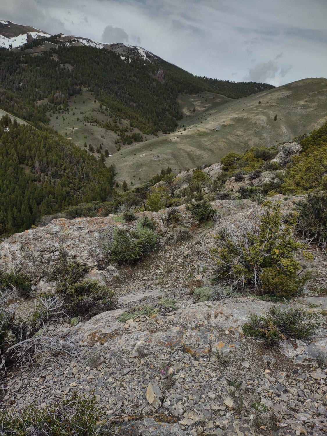
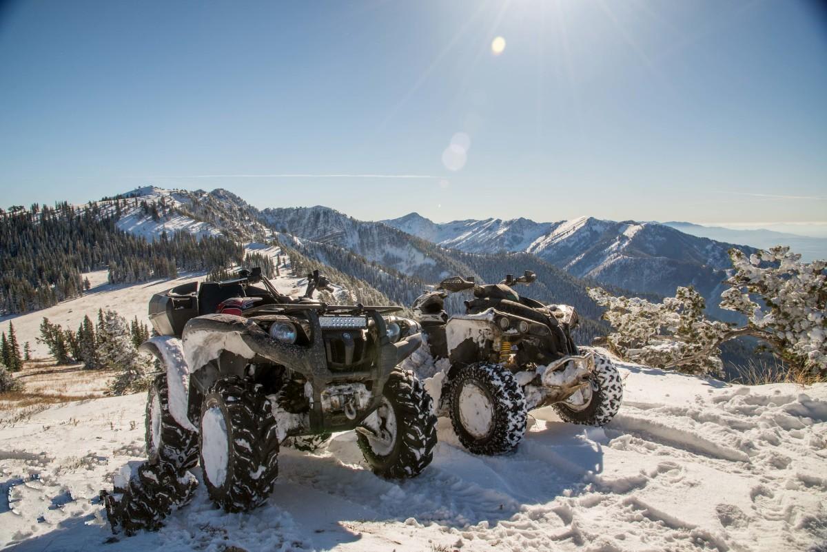
Just under six miles RT, this track takes you a little higher up into the Lost River Mountains and deeper into the forest. The elevation at the top is 7619 feet. Wildlife sightings are possible, and if you're too early in the spring, you may encounter snow and/or mud. The views are amazing.
Photos of Taylor Canyon
Difficulty
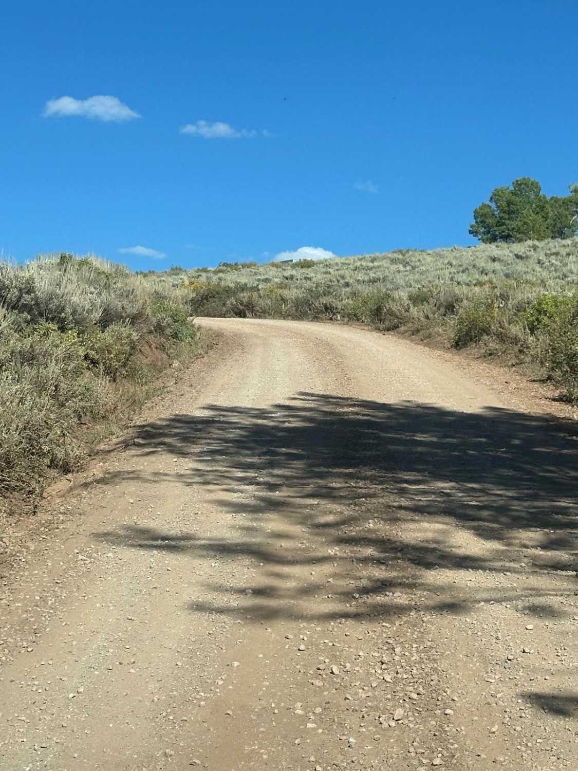
Spring run-off will cause erosion in some places, and if you are here in early spring, you may encounter snow and/or mud on these trails.
History
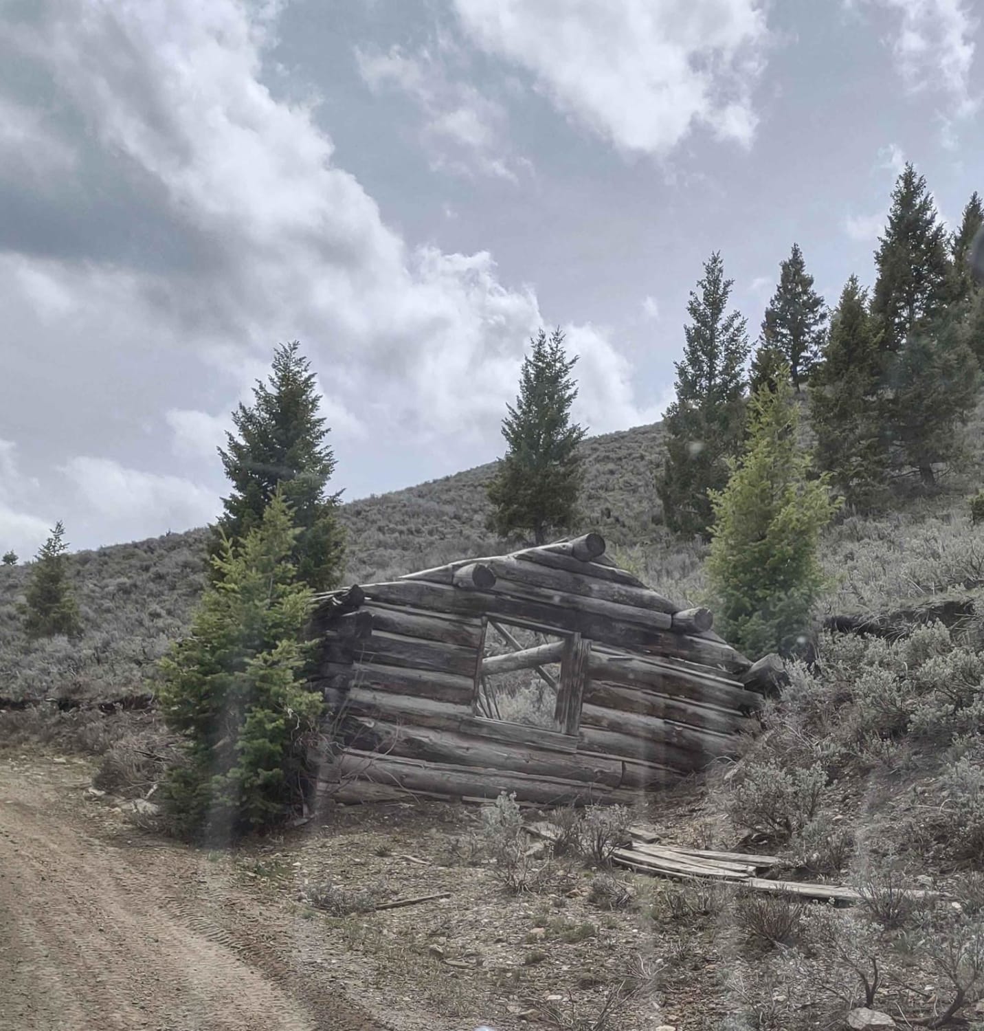
Hiding in the shadows of Mt. Borah, Idaho's highest mountain peak (12,662 ft.), and the rest of the towering Lost River Range, this old mining town is often called the "Top of Idaho" for good reason. Mackay is named after John W. Mackay, the Nevada mining engineer who funded the mines located below Mackay Peak near what is now the ghost town of White Knob. Early settlers had already begun inhabiting the valley between the Lost River Range and the White Knob Mountains in the late 1800s, and by 1900 the settlement along the Big Lost River was booming. People came in droves to make their fortunes in "Copper City," as the community was being called. But it wasn't until 1901 that the new town was founded and named Mackay. There is a wonderful museum in Mackay.
Popular Trails

Hay Knapp Creek
Trail Creek Pass 408/208
Boss Canyon
The onX Offroad Difference
onX Offroad combines trail photos, descriptions, difficulty ratings, width restrictions, seasonality, and more in a user-friendly interface. Available on all devices, with offline access and full compatibility with CarPlay and Android Auto. Discover what you’re missing today!
