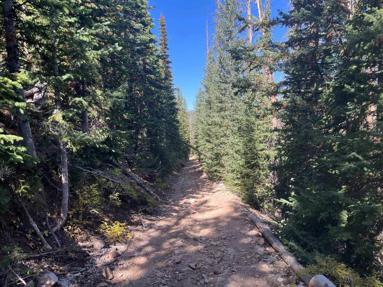
Cottonwood Road
Total Miles
7.9
Technical Rating
Best Time
Fall, Spring
Trail Type
Full-Width Road
Accessible By
Trail Overview
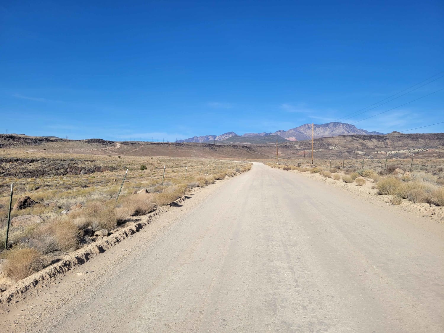
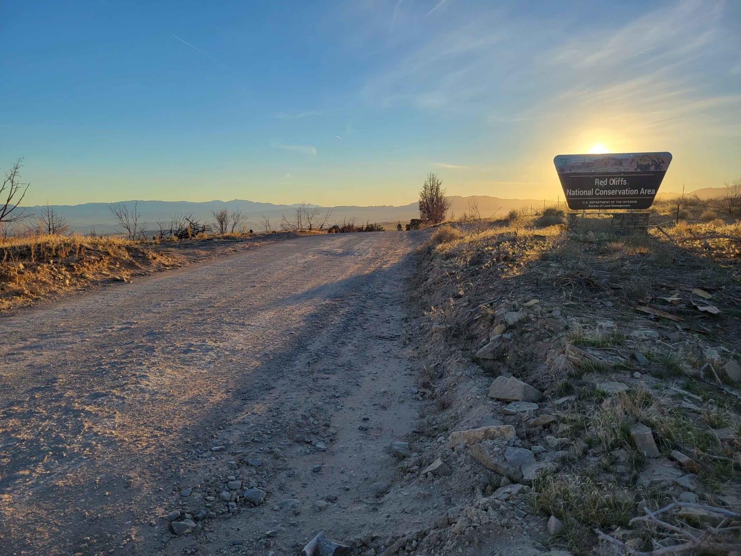
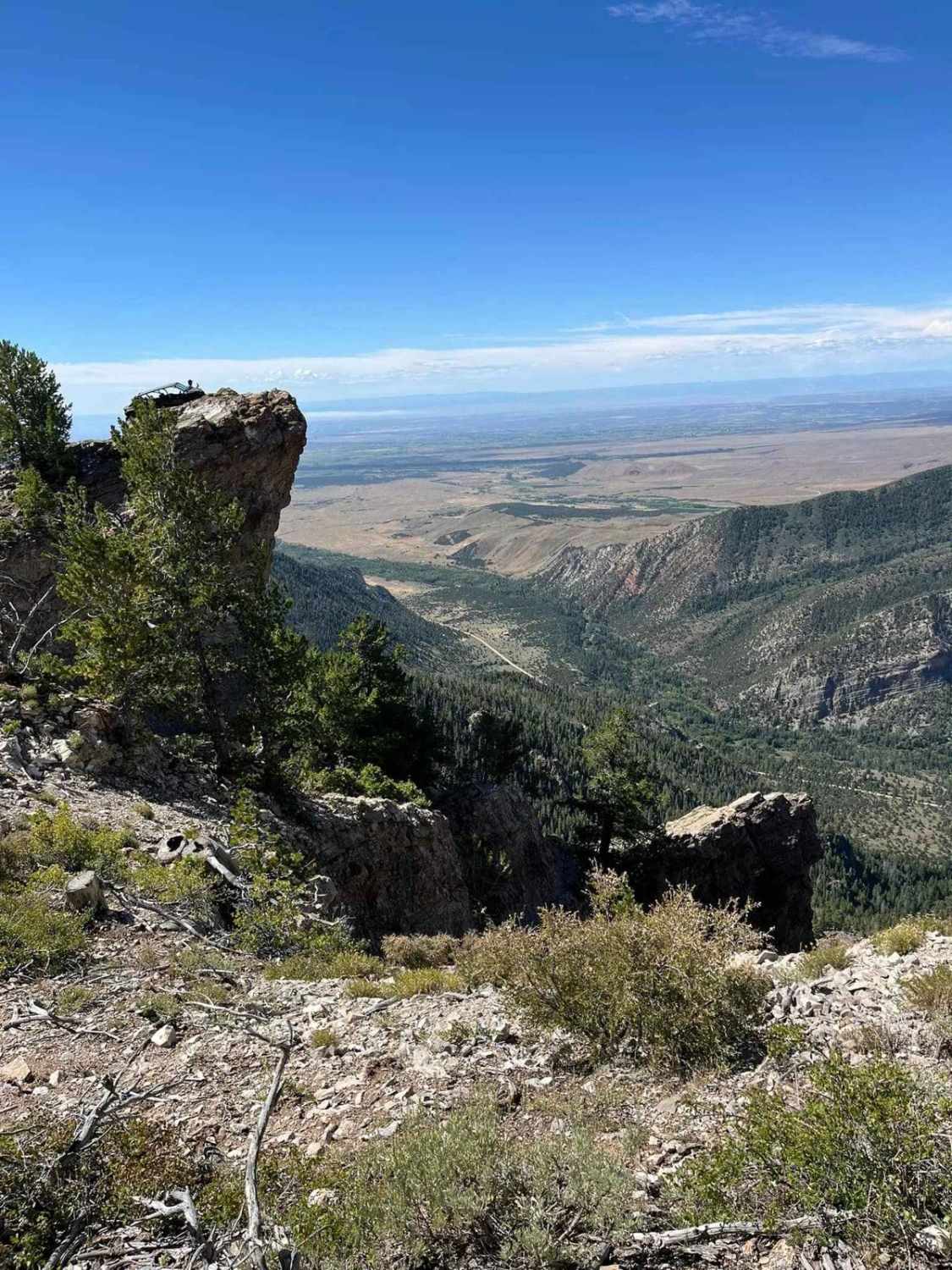
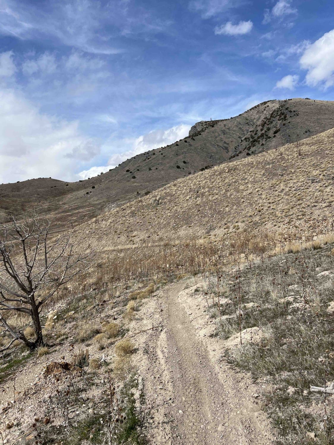
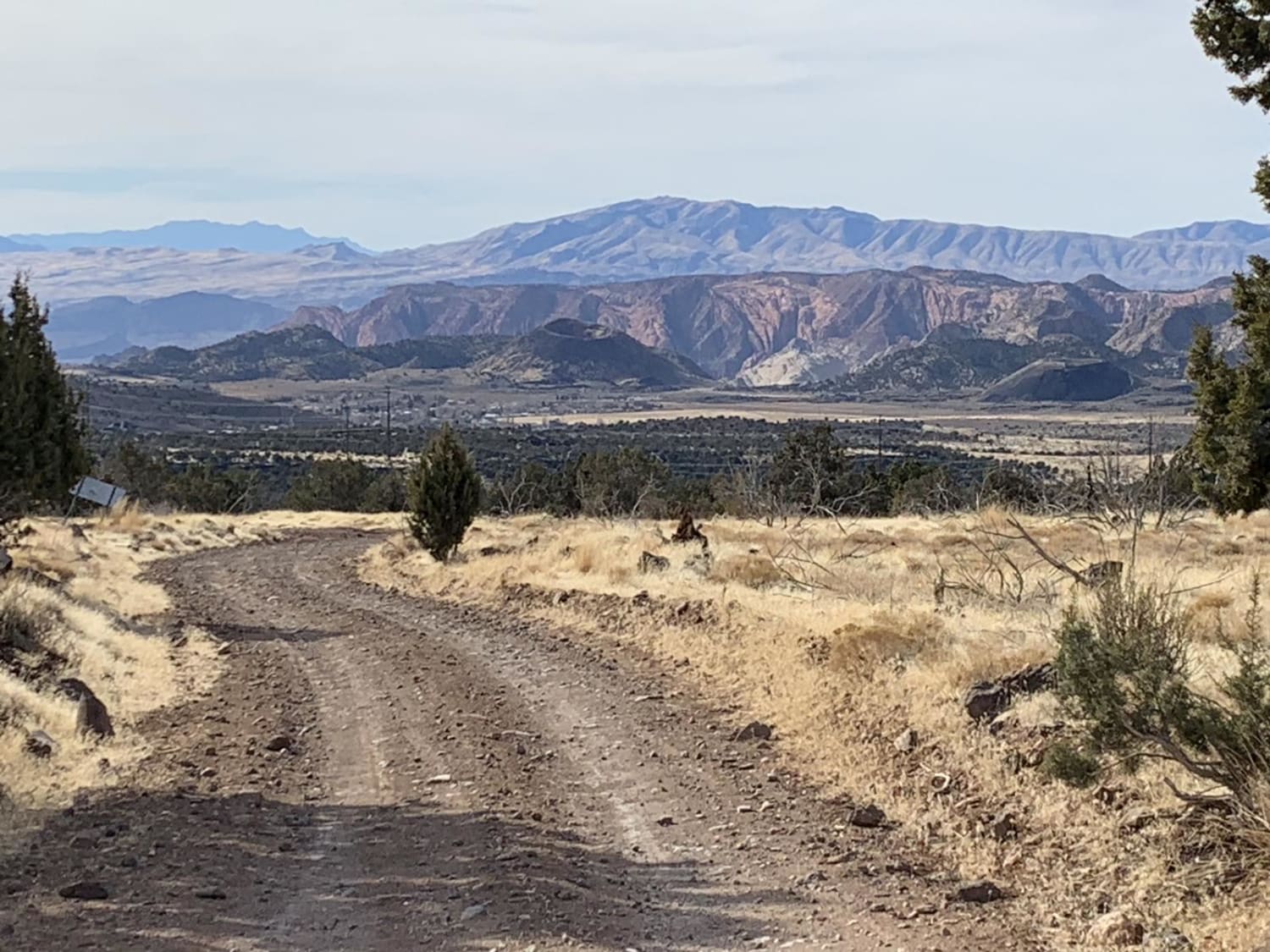
What begins as a paved road soon turns into an easy, maintained dirt road, wide enough for vehicles to pass. There are several (hike, bike, horse) trailheads along this route. Beautiful desert scenery in every direction. Even though it's on BLM land, it's also the Red Cliffs National Conservation Area, therefore public camping and shooting are not allowed. The road may be impassable during wet or winter conditions.
Photos of Cottonwood Road
Difficulty
What begins as a paved road soon turns into an easy maintained dirt road, wide enough for vehicles to pass. There are several (hike, bike, horse) trailheads along this route. Beautiful desert scenery in every direction. Even though it's on BLM land, it's also the Red Cliffs National Conservation Area, therefore public camping and shooting are not allowed. Road may be impassable during wet or winter conditions.
Popular Trails
Diamond Valley-Lone Pine-Cottonwood Loop
The onX Offroad Difference
onX Offroad combines trail photos, descriptions, difficulty ratings, width restrictions, seasonality, and more in a user-friendly interface. Available on all devices, with offline access and full compatibility with CarPlay and Android Auto. Discover what you’re missing today!
