G19 - Bluefer Branch
Total Miles
2.7
Elevation
645.46 ft
Duration
0.5 Hours
Technical Rating
Best Time
Spring, Summer, Fall, Winter
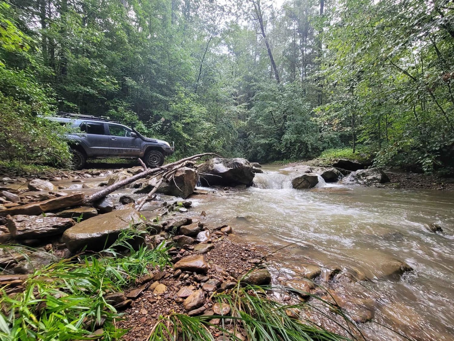
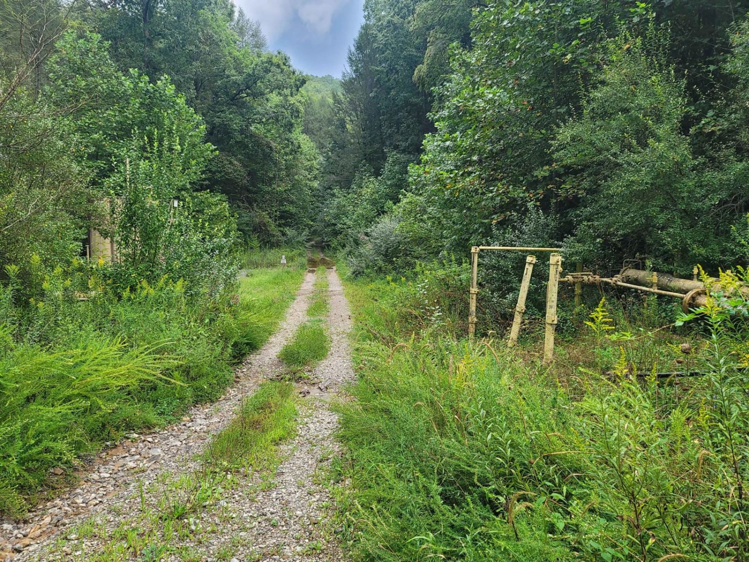
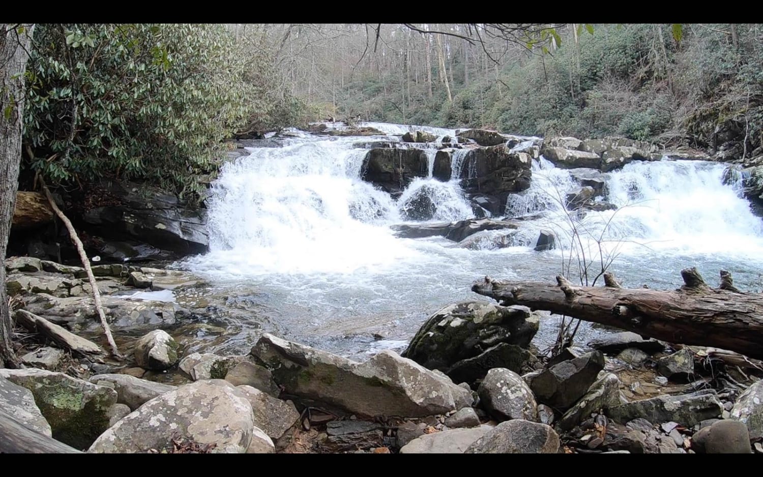
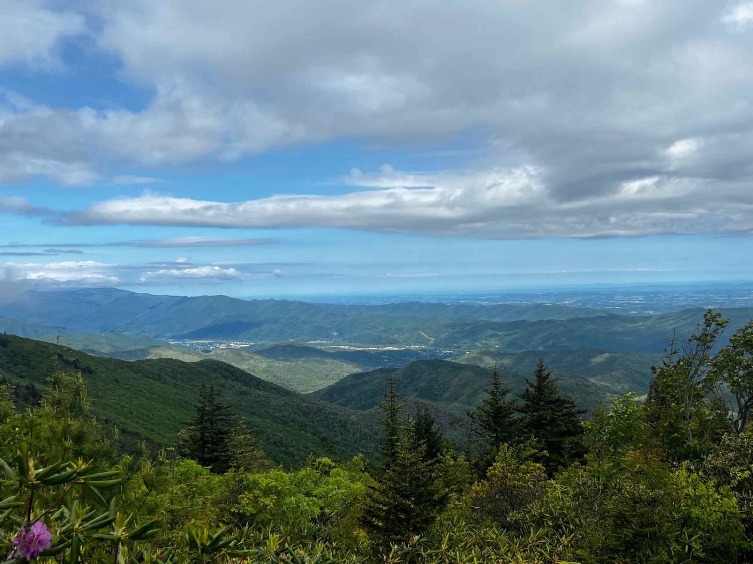
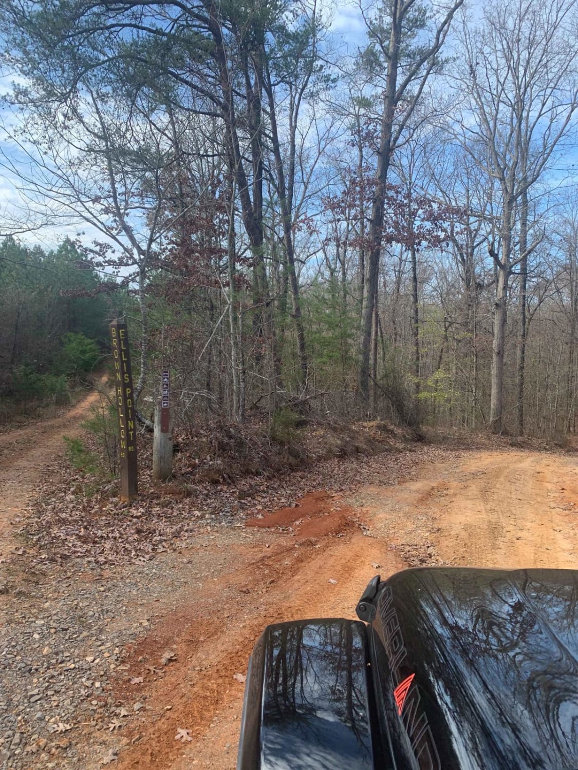
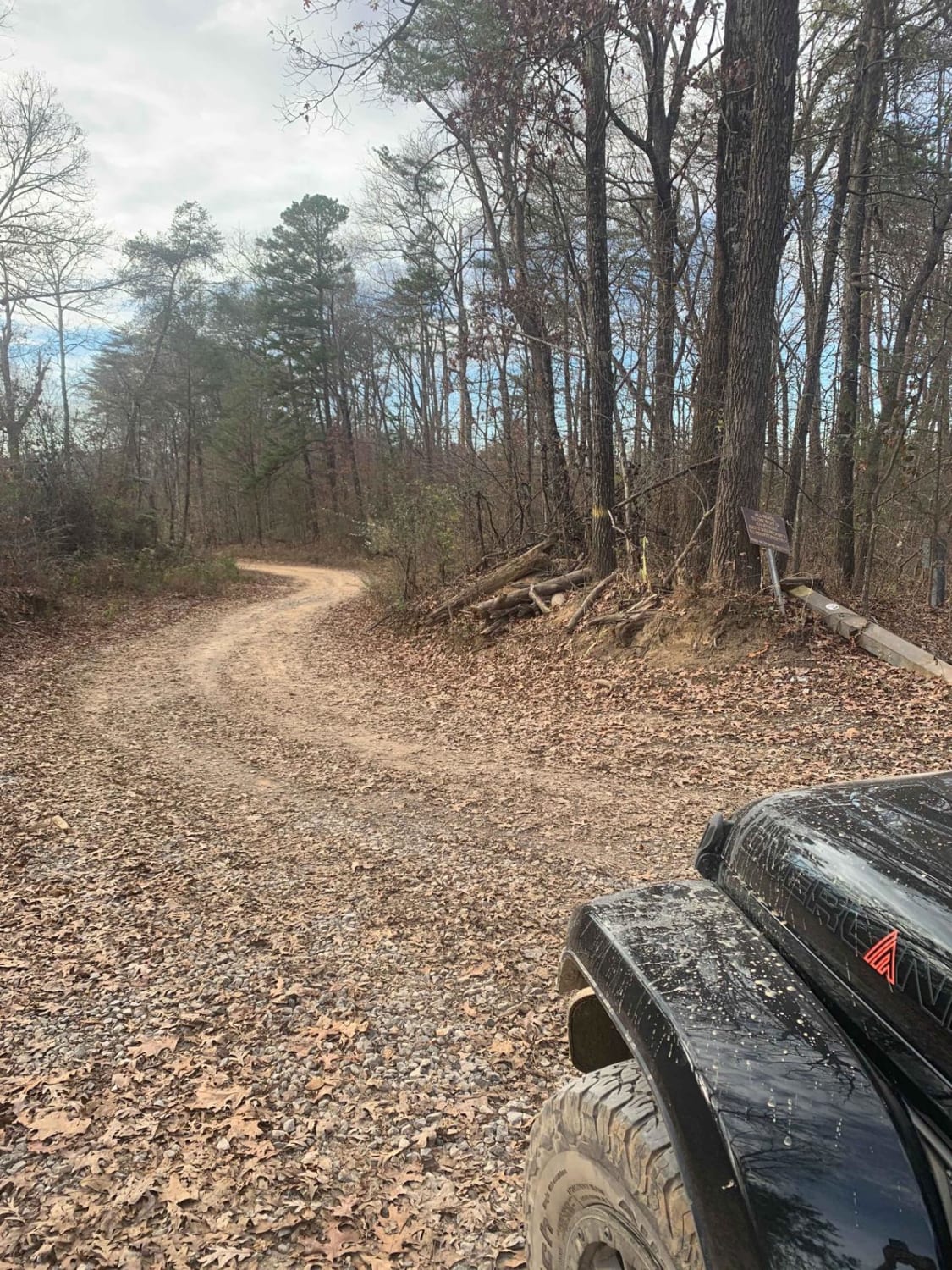
Trail Overview
G19 - Bluefer Branch screams, "Take me to the mountains!" This trail, when taken from beginning to end, will take you to a dead end, double back, and then take you to another section of the trail. This trail is for water lovers as it has multiple crossings and a plethora of spots to stop for pictures. All the water crossings also come with washouts and mud holes, so expect to leave them dirty. This trail is a dead end, but it does connect you to G38 which is another dead end trail.
Photos of G19 - Bluefer Branch
Difficulty
This trail is overall a 2 rating and a green 'G" trail on the park map, but due to creek crossings in the valley, high currents have the potential to sweep away vehicles, especially after heavy rains.
Popular Trails
Coker Creek Falls
The Beauty Spot
Ellis Pt/Bluff View Road
Hailey Road
The onX Offroad Difference
onX Offroad combines trail photos, descriptions, difficulty ratings, width restrictions, seasonality, and more in a user-friendly interface. Available on all devices, with offline access and full compatibility with CarPlay and Android Auto. Discover what you’re missing today!