Burnt Basin
Total Miles
17.6
Technical Rating
Best Time
Summer
Trail Type
Full-Width Road
Accessible By
Trail Overview
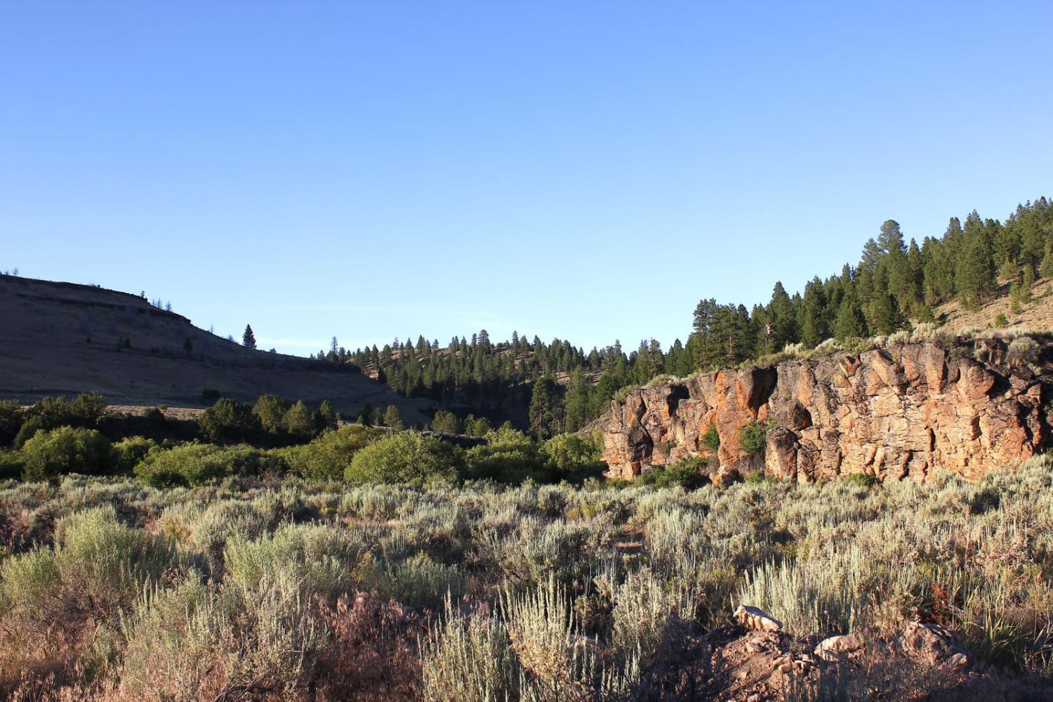
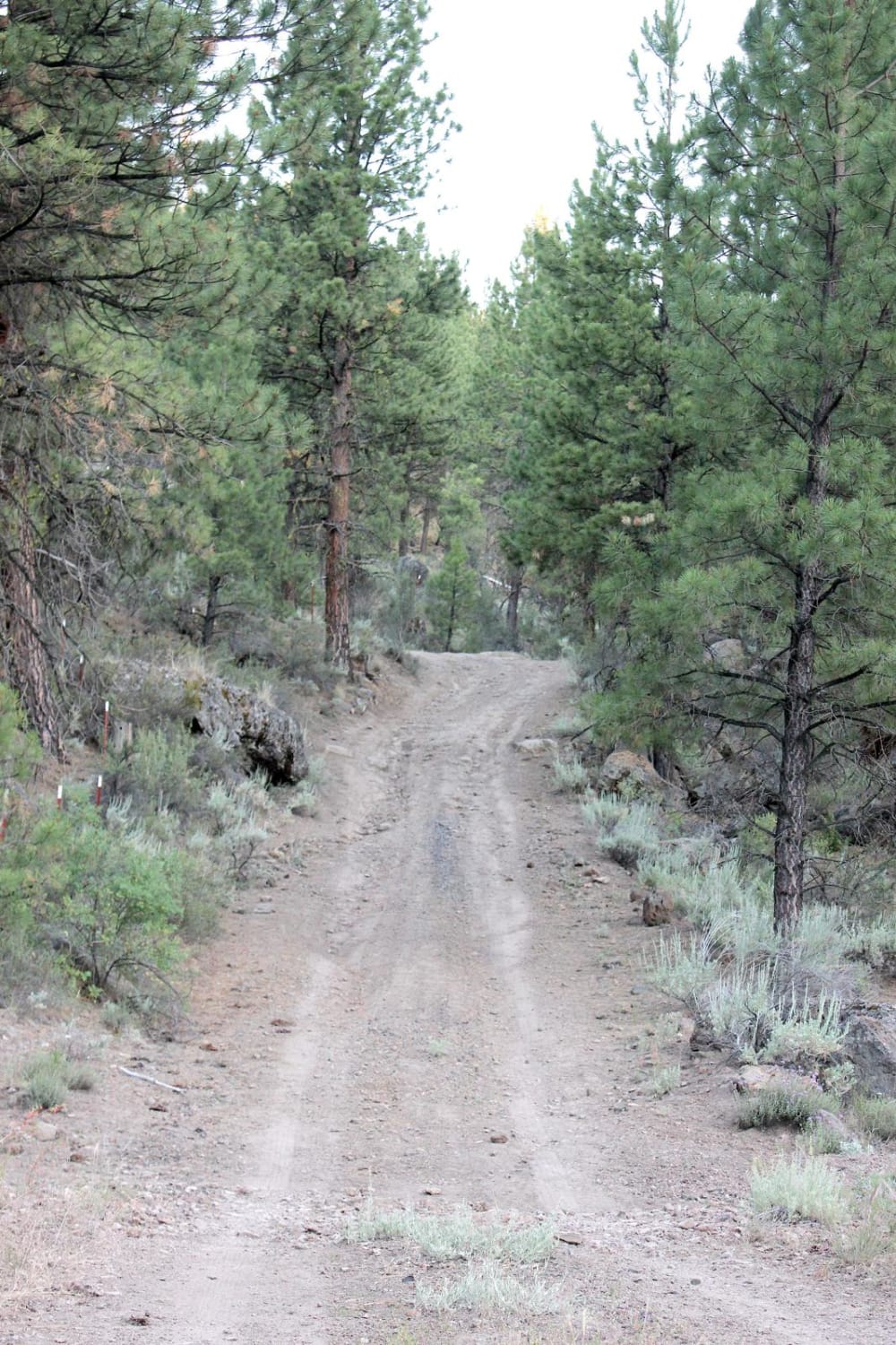
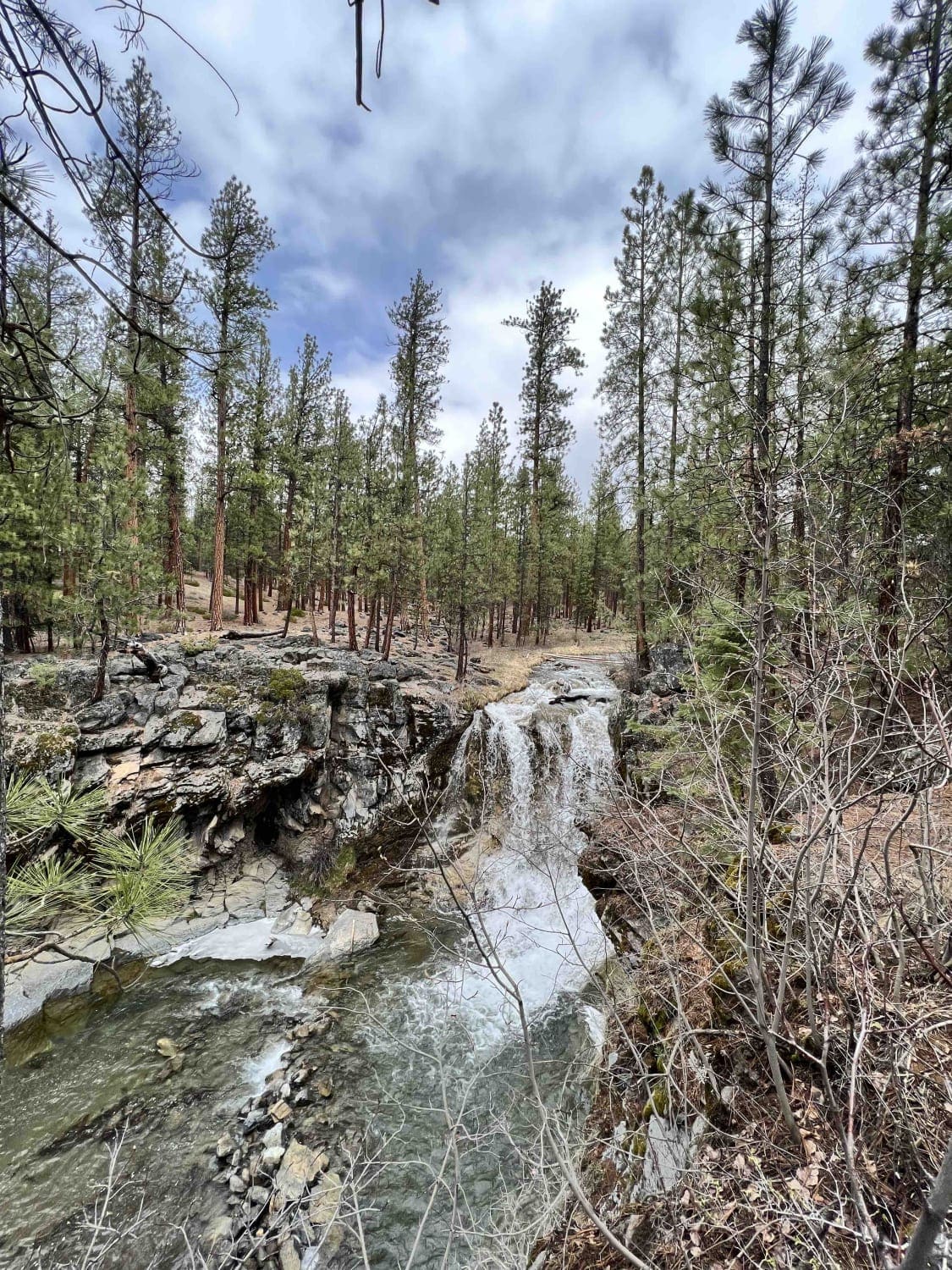
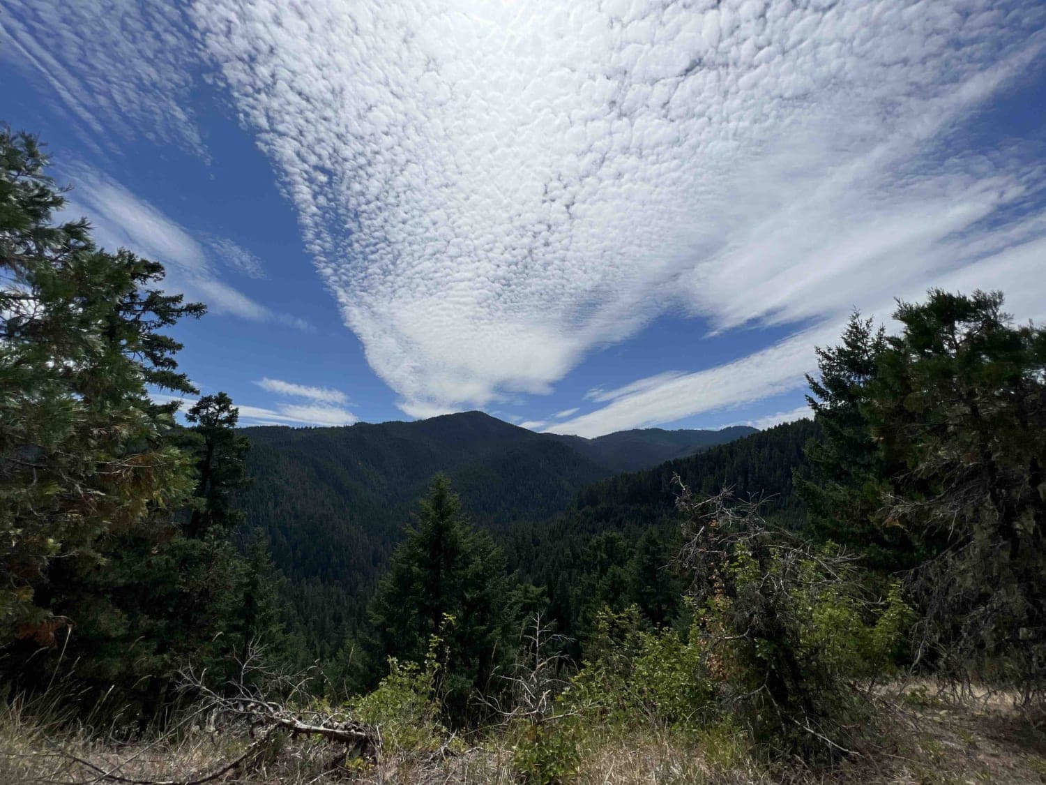
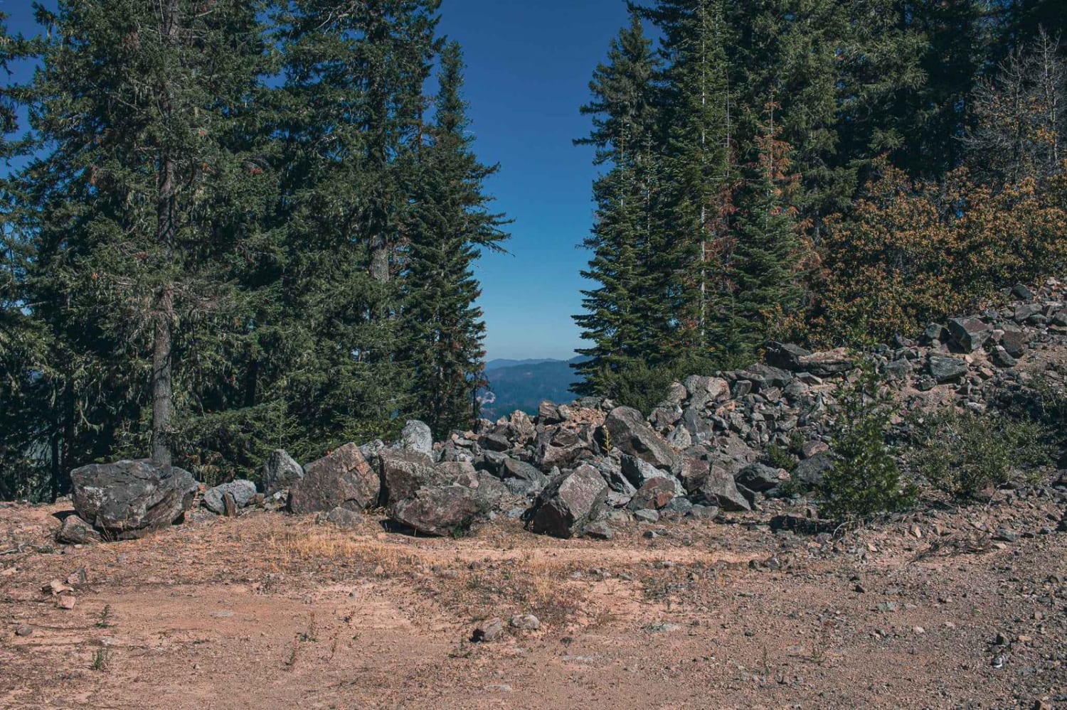
This is a fantastic trail just outside of Burns, OR. It travels through many types of high-desert terrain: rimrocks, canyons, rivers, creeks, forests and plains. There are two large, fun water crossings on this trail, as well as many fantastic views. Many people use this area to collect obsidian and other geological specimens. In spring, the trail is very wet, with several water crossings, but it is a fun, rugged drive the rest of the year. It has many large rocks, deep ruts, steep loose grades, water crossings and deep mud holes. You can combine this trail with other, even more adventurous routes, to make a loop. Summers here get very hot and dry, and fire danger gets extremely high in late summer and fall. There is little to no cell service.
Photos of Burnt Basin
Difficulty
Huge variety of obstacles from steep grades to water crossings, and there are several large obstacles in the road.
Status Reports

Popular Trails
McKay Crossing 2120
Larison Creek Trailhead Upper 1202-101
Calfhead T.S.

Soda Fork - 2041
The onX Offroad Difference
onX Offroad combines trail photos, descriptions, difficulty ratings, width restrictions, seasonality, and more in a user-friendly interface. Available on all devices, with offline access and full compatibility with CarPlay and Android Auto. Discover what you’re missing today!