Hanging Rock Hollow Falls Trail
Total Miles
4.6
Technical Rating
Best Time
Spring, Summer, Fall, Winter
Trail Type
High-Clearance 4x4 Trail
Accessible By
Trail Overview
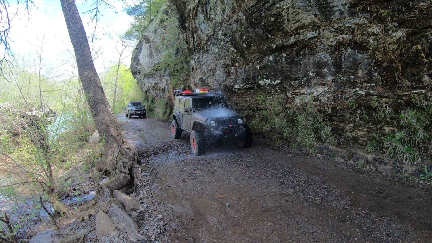
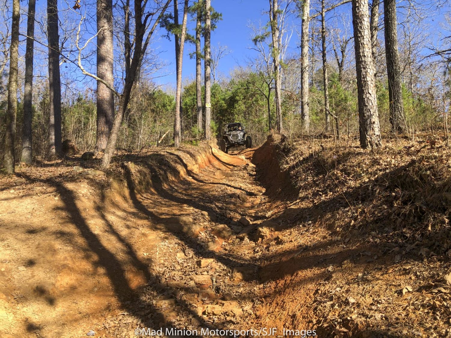
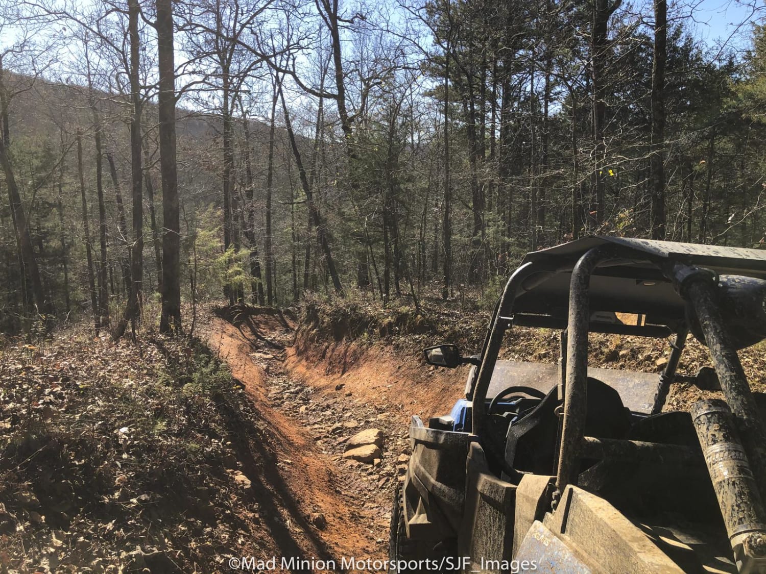
This trail is a good test of your off-road skills. It has many elevation changes and obstacles that will test your equipment. The lower areas have several water crossings and some very deep mud bog areas. Choose your line carefully. The trail is prone to wash-outs and has plenty of deep gutters. The northern end reaches HWY 23 at West Fly Gap Road. The southeastern connection is on Morgan Mountain Road. There are several other trails to explore along the way and two fun waterfalls that make for a good stop to refresh. Recovery equipment is a must when traveling this trail. The designated trail has moved in some areas and will remain moved due to natural events. This is one of the longer, more difficult trails to ride in the area.
Photos of Hanging Rock Hollow Falls Trail
Difficulty
The trails is moderate for 60% on the lower area along Mountain Creek. The northern 20% of the trail is very tight and rough with very narrow area's more suited to SxS but a short wheelbase 4x4 can run the trail. The southern 20% is very rutted and washed out with no bypass area.
Status Reports
Hanging Rock Hollow Falls Trail can be accessed by the following ride types:
- High-Clearance 4x4
- ATV (50")
- Dirt Bike
Hanging Rock Hollow Falls Trail Map
Popular Trails

H13 Rock & A Hard Spot

Carwash Falls

Ouachita Pinnacle 1952 FT
The onX Offroad Difference
onX Offroad combines trail photos, descriptions, difficulty ratings, width restrictions, seasonality, and more in a user-friendly interface. Available on all devices, with offline access and full compatibility with CarPlay and Android Auto. Discover what you’re missing today!


