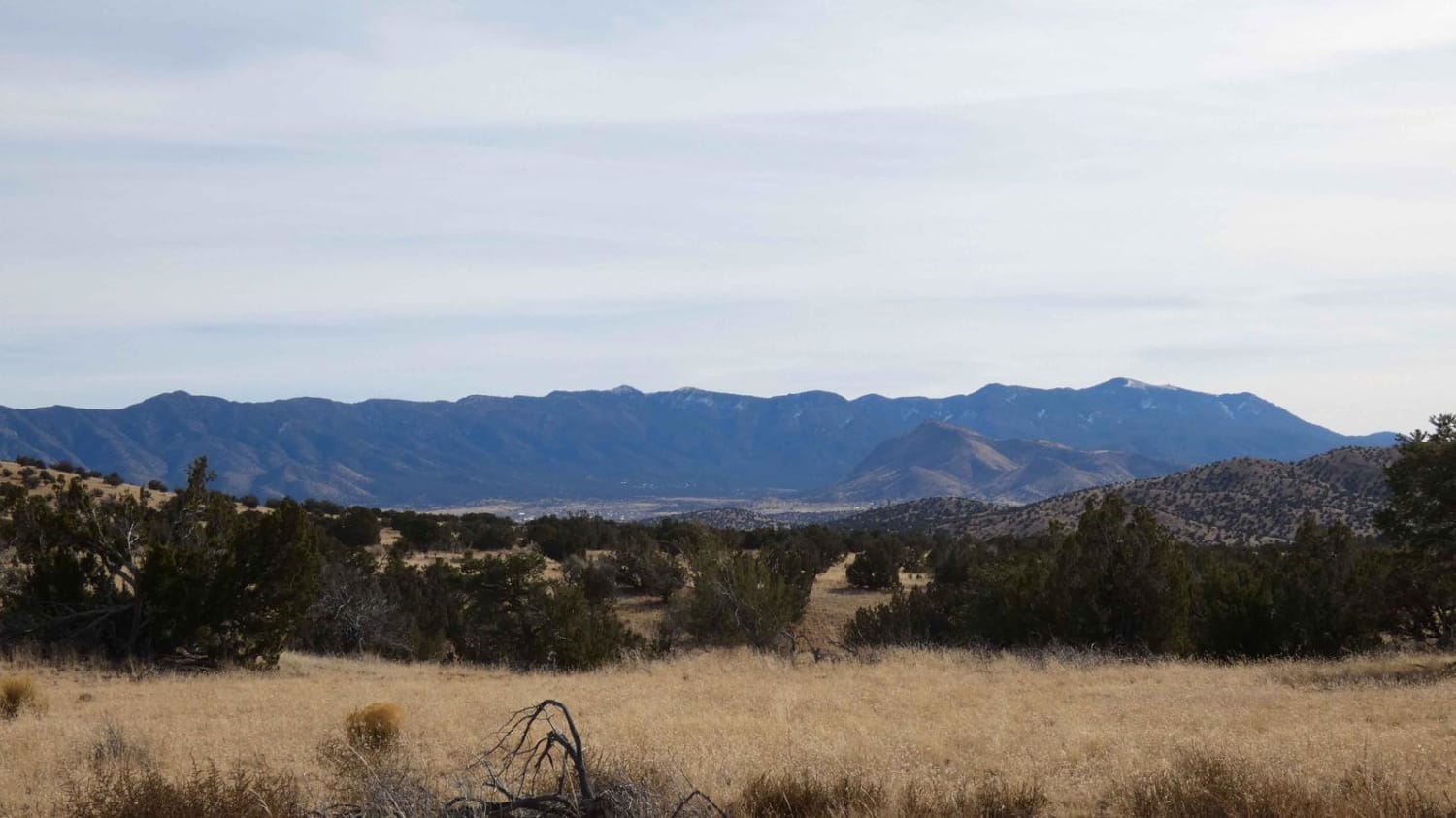
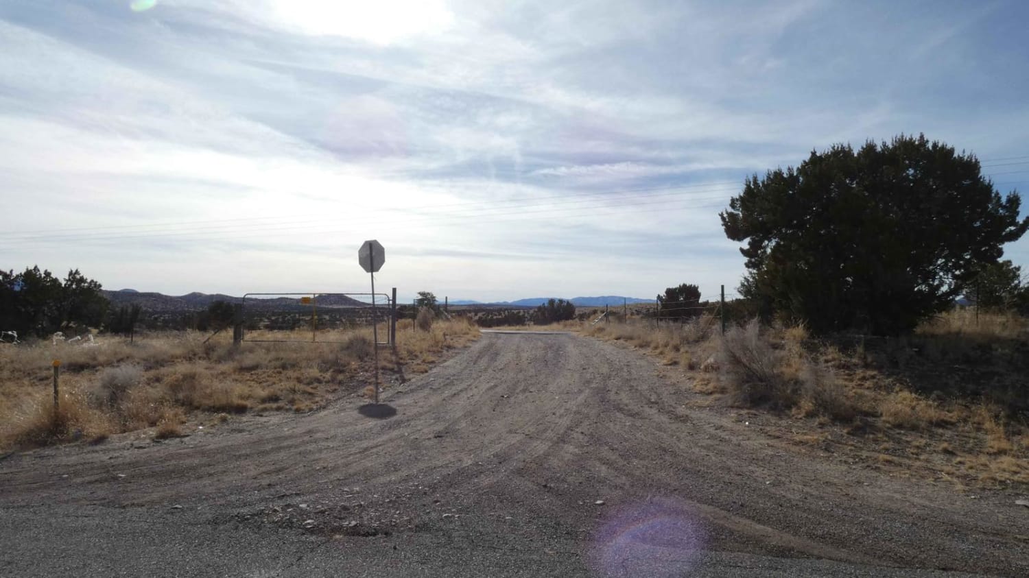
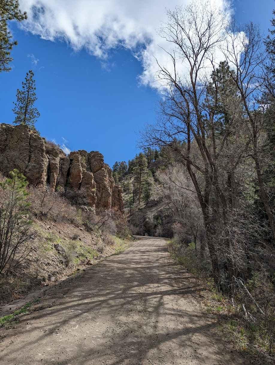
Gallinas Canyon
Total Miles
9.2
Elevation
2,279.45 ft
Duration
0.75 Hours
Technical Rating
Best Time
Spring, Summer, Fall, Winter
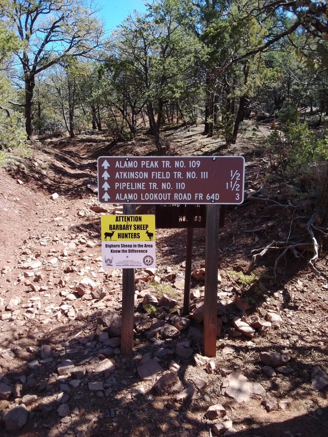
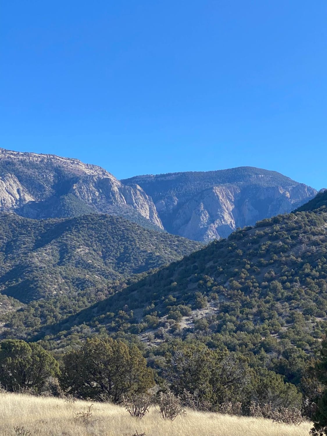
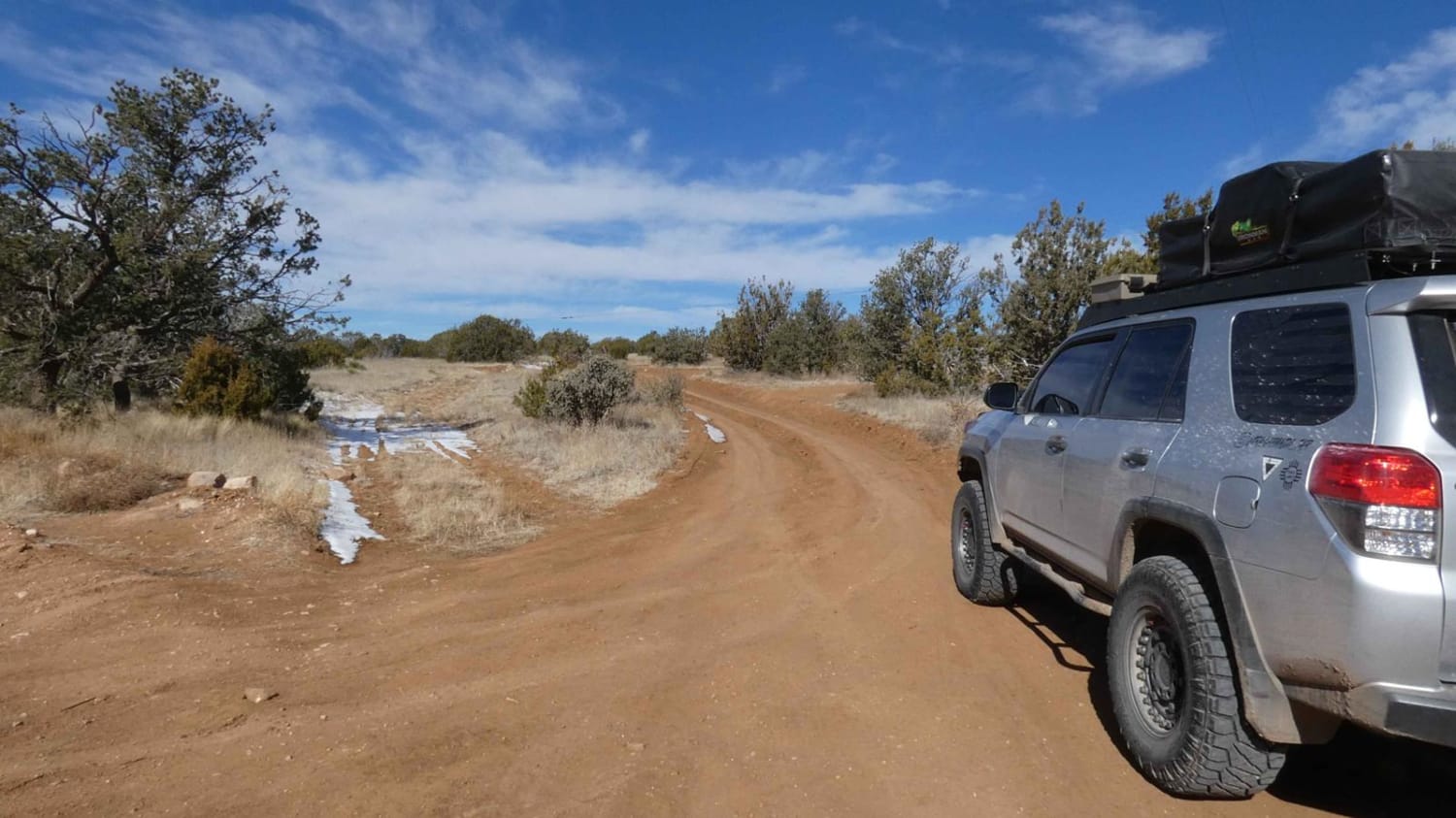
Trail Overview
Gallinas Canyon connects from CR 169 to Council Rock/FSR 10 and can be run as an out-and-back or as a loop utilizing one of two available motorized spurs off the main track. While the majority of the trail is single-vehicle-wide, there is plenty of room to pass in most areas. There are no large above-grade obstacles, however, there is some rutting that is more than 12 inches in depth, with several of them being off-camber. There are also a few shorter steep grades with loose rocky surfaces and some small low-lying washes that show signs of water flow--the potential to be water crossings with less than a foot of water. A portion of the trail does cut through a soft sand and shale arroyo that anything other than AWD, 4WD, or 4x4 vehicles may find difficult. Cell service is moderate for the first couple of miles and eventually drops to no service as the road twists through the canyons.
Photos of Gallinas Canyon
Difficulty
Drivers will encounter large sections of soft sand and shale in the arroyo as well as several of the smaller washes along the trail. There are a few small grades and several areas with deeper ruts and off-camber sections. There are no large obstacles along the trail, however, the washes do have the potential to be shallow water crossings with water depths under 12 inches.
Status Reports
Popular Trails
FS 222 Las Tablas to Tres Piedras
Westside Road
Forest Loop Road 445
West Mountain
The onX Offroad Difference
onX Offroad combines trail photos, descriptions, difficulty ratings, width restrictions, seasonality, and more in a user-friendly interface. Available on all devices, with offline access and full compatibility with CarPlay and Android Auto. Discover what you’re missing today!