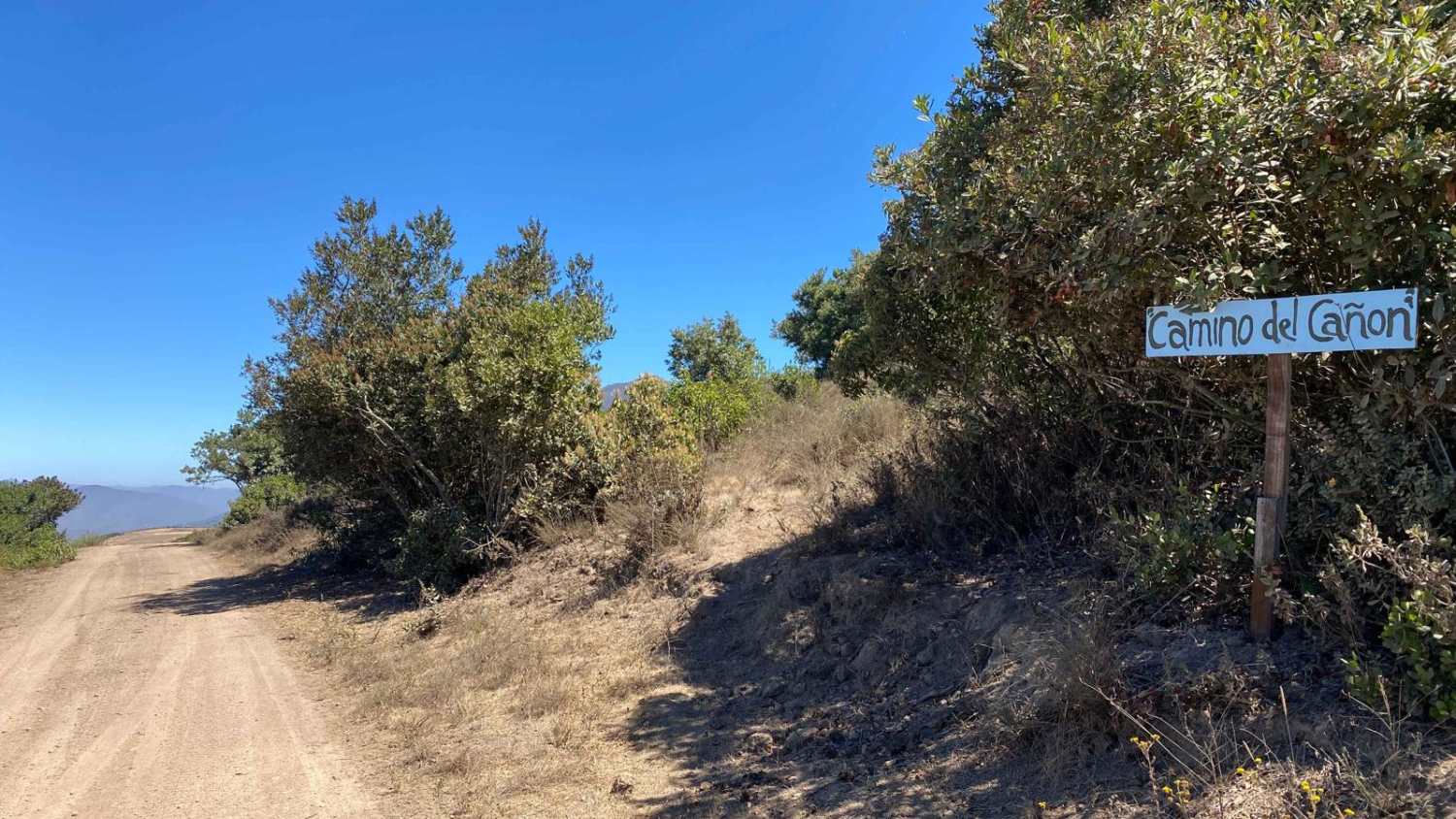
Camino del Canon
Total Kilometers
10.2
Technical Rating
Best Time
Spring, Summer, Winter, Fall
Trail Type
Full-Width Road
Accessible By
Trail Overview
Starting at an elevation of approximately 1,200 feet, this canyon road offers a steep and scenic descent over the initial 2.5 miles until you reach sea level. The journey begins under a canopy of trees, gradually transitioning into sharp curves that reveal breathtaking ocean views as you wind your way downward. Upon reaching the bottom, you have a choice: if you're in a hurry to return to Ensenada, you can take the paved road for the quickest route south. Alternatively, continue on the dirt trail after a brief stretch of pavement, where the road weaves through rural areas and diverse farms, allowing you to bypass the busy intersections and traffic of Maneadero. As the dirt trail concludes, you'll find multiple routes leading back to the main highway.
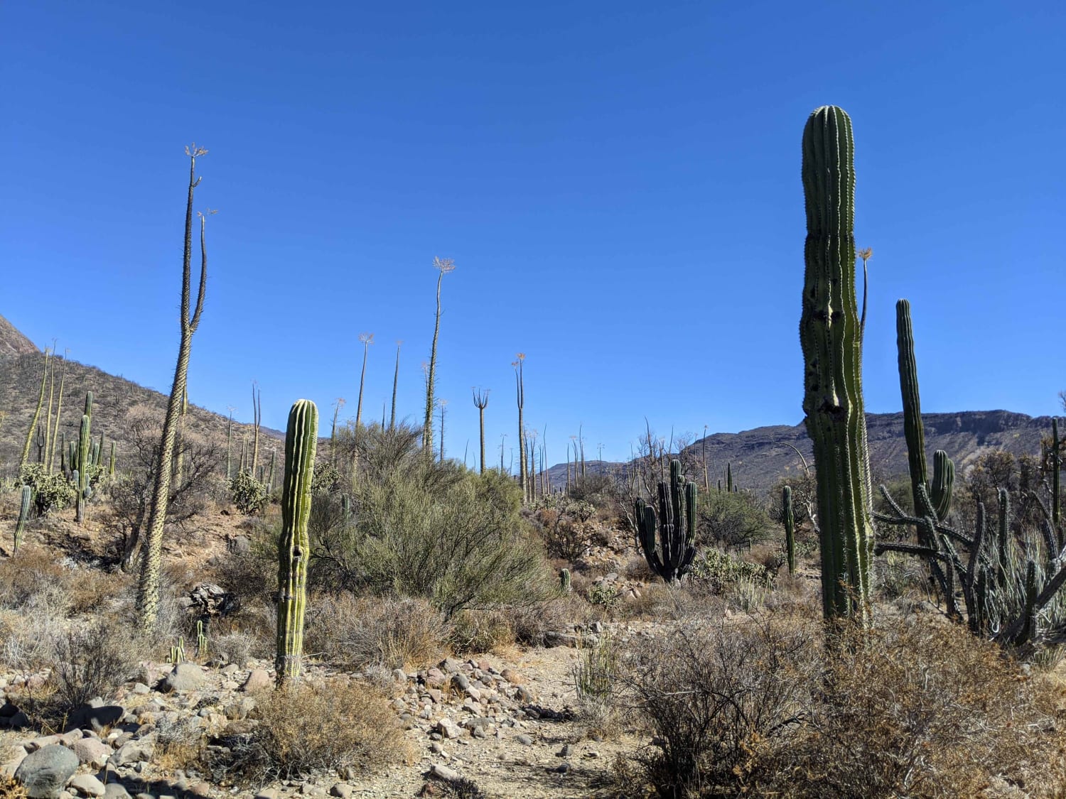
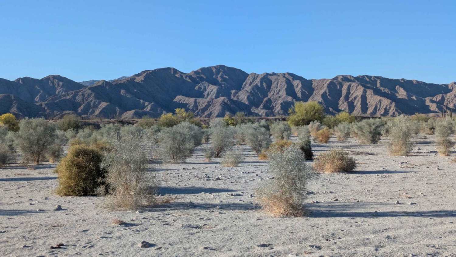
Photos of Camino del Canon

Difficulty
This is an easy route accessible by any high clearance vehicle. There are very steep sections so choose to take the trail from the top down if your vehicle will have difficulties with steep dirt grades and definitely avoid this route if you have any concerns about brakes.
Status Reports
Camino del Canon can be accessed by the following ride types:
- High-Clearance 4x4
- SUV
- SxS (60")
- ATV (50")
- Dirt Bike
Camino del Canon Map
Popular Trails
Mision San Borja

Pabellon Crossover

Mesa Colorado to El Hongo
Octillo y Cacti Wash
The onX Offroad Difference
onX Offroad combines trail photos, descriptions, difficulty ratings, width restrictions, seasonality, and more in a user-friendly interface. Available on all devices, with offline access and full compatibility with CarPlay and Android Auto. Discover what you’re missing today!