El Compadre to Control Tower
Total Kilometers
10.2
Elevation
319.31 m
Duration
0.75 Hours
Technical Rating
Best Time
Spring, Summer, Fall, Winter
Trail Overview
This trail extends from El Compadre Road to the Control Tower Trail near the control tower. Some sections on the El Compadre side are rough and rutted, necessitating four-wheel drive, but overall, it is a fairly easy trail. Along the way, you'll pass by 4 or 5 ranches. At one of the larger ranches, identifiable by its stop signs, there are a few dogs that might give chase if you're on a motorcycle, so exercise caution. The trail winds through oak trees, offering beautiful scenery with numerous birds and small animals, making for a very interesting and enjoyable drive.
Photos of El Compadre to Control Tower

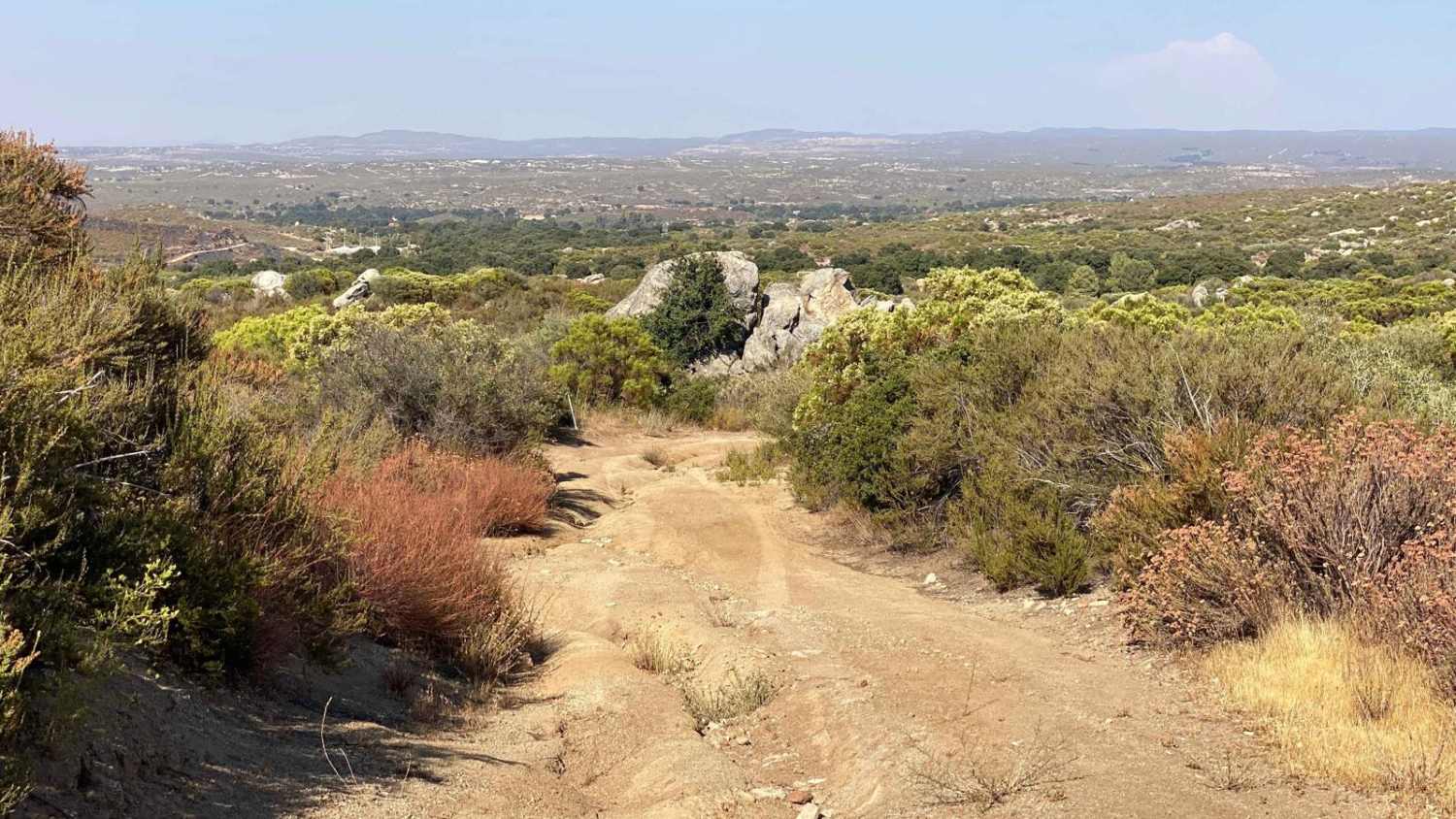
Difficulty
There is one difficult section from the El Compadre side that would be made much easier with 4WD. There is also a water crossing that was only 12" deep at time of mapping but please consider weather conditions on trails with water crossings.
Status Reports
Popular Trails

Road to Rancho Botella

Pine Forest Trail to Laguna Hanson Cerro San Pedro

Highway One to the Coastal Route
Punta Baja
The onX Offroad Difference
onX Offroad combines trail photos, descriptions, difficulty ratings, width restrictions, seasonality, and more in a user-friendly interface. Available on all devices, with offline access and full compatibility with CarPlay and Android Auto. Discover what you’re missing today!