El Marmolito
Total Kilometers
45.2
Technical Rating
Best Time
Spring, Fall, Winter
Trail Type
High-Clearance 4x4 Trail
Accessible By
Trail Overview
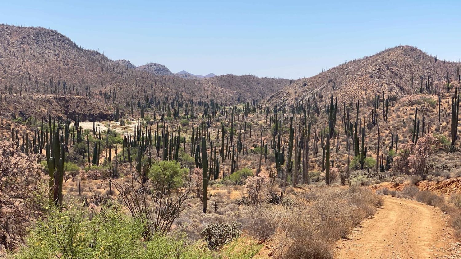
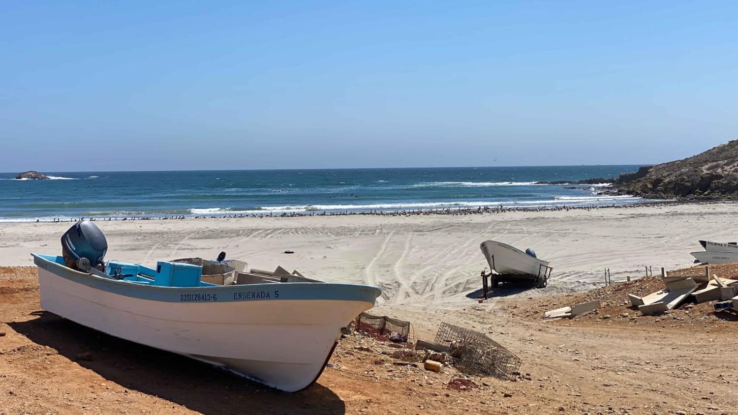
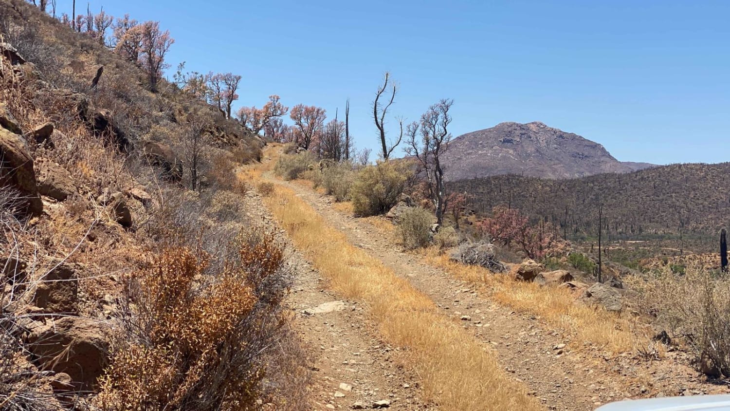
The starting point of this trail is Mina Marmolita, where the Enchanted Valley trail concludes. It's crucial to note that what lies ahead is considerably more challenging and remote compared to the terrain you have already traversed. Solo travel is not advised. The initial stretch of the trail combines rocky and dirt surfaces as you ascend a narrow road on the valley's side. Gradually, the terrain transitions from dirt and rock to solid rock, requiring careful maneuvering to prevent tire damage. Throughout the trail, you will encounter a few small canyons that you'll descend into and ascend from, featuring narrow roads and sections where precise tire placement and awareness of the passenger side's vertical exposure are necessary. One of the final canyons includes a steep chute of loose rocks. Following the rock chute, the road transforms into several miles of rocky terrain before finally transitioning into a smooth ride through the wash during the last three miles, leading you to the fishing village of San Jose del Faro. It's highly likely that you won't come across any signs of people or other vehicles along this route. Depending on your driving skills and the vehicle you've chosen, it may be necessary to camp overnight before reaching the coast. It is recommended to carry extra fuel, as even though this section is less than 30 miles in length, careful navigation over rocky sections significantly prolongs the journey. Furthermore, there are no advertised fuel stations at the destination or within a two-hour drive in either direction upon reaching the freeway.
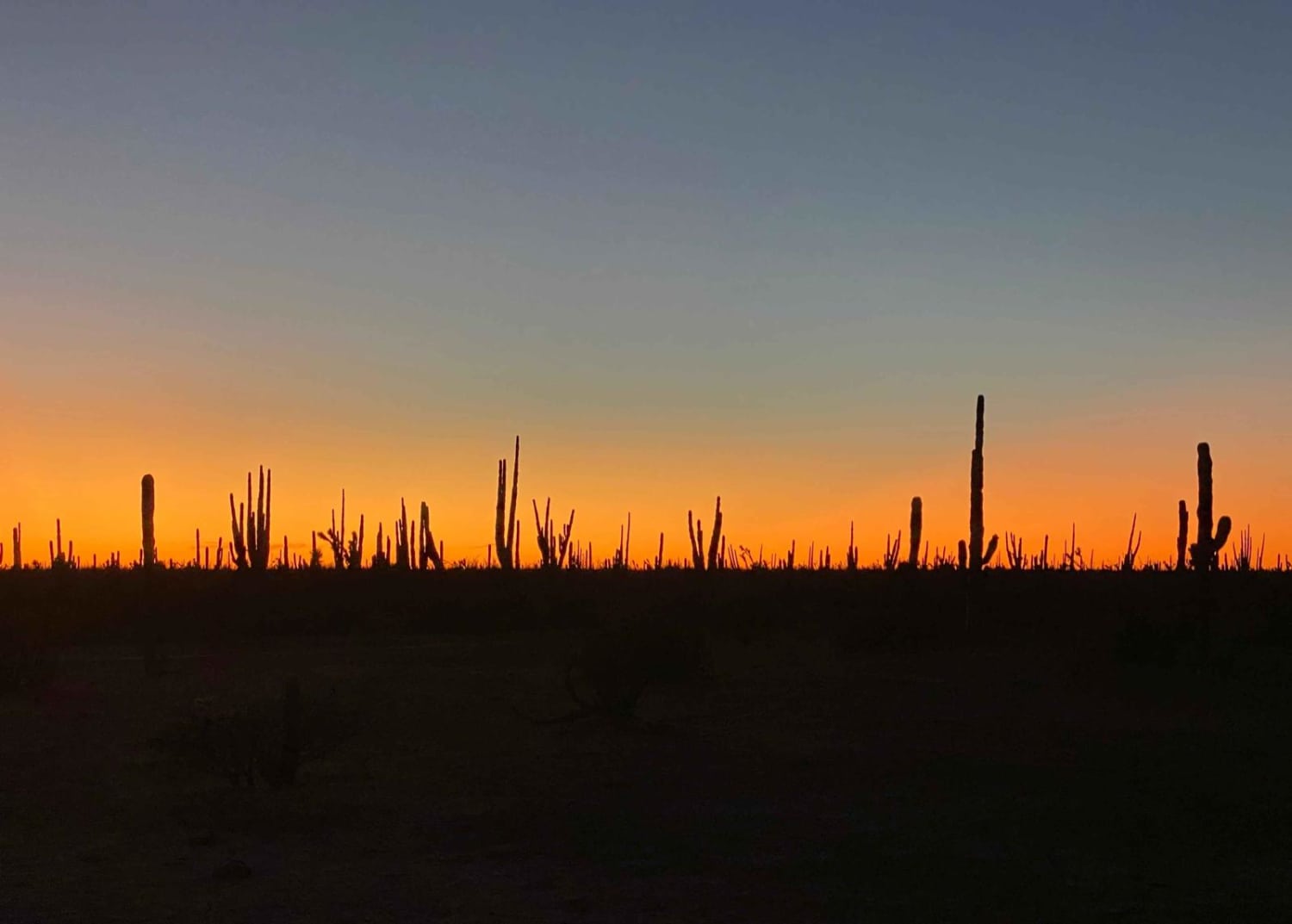
Photos of El Marmolito
Difficulty
The challenge of this trail extends beyond the terrain--it lies in its remote location. Solo travel is strongly discouraged, and it is highly recommended to carry additional water and supplies. Adequate preparation for self-recovery and the possibility of tire damage is essential. The most demanding aspect of this trail is the presence of long stretches of rocky terrain, which will require more time and fuel than anticipated for covering the distance. Upon reaching the destination, there will still be approximately 50 miles of dirt road and a two-hour drive on the highway before reaching a fuel station. It's important to note that heavy or recent rainfall can render several sections of the trail impassable.
Status Reports
El Marmolito can be accessed by the following ride types:
- High-Clearance 4x4
- SxS (60")
- ATV (50")
- Dirt Bike
El Marmolito Map
Popular Trails

Mountains of Vicente Guerrero

Bahia Soledad

Enchanted Valley to Mina Marmolito

Ruta El Arco
The onX Offroad Difference
onX Offroad combines trail photos, descriptions, difficulty ratings, width restrictions, seasonality, and more in a user-friendly interface. Available on all devices, with offline access and full compatibility with CarPlay and Android Auto. Discover what you’re missing today!

