Enchanted Valley to Mina Marmolito
Total Kilometers
17.5
Technical Rating
Best Time
Spring, Summer, Winter
Trail Type
High-Clearance 4x4 Trail
Accessible By
Trail Overview
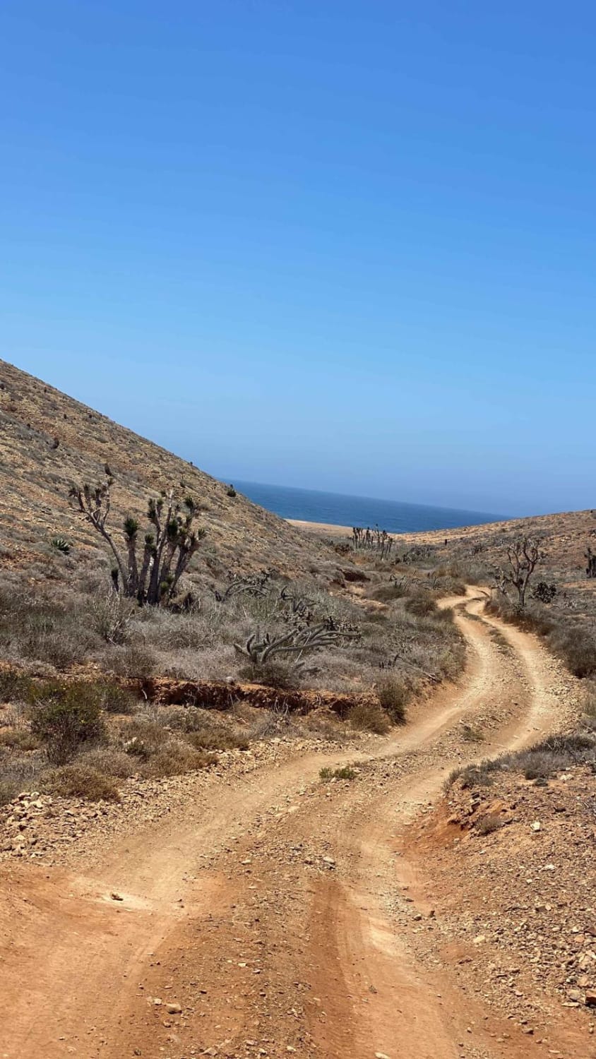
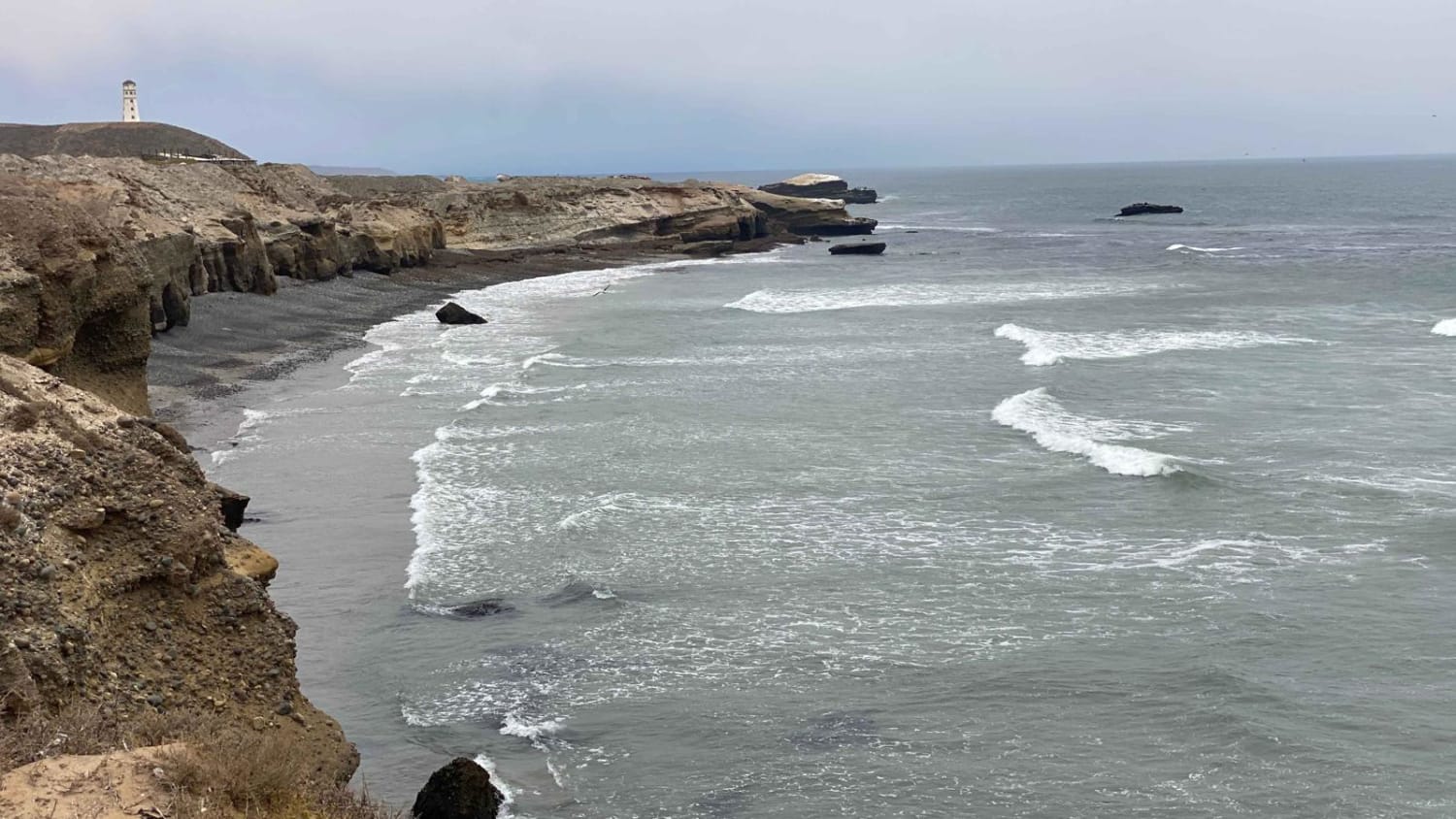
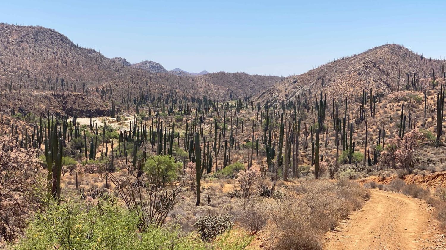
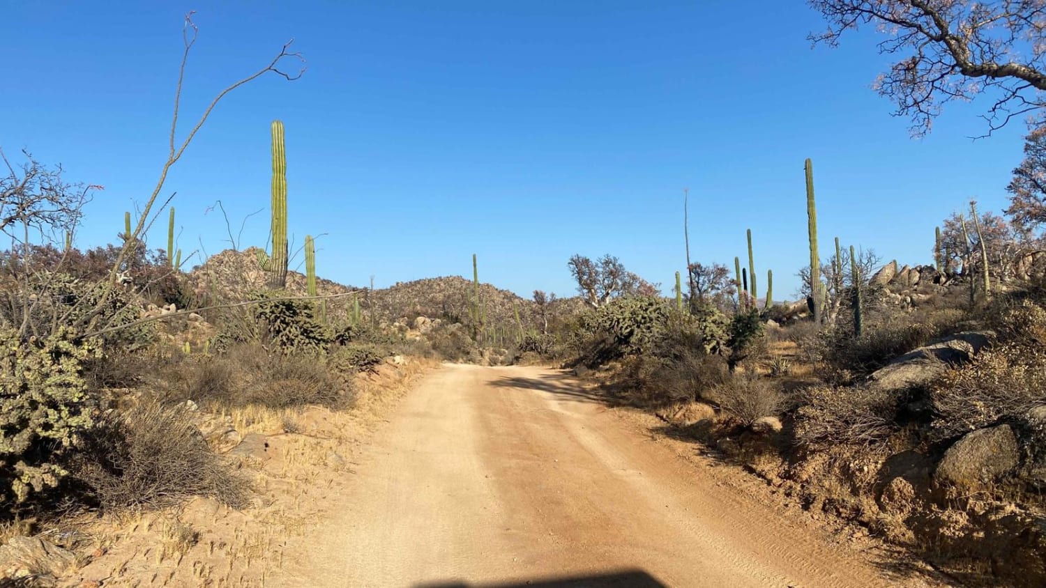
This trail offers a captivating experience as you journey through an impressive Cardon forest, making it likely the most remarkable sight of its kind. Some Cardon cacti reach over 40 feet in height, leaving a lasting impression. The sheer abundance of these cacti creates a dense forest-like atmosphere, providing a truly unique encounter. Departing from the washboard trail leading to the San Jose Lighthouse, you'll transition to a smoother track with little or no traffic. The trail will guide you through three valleys and across sandy washes. The majority of the route is relatively easy for a high-clearance 4WD vehicle. However, two sandy sections may require deflating your tires for better traction, and one section is quite long but poses no issues with deflated tires and engaged 4WD. There are a few areas where you must navigate around large rocks to avoid potential damage to your vehicle's sidewalls or undercarriage. The trail concludes at Mina Marmolito, marked by a chained gate. Beyond this point, a more challenging and remote trail awaits, but it is not recommended for solo exploration. For further details, please refer to the El Marmolito Route Description. The listed time for this trail is an average for a one-way journey and largely depends on your vehicle and driving skills.
Photos of Enchanted Valley to Mina Marmolito
Difficulty
In order to navigate this trail successfully, you will encounter two wash crossings that necessitate engaging 4WD and reducing tire pressure. Additionally, there are two sections along the trail with substantial rocks and rain ruts, where careful navigation is required. However, under normal dry conditions, this trail is relatively straightforward. It is important to note that in Baja, as is often the case, rain or recent rainfall can significantly increase the difficulty level of the trail.
Enchanted Valley to Mina Marmolito can be accessed by the following ride types:
- High-Clearance 4x4
- SxS (60")
- ATV (50")
- Dirt Bike
Enchanted Valley to Mina Marmolito Map
Popular Trails

San Jose El Faro to Chapala Intermittent

Laguna Figueroa

El Rosario to Punta San Antonio

La Carrera De La Bobina Del Desierto
The onX Offroad Difference
onX Offroad combines trail photos, descriptions, difficulty ratings, width restrictions, seasonality, and more in a user-friendly interface. Available on all devices, with offline access and full compatibility with CarPlay and Android Auto. Discover what you’re missing today!

