Volcano Kenton Summit NE Route
Total Kilometers
5.6
Technical Rating
Best Time
Spring, Fall, Winter
Trail Type
Full-Width Road
Accessible By
Trail Overview
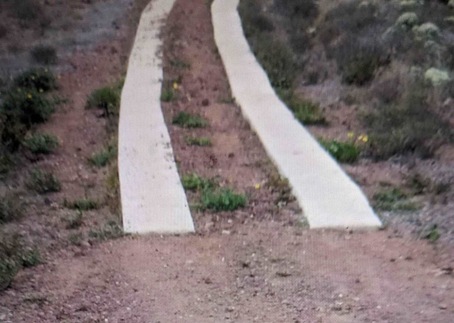
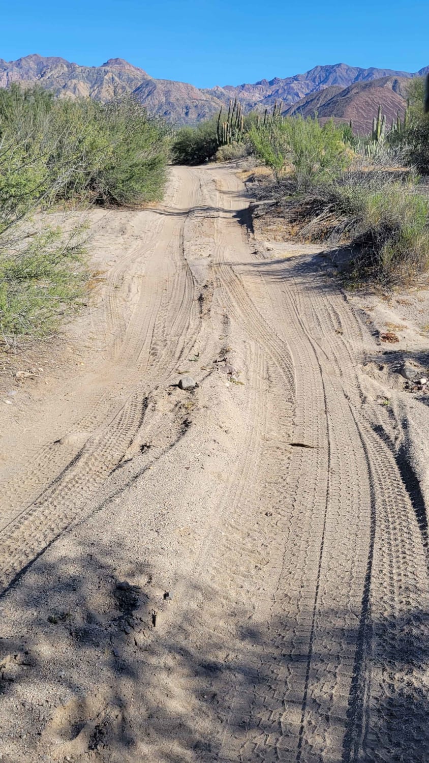
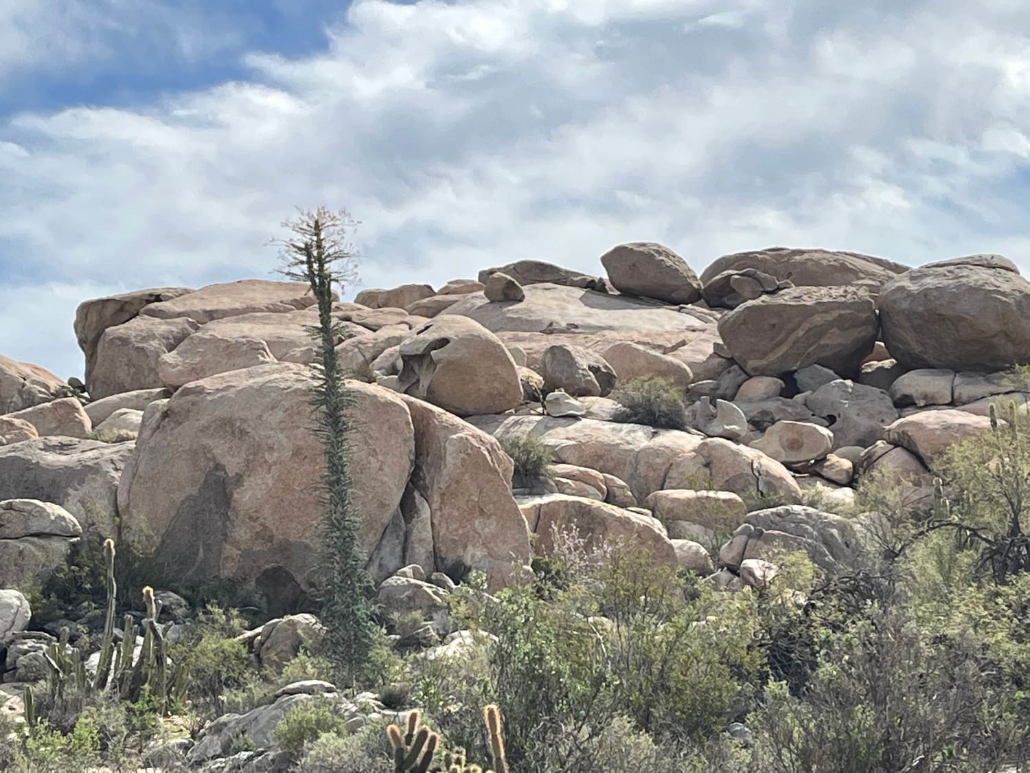
The trail is a relatively easy 3.5-mile climb, but you will encounter many rocks and loose rocks throughout the trail. The trek goes from sea level up to 866 feet at the summit of Volcano Kenton. The steep charge to the summit is made easier with some cement two-track blocks. The view, which overlooks the bay and ocean, is stunning.
Photos of Volcano Kenton Summit NE Route

Difficulty
The route encounters a few steep sections. Trailers are not recommended. Watch out for the unprotected cliff edge.
History
Kenton Volcano is one of the 11 late-Pleistocene pyroclastic cones and related lava flows in the San Quintin Volcanic Field on the northwest coast of Baja California. San Quintin rocks are similar to intraplate or oceanic island alkalic rocks and differ from other Baja alkalic volcanic suites. It is the only Quaternary volcanic field in Baja California where lower-crustal and upper-mantle xenoliths are found.
Status Reports
Volcano Kenton Summit NE Route can be accessed by the following ride types:
- High-Clearance 4x4
- SUV
- SxS (60")
- ATV (50")
- Dirt Bike
Volcano Kenton Summit NE Route Map
Popular Trails
Bahia de las Animas
Santo Tomas to Vicente Guerrero

Old Checkpoint Loop

Mountains Above Colonia Sante Fe
The onX Offroad Difference
onX Offroad combines trail photos, descriptions, difficulty ratings, width restrictions, seasonality, and more in a user-friendly interface. Available on all devices, with offline access and full compatibility with CarPlay and Android Auto. Discover what you’re missing today!