Poplar Springs Trail
Total Miles
5.3
Technical Rating
Best Time
Fall, Winter, Spring, Summer
Trail Type
Full-Width Road
Accessible By
Trail Overview
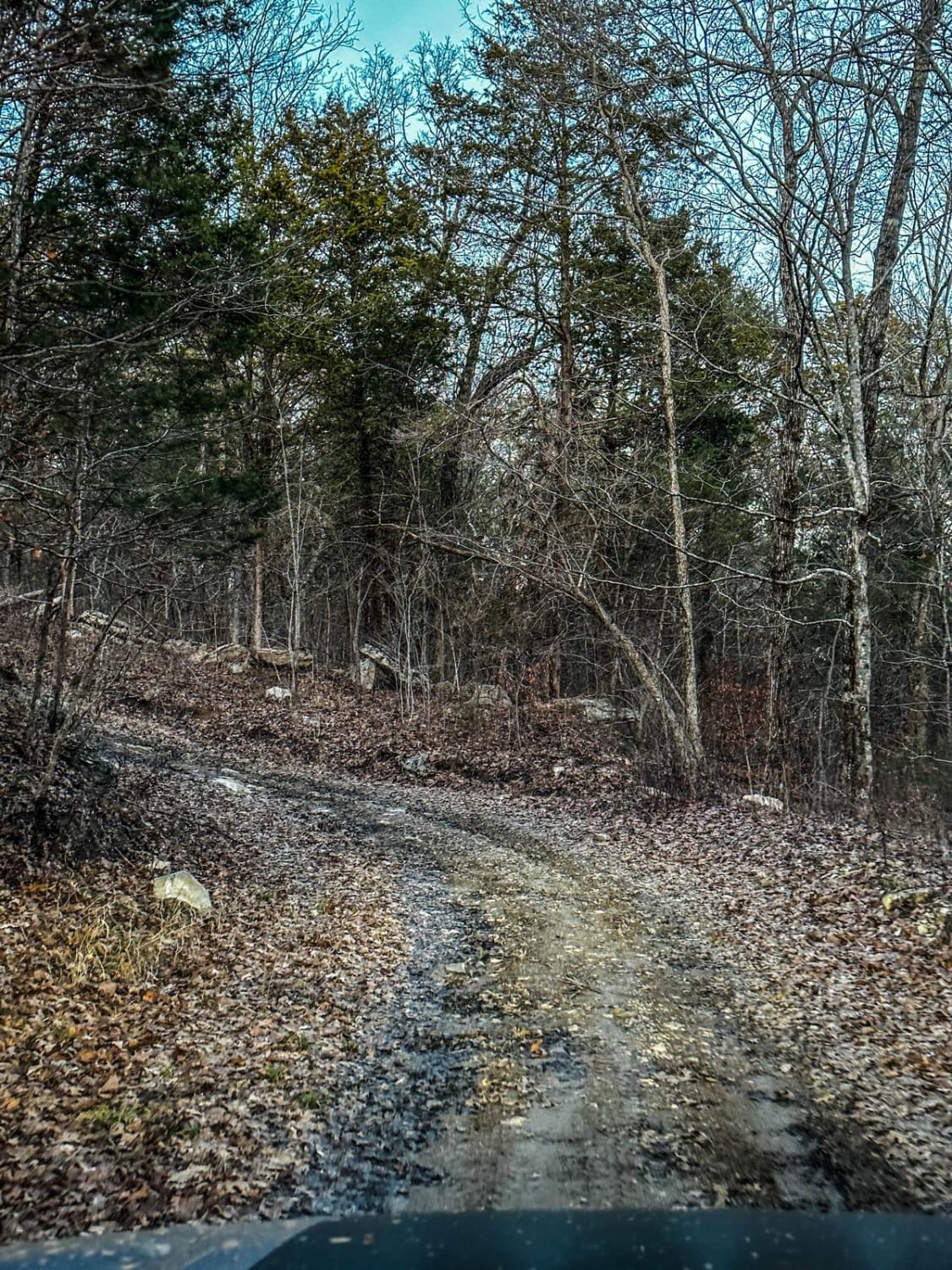
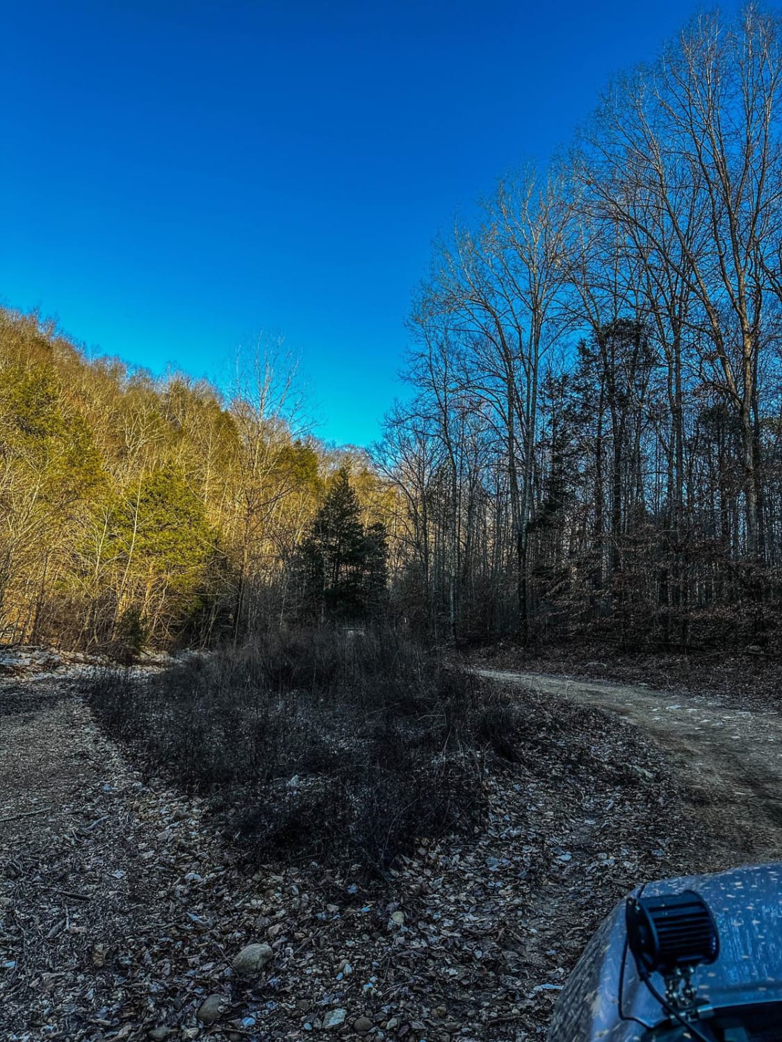
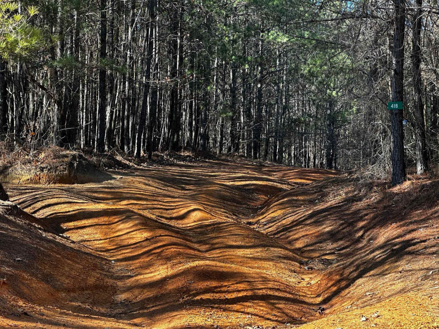
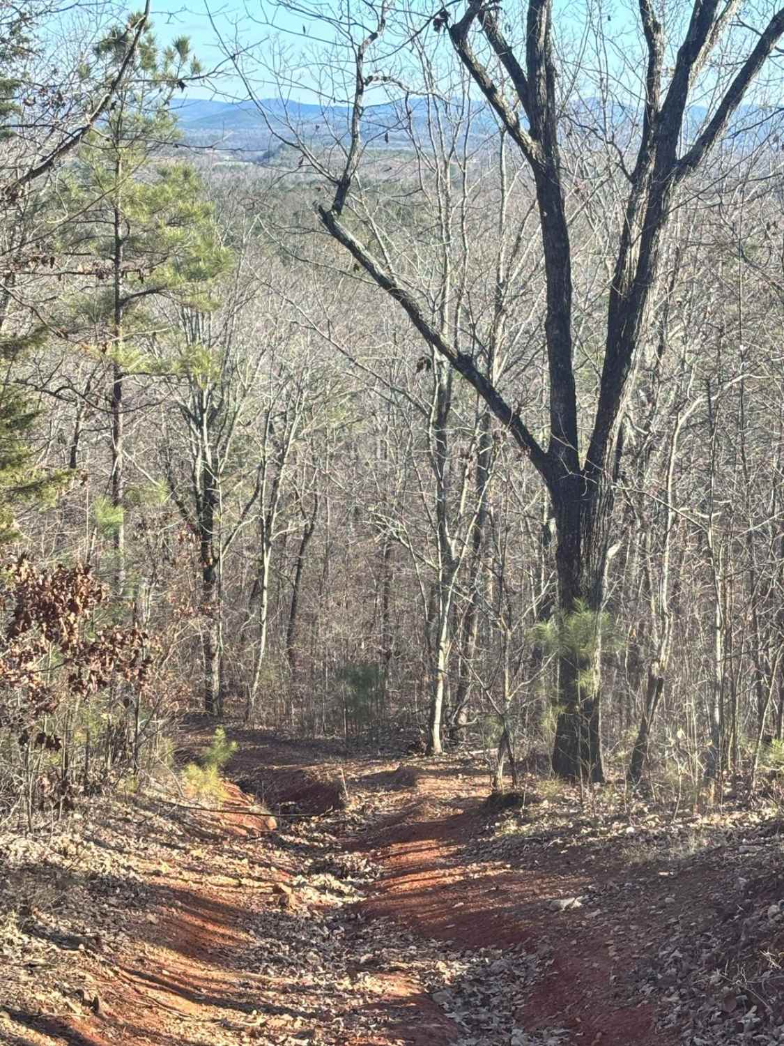
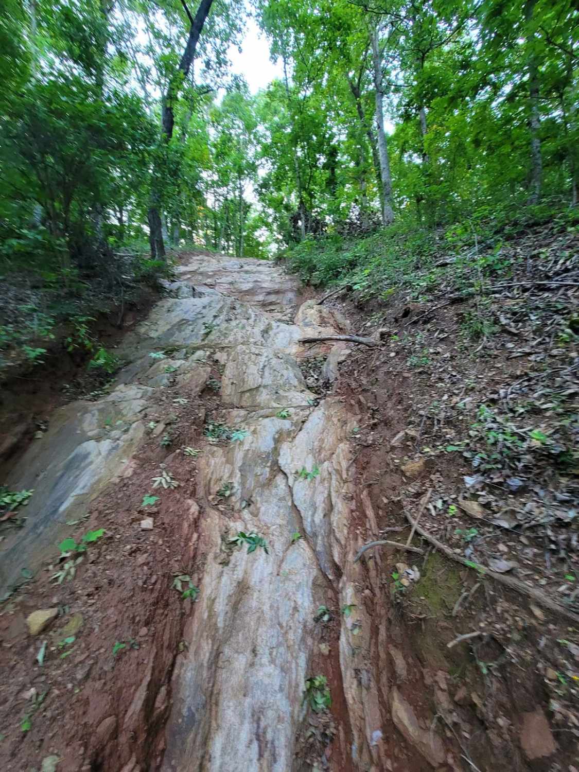
This trail can be run in either direction but is best run from North to South. Starting at the North part you will head South. The trail is mostly down the mountain. There are areas that have large mud areas that will be slick and can be deep depending on the time of year. A few areas have some drop downs of around one foot but are easy to traverse. There is one creek crossing during times of rain and the creek bottom can be slick due to silt settling on the solid rock bottom. There are many offshoots that can be taken but dead end in areas to camp or hunt. The South end comes out at a parking area and main road that can be used to park trucks and trailers to ride SxS but only during hunting season.
Photos of Poplar Springs Trail
Difficulty
This is an overall easy trail but some areas can be a little more difficult if there has been heavy rain. This trail has many areas that can be muddy but momentum and good tires will have not issues.
Status Reports
Popular Trails

Blue Polaris Outfitter Trail
Still Hill
The onX Offroad Difference
onX Offroad combines trail photos, descriptions, difficulty ratings, width restrictions, seasonality, and more in a user-friendly interface. Available on all devices, with offline access and full compatibility with CarPlay and Android Auto. Discover what you’re missing today!
