Scenic Overlook Bypass
Total Miles
0.1
Technical Rating
Best Time
Spring, Summer, Winter
Trail Type
Full-Width Road
Accessible By
Trail Overview
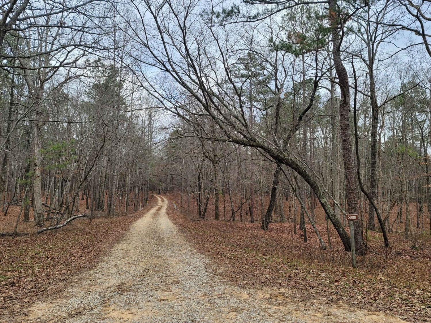
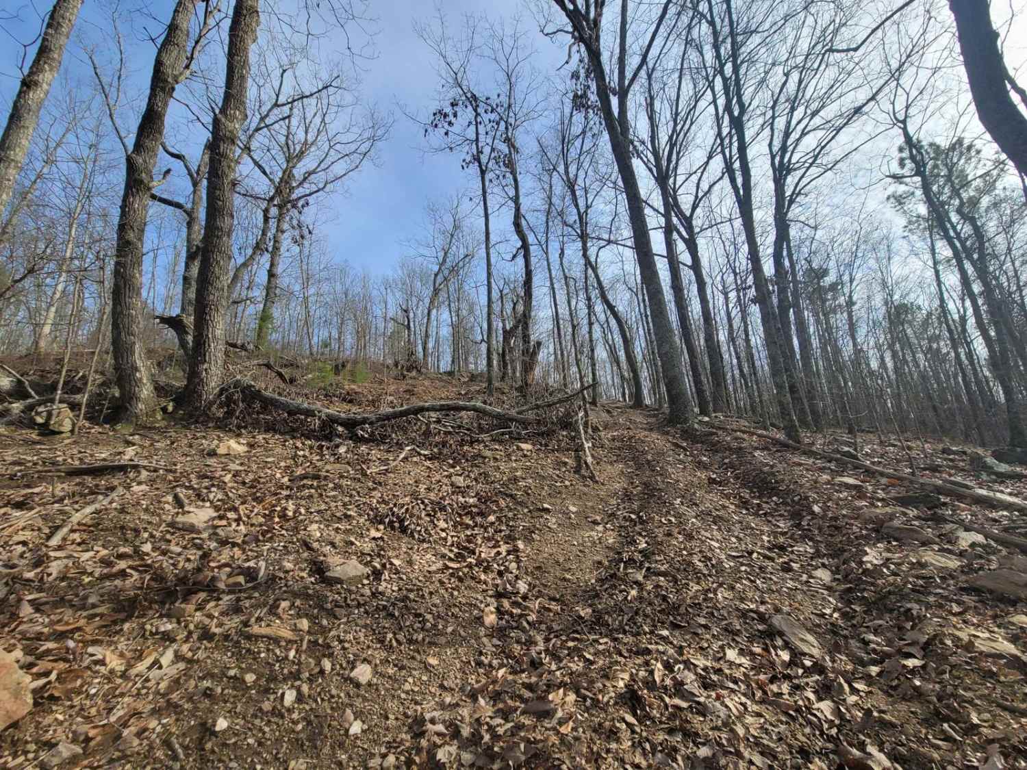
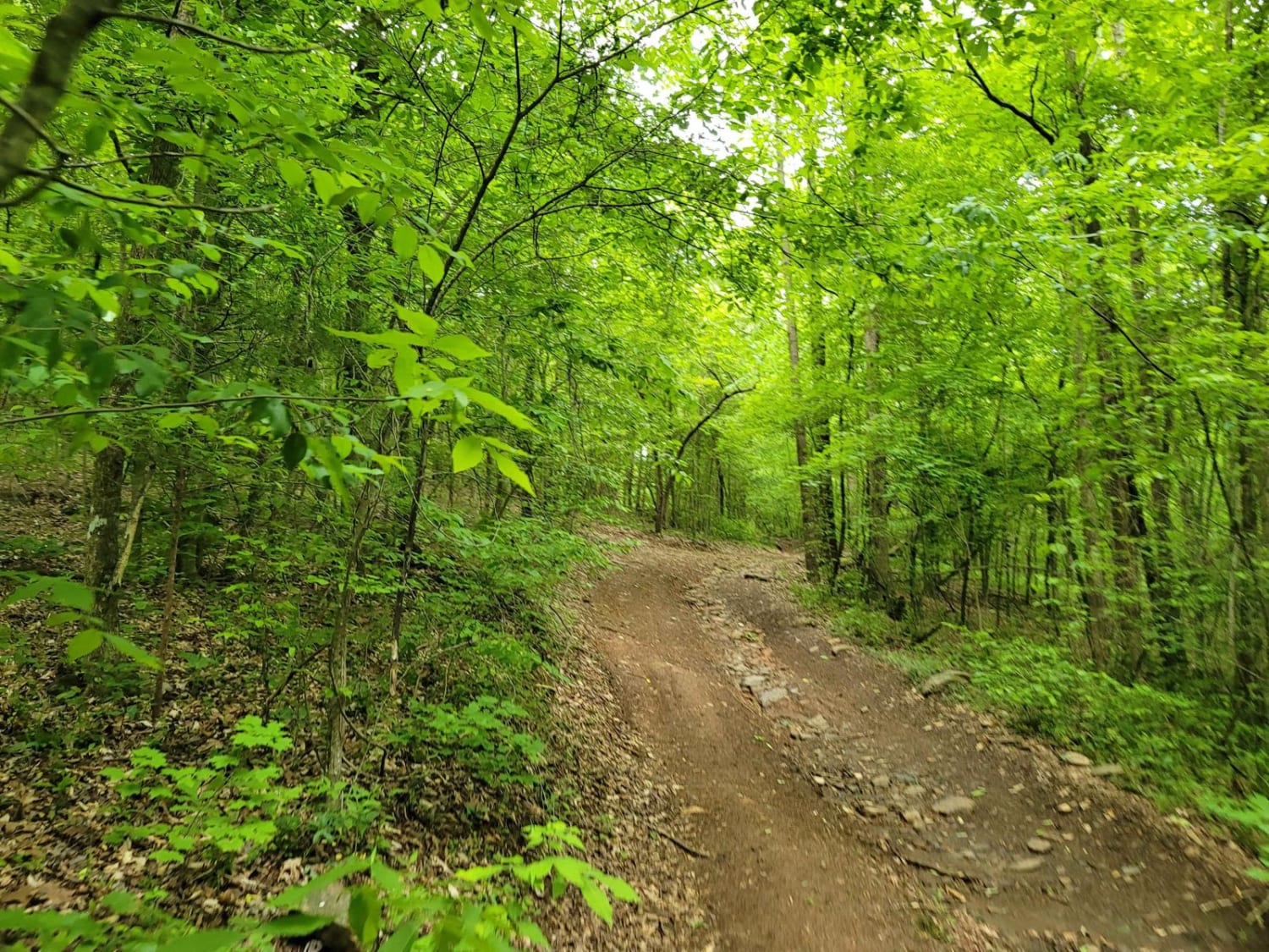
Scenic Overlook Bypass is the access trail that takes you to the more difficult Scenic Overlook trail, which is much harder. This route loops around the side of the mountain and also shares the start of Hammer Down. Scenic Overlook Bypass is actually longer than Scenic Bypass. This trail is flat with a slightly rutted slope away from the side of the mountain and is camouflaged with leaves and topsoil that washed down the mountain, so the actual trail is sometimes hard to find. Once at the top, the view offers a treetop canopy with a sunset backdrop overlooking rural Clay County.
Photos of Scenic Overlook Bypass
Difficulty
While this trail is mild overall, since it is not graded flat around the mountain, it does have a higher possibility of sliding off the side of the mountain. As you get closer to the top, the rock formations start becoming more prevalent and are around 15 inches.
Status Reports
Scenic Overlook Bypass can be accessed by the following ride types:
- SUV
Scenic Overlook Bypass Map
Popular Trails

Rock Creek

USFSR #500R - Raven Rock
The onX Offroad Difference
onX Offroad combines trail photos, descriptions, difficulty ratings, width restrictions, seasonality, and more in a user-friendly interface. Available on all devices, with offline access and full compatibility with CarPlay and Android Auto. Discover what you’re missing today!


