Off-Road Trails in Alabama

topo background

Discover off-road trails in Alabama

Trail Length
Technical Rating
Best Time of Year
Sort By
Learn more about #1 Big Hill
#1 Big Hill near undefined

#1 Big Hill

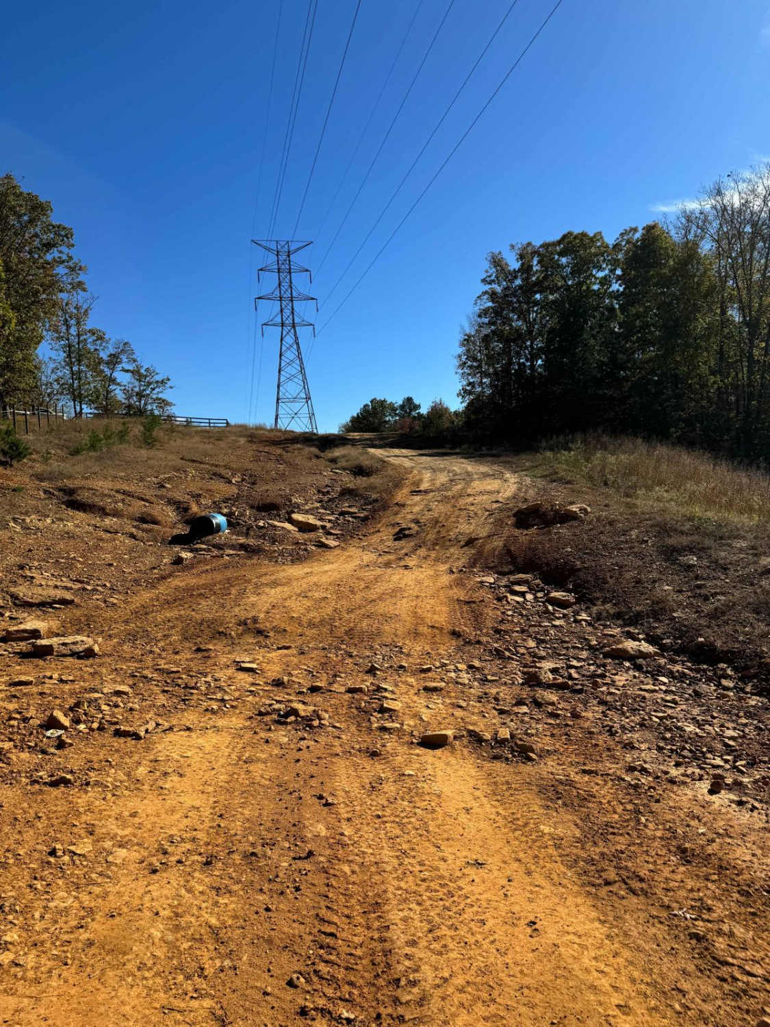
This trail takes you from the main parking lot down into the bigger west side of the park. At the end of #1 Big Hill, you have a great photo op with the mountains behind you. The road is very short and is used as a connector from the parking lot to the trails....
Learn more about #1 Big Hill
Total Miles
0.2
Tech Rating
3Easy
Best Time
Fall
Learn more about #30 Slick Hill
#30 Slick Hill near undefined

#30 Slick Hill

This trail is an easy trail on the south border of the park. This trail features one obstacle which is the "slick hill" which is just a steep part of the road that can get muddy and slick after rain. There are quite a few trails that branch off of this one so make sure to follow the signs. It is wid...
Learn more about #30 Slick Hill
Total Miles
0.4
Tech Rating
3Easy
Best Time
Fall
Learn more about #61 Bridge Street
#61 Bridge Street near undefined

#61 Bridge Street

Bridge Street Is a short connector trail in between trails #91 and #92, it is mostly flat and wooded with dirt and pine straw covering the ground. This trail is infrequently used so it can sometimes be grown up and rutted out. The trail itself does not have any major obstacles on it....
Learn more about #61 Bridge Street
Total Miles
0
Tech Rating
2Easy
Best Time
Fall
Learn more about #65 Bacon
#65 Bacon near undefined

#65 Bacon

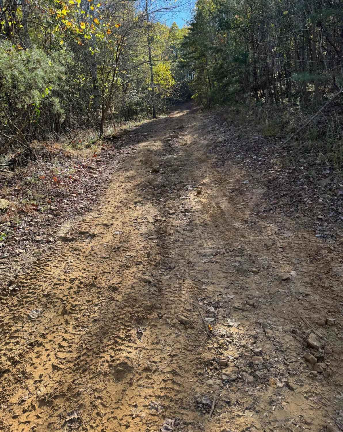
Bacon starts as a pretty steep hill of dirt and loose rock and after that, it is a grated dirt road with no obstacles. This trail follows a barbed wire fence on the south boundary of the park so do not go off the trail at all to the south side. This trail is forested and a fairly short ride....
Learn more about #65 Bacon
Total Miles
0.3
Tech Rating
3Easy
Best Time
Fall
Learn more about #80 Road to Primitive Camping
#80 Road to Primitive Camping near undefined

#80 Road to Primitive Camping

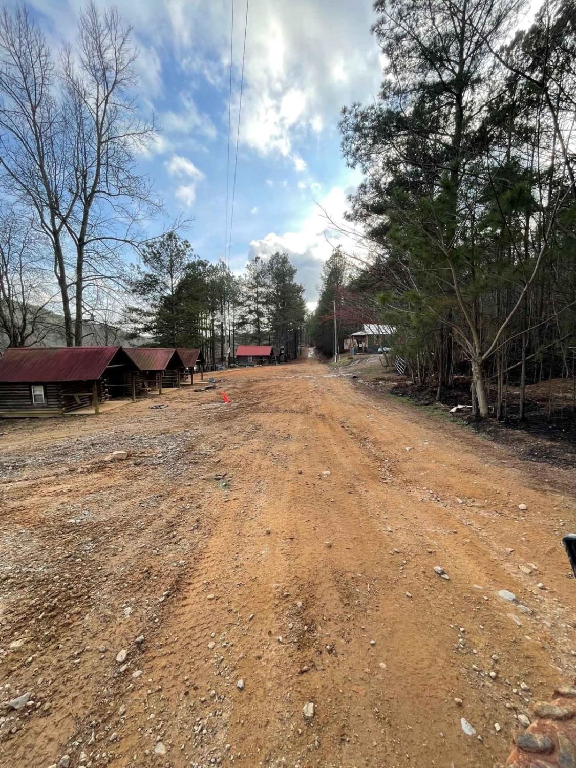
This road runs right in front of the cabins in the main parking area. Right past the cabin, you will see the area for primitive camping. This road also leads to the Polaris Outfitter Trail which is the longest and most popular trail in the park. This trail is very short and is really just used as a ...
Learn more about #80 Road to Primitive Camping
Total Miles
0.4
Tech Rating
2Easy
Best Time
Fall
Learn more about #81 Ridgeline Trail
#81 Ridgeline Trail near undefined

#81 Ridgeline Trail

This Trail is a connector trail that connects two parts of the outfitter trail. This trail follows the ridgeline of Hawkpride Mountain, so it is very flat and forested. The entrance is marked by two big tractor tires sitting on each side of the road. The trail is short and easy to follow since there...
Learn more about #81 Ridgeline Trail
Total Miles
0.2
Tech Rating
3Easy
Best Time
Fall
Learn more about #88 John's Way
#88 John's Way near undefined

#88 John's Way

This trail starts at the red barn right off the main road. This trail is very popular since it is an easy way to go from one side of the park to another. The trail ends at trail #65 Bacon which is a pretty steep hill that is quite hard to do in the wet. If you do not want to attempt #65 there are ma...
Learn more about #88 John's Way
Total Miles
0.9
Tech Rating
2Easy
Best Time
Fall
Learn more about #94 Riner's Run
#94 Riner's Run near undefined

#94 Riner's Run

Riner's Run is a rutted and rocky trail on the west side of the park. It is quite short but some spots can get the adrenaline going depending on what kind of vehicle you're in. Between ruts and rocks, there is something for everyone on this trail. This trail is wide enough in most spots to let vehic...
Learn more about #94 Riner's Run
Total Miles
0.3
Tech Rating
4Moderate
Best Time
Fall
Learn more about 1
1 near undefined

1

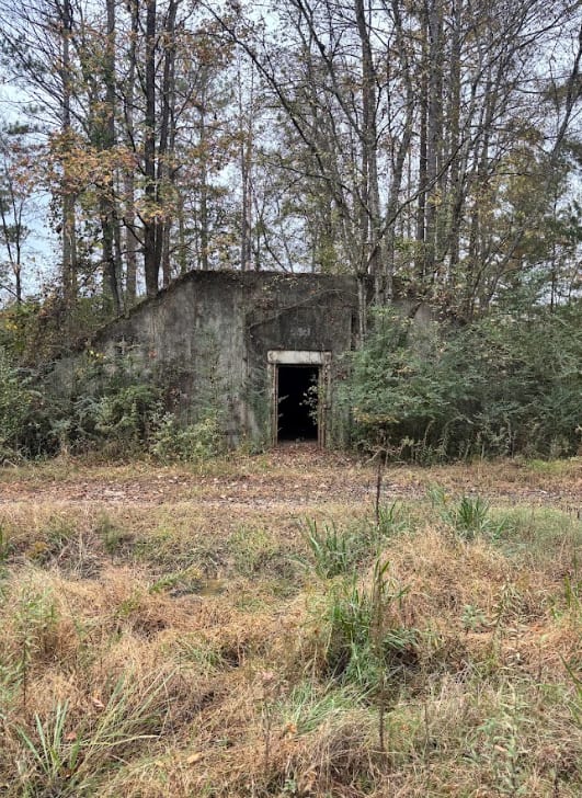
This main road houses two rental camp spots and rented bunkers along its path. It connects the front of the park, Trail 20, to Trail 18, which goes all the way around the grid. This trail also takes you to Clay Hill, and trail 31. This trail is more dirt than it is gravel, and only houses two bunker...
Learn more about 1
Total Miles
0.6
Tech Rating
1Easy
Best Time
Spring, Summer, Fall, Winter
Learn more about 10
10 near undefined

10

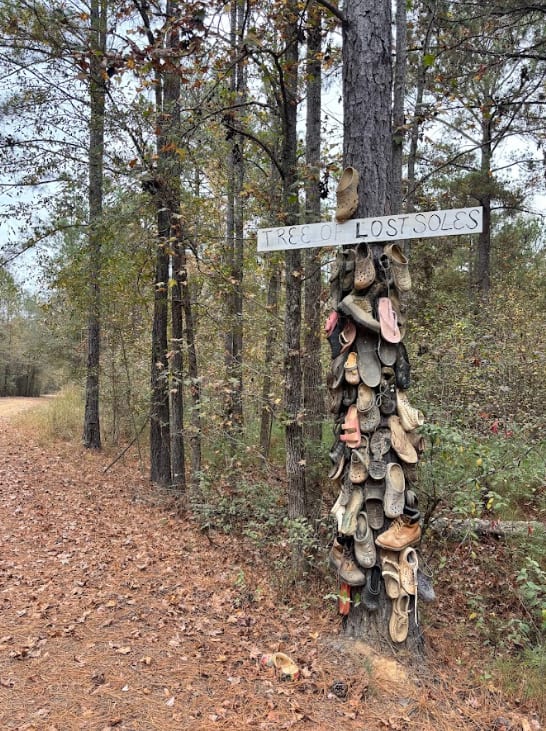
This is a main gravel road in the grid-connected Trail 20 (the front of the grid), to Trail 18, (the back of the grid). Trail 19 intersects at the halfway point. Bunkers/Rental spots are located along the route. Trails 54 and 52 can also be accessed on this road. You can also find the tree of lost s...
Learn more about 10
Total Miles
1.1
Tech Rating
1Easy
Best Time
Spring, Summer, Winter, Fall
Learn more about 11A
11A near undefined

11A

This is a connector trail from Trail 18 to Trail 11. Two bunkers / rental campsites are located on this short trail. Trail 11, which this connects to, will take you to the very front of the park, as well as takes you all the way to the very back of the park to the start of trail 30....
Learn more about 11A
Total Miles
0.1
Tech Rating
1Easy
Best Time
Summer, Fall, Winter
Learn more about 12
12 near undefined

12

The main connecting trail at Indian Mountain ATV park links to Trail 1 and runs uphill, passing by all the cabins. It's an easy trail suitable for any vehicle in 2WD. As you progress, you might encounter a few mud puddles in some areas. The trail accommodates two-way traffic, so be sure to watch out...
Learn more about 12
Total Miles
2.4
Tech Rating
1Easy
Best Time
Spring, Summer, Fall, Winter
Learn more about 13
13 near undefined

13

This main road houses several rental camp spots and rented bunkers along its path. It connects the front of the park, Trail 20, to the back of the grid, Trail 18. It also intersects with Trail 19 at around the midway point....
Learn more about 13
Total Miles
0.9
Tech Rating
1Easy
Best Time
Spring, Summer, Fall, Winter
Learn more about 14
14 near undefined

14

This main road houses several rental camp spots and rented bunkers along its path. It connects the front of the park, Trail 20, to the back of the grid, Trail 18. It also intersects with Trail 19 at around the midway point....
Learn more about 14
Total Miles
0.9
Tech Rating
1Easy
Best Time
Spring, Summer, Fall, Winter
Learn more about 15
15 near undefined

15

This main road houses several rental camp spots and rented bunkers along its path. It connects the front of the park, trail 20, to the back of the grid, trail 18. It also intersects with Trail 19 at around the midway point....
Learn more about 15
Total Miles
0.9
Tech Rating
1Easy
Best Time
Summer, Fall, Winter, Spring
Learn more about 16
16 near undefined

16

This is the main connecting trail that will take you from the dam and wind through the woods. You'll go past the entrance to Trail 6, Trail 15, and Foxes Hollow and end up at the powerlines, which is a very popular spot to hang out. The trail has a couple of small one-lane bridges to cross. ...
Learn more about 16
Total Miles
1.7
Tech Rating
3Easy
Best Time
Spring, Summer, Fall, Winter
Learn more about 17
17 near undefined

17

This is a short trail in the main grid with two rental bunkers located on it. It connects Trail 20, up a little into Trail 16. The trail also continues to an old exit to the base when it was active. It is closed off now and overgrown, but it does have several mud hole obstacles located on it....
Learn more about 17
Total Miles
0.6
Tech Rating
1Easy
Best Time
Spring, Fall, Summer, Winter
Learn more about 18
18 near undefined

18

This is a main road that goes around the whole outside of the grid. This trail connects you to all of the trails in the park. There is no difficulty on this route, but you do need to follow the speed limit posted, 15 miles per hour, because of safety and wild animals. There are a lot of intersection...
Learn more about 18
Total Miles
3.5
Tech Rating
1Easy
Best Time
Summer, Spring, Fall, Winter
Learn more about 18A
18A near undefined

18A

Trail 18 was an extremely muddy trail that rides on the opposite side of the fence along Trail 18 for a short way that connects Trail 47 to Trail 11. The mud holes along this trail are extremely deep. There are a couple of areas to go around one or two of them, but they are not wide enough for a ful...
Learn more about 18A
Total Miles
0.4
Tech Rating
9Difficult
Best Time
Spring, Summer, Fall, Winter
Learn more about 19
19 near undefined

19

Trail 19 connects the grid through the midway point of all of the main roads, from the east to the west of the park. This also passes by the concert area and mud zone, as well as the food vendors. There are some bunkers located on the east side of the grid, connected to this trail....
Learn more about 19
Total Miles
2
Tech Rating
1Easy
Best Time
Spring, Summer, Fall, Winter
Viewing 20 of 287

The onX Offroad Difference

onX Offroad combines trail photos, descriptions, difficulty ratings, width restrictions, seasonality, and more in a user-friendly interface. Available on all devices, with offline access and full compatibility with CarPlay and Android Auto. Discover what you’re missing today!