Cane Island
Total Miles
1.8
Technical Rating
Best Time
Spring, Summer, Fall, Winter
Trail Type
Full-Width Road
Accessible By
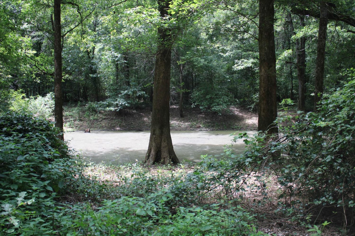
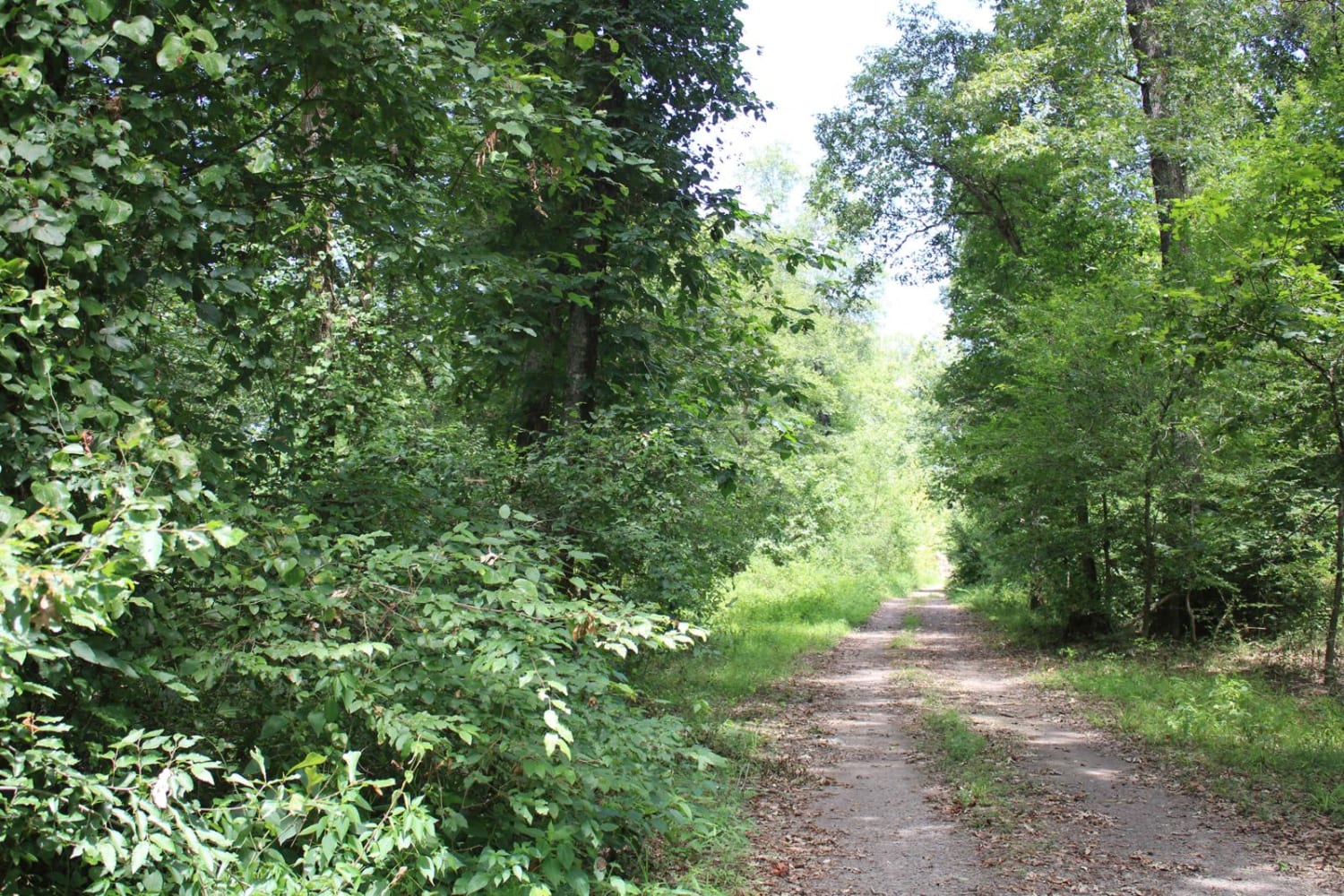
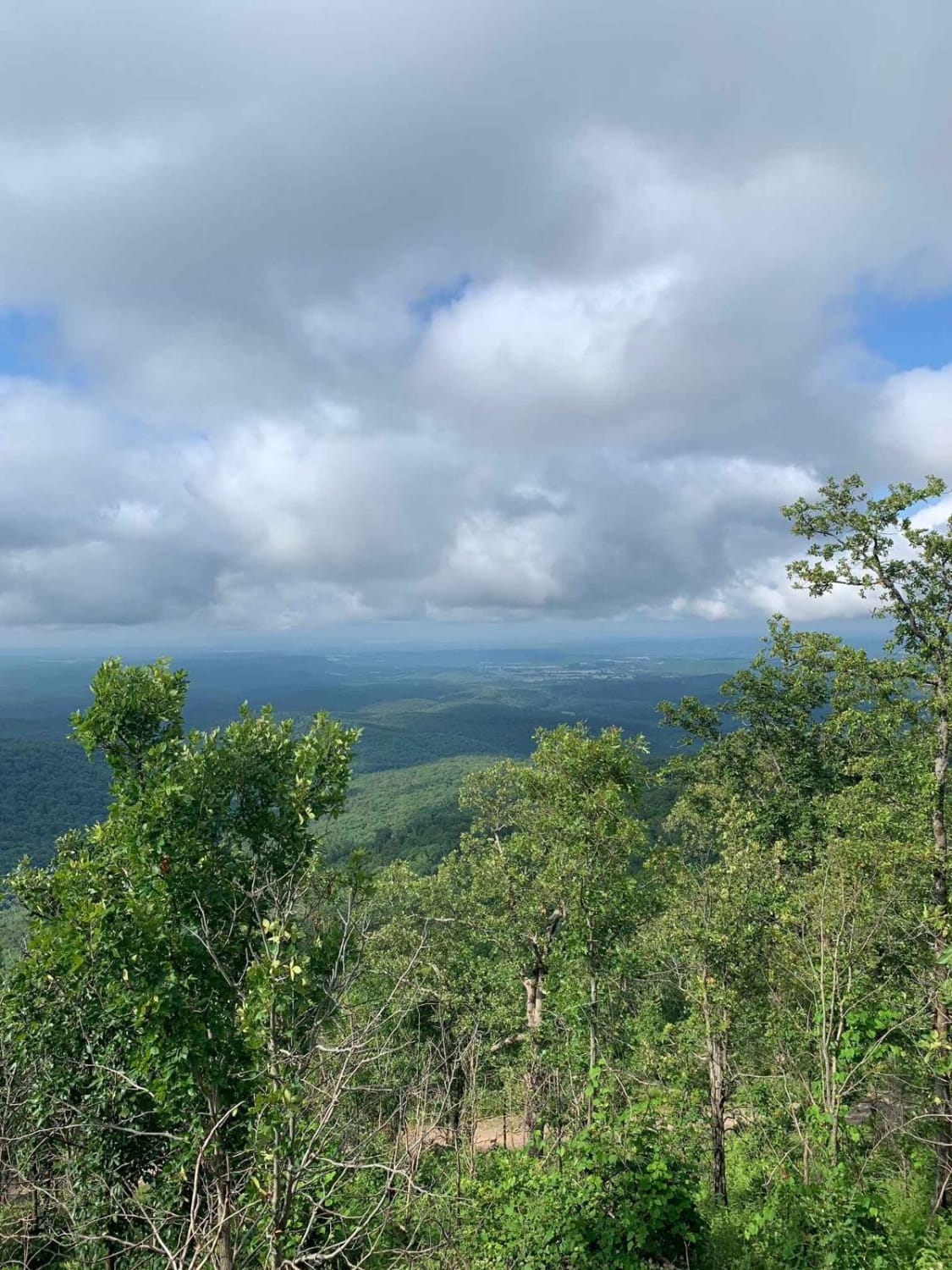
Trail Overview
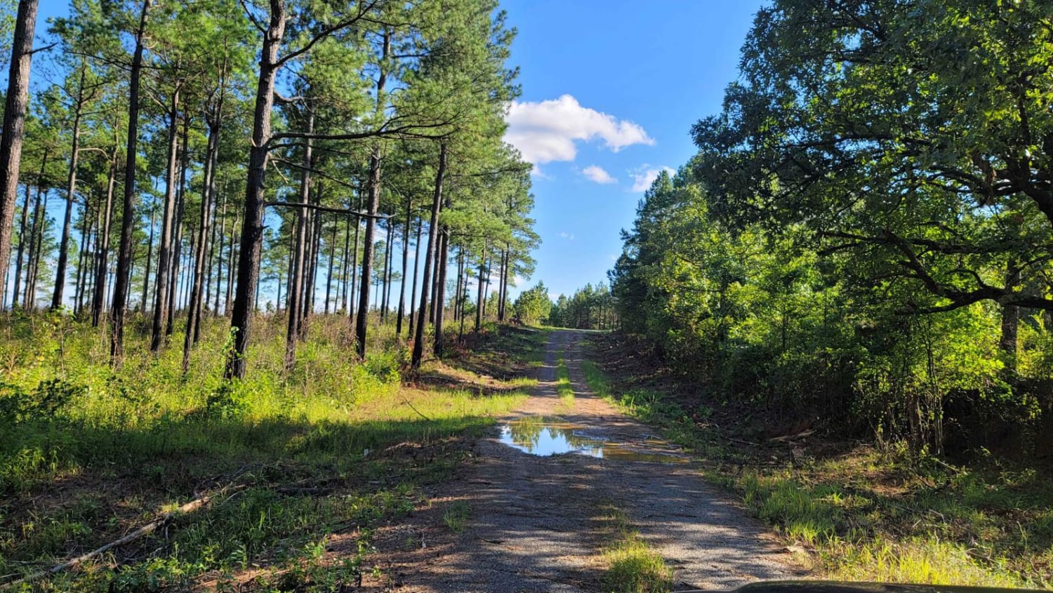
This gravel road enters The Petit Jean Wildlife Management Area from Highway 10. The WMA encompasses 15,502 acres approximately 12 miles south of Dardanelle. Petit Jean River Wildlife Management area is located about 8 miles north of Ola on Highway 7 North. The designated area can be accessed from several points. For a map of access points, visit http://www.AGFC.com and click on Resources, then Maps, and then AGFC Interactive Map.
Photos of Cane Island
Difficulty
This is a gravel road that is narrow. It can be dusty when the trail is dry.
Status Reports

Popular Trails
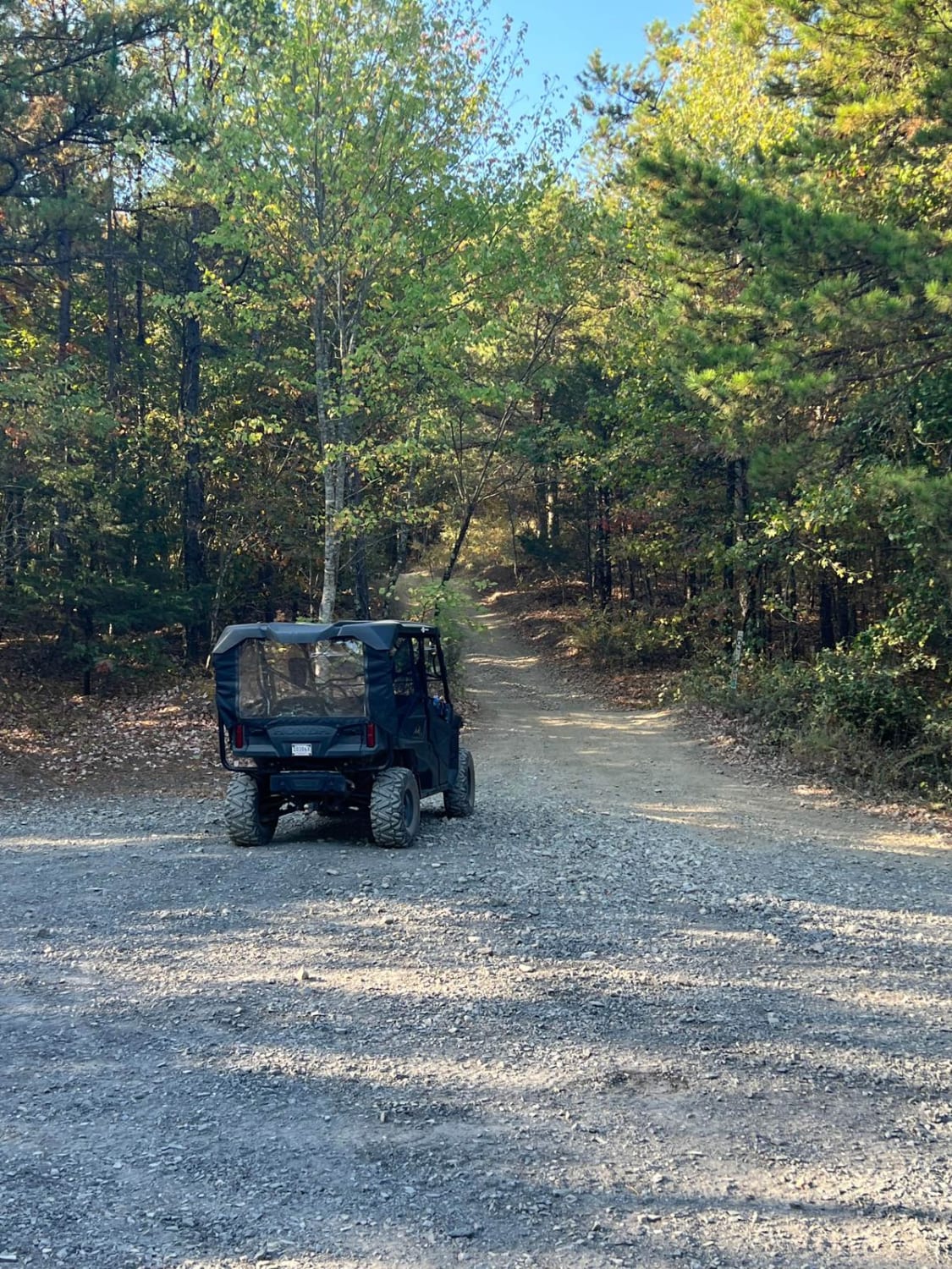
Forest Road - N09A
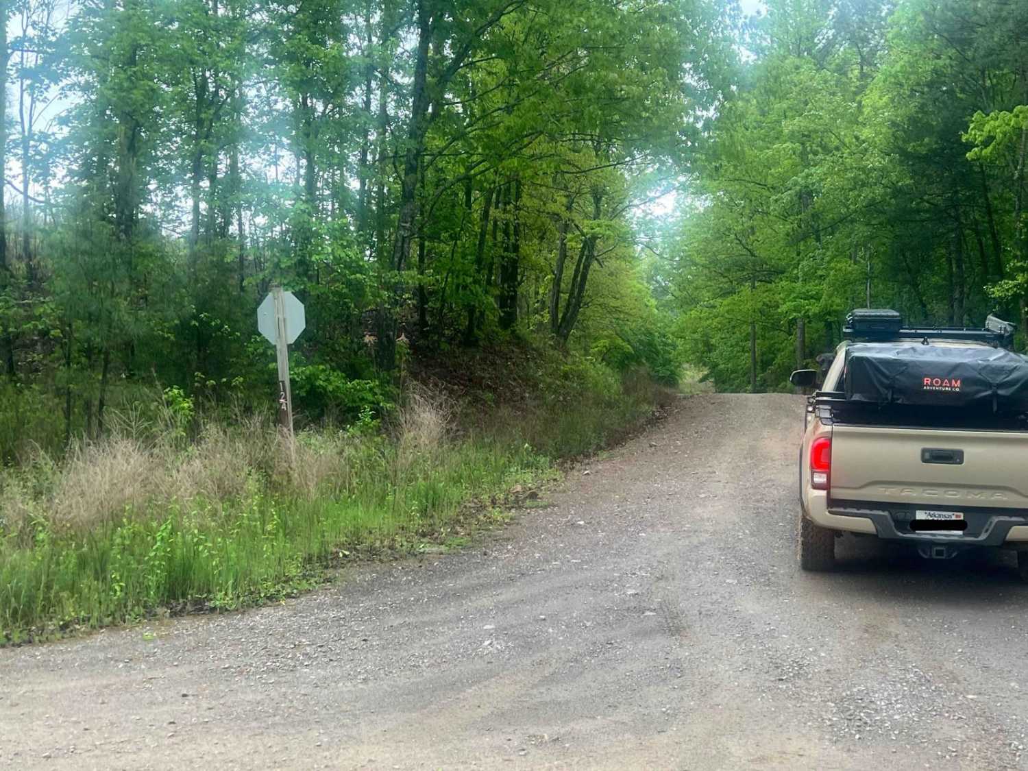
West Forked Mountain FR124
Fox Pen West
Pilot Knob Mountain
The onX Offroad Difference
onX Offroad combines trail photos, descriptions, difficulty ratings, width restrictions, seasonality, and more in a user-friendly interface. Available on all devices, with offline access and full compatibility with CarPlay and Android Auto. Discover what you’re missing today!