Collier Springs
Total Miles
5.6
Technical Rating
Best Time
Spring, Summer, Fall, Winter
Trail Type
Full-Width Road
Accessible By
Trail Overview
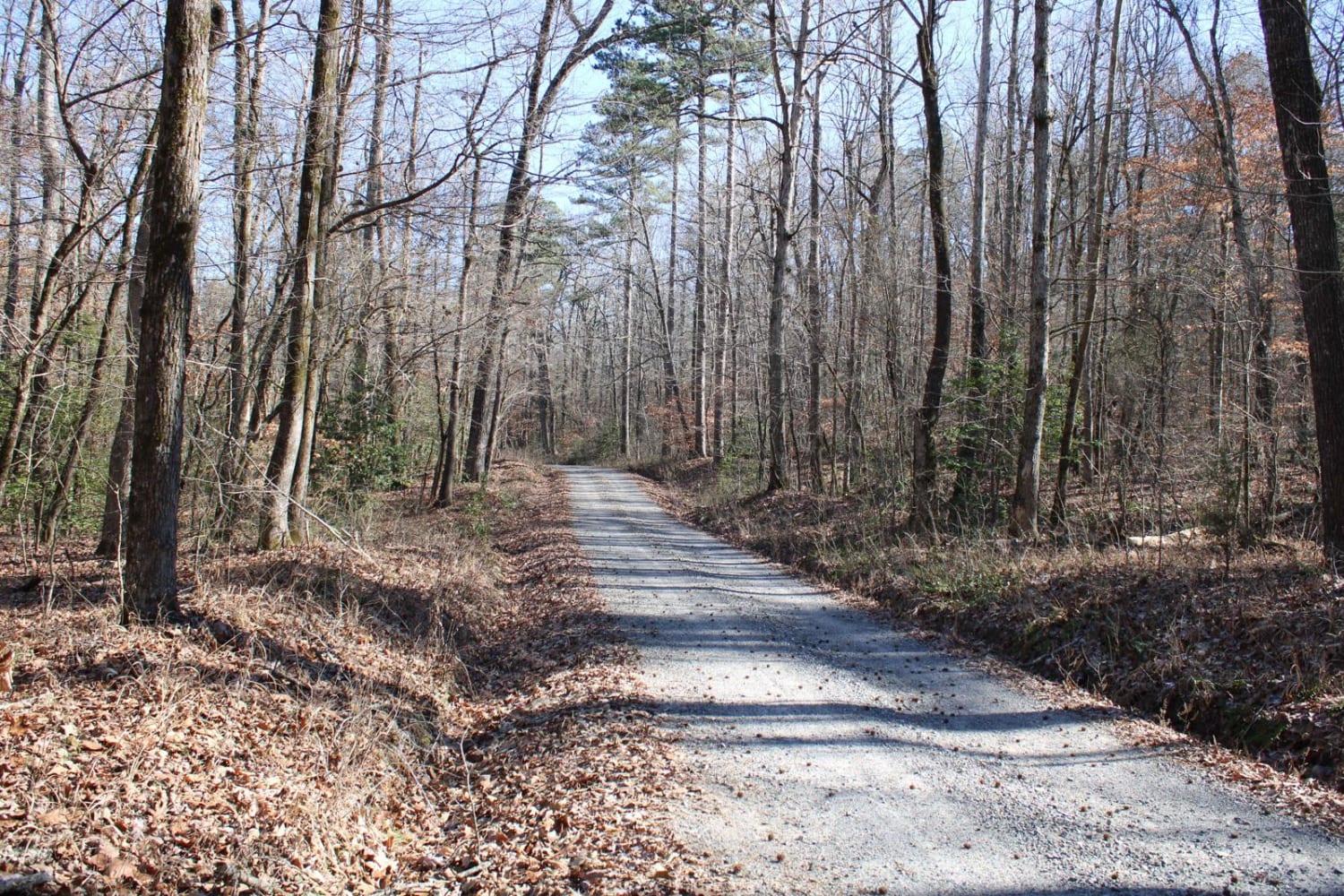
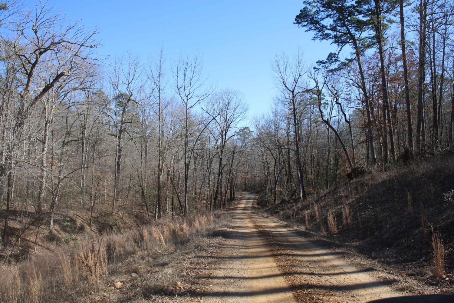
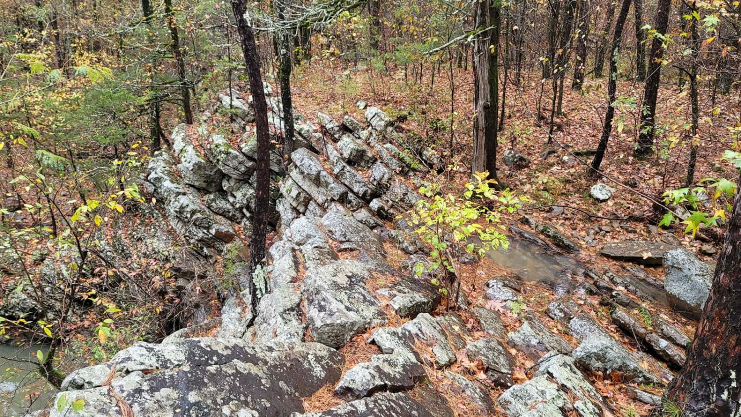
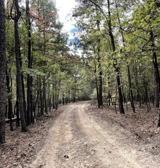
This gravel road leaves a dispersed campsite. This trail passes several dispersed campsites, including Collier Springs, Crystal Scenic Trail, and Twin Creek Crystal Mine. With huge boulders, many rocks, creeks, and diverse terrain, there is a lot to see on this trail. The Collier Springs Picnic Area is located on Forest Road 177 in Ouachita National Forest, northeast of Norman, Arkansas. The picnic area is notable for the presence of the Collier Springs Shelter, which was built by crews of the Civilian Conservation Corps in 1939. It is a rectangular open-air stone structure, with stone columns topped by hewn log beams that support the gabled roof. The shelter also acts as a protective cover for the eponymous spring, which is fed via a pipe to the nearby creek. Facilities at the picnic area also include a vault toilet. Twin Creek Crystal Mine, is a beautiful mine with loads of crystals, bring your lunch and stay all day!!! Parking is right at the pit, shaded picnic tables, porta potty, and friendly hostesses!! Keep your eyes open as you can find crystals along the trail.
Photos of Collier Springs
Difficulty
Easy gravel forest road.
Status Reports
Collier Springs can be accessed by the following ride types:
- High-Clearance 4x4
- SUV
Collier Springs Map
Popular Trails
Stone Wall Falls
Little Brushy Road - 48
A8 Brandon's Run
Gunner Pool Road
The onX Offroad Difference
onX Offroad combines trail photos, descriptions, difficulty ratings, width restrictions, seasonality, and more in a user-friendly interface. Available on all devices, with offline access and full compatibility with CarPlay and Android Auto. Discover what you’re missing today!
