Cossatot River Campgrounds Route
Total Miles
21.9
Technical Rating
Best Time
Spring, Fall, Summer
Trail Type
Full-Width Road
Accessible By
Trail Overview
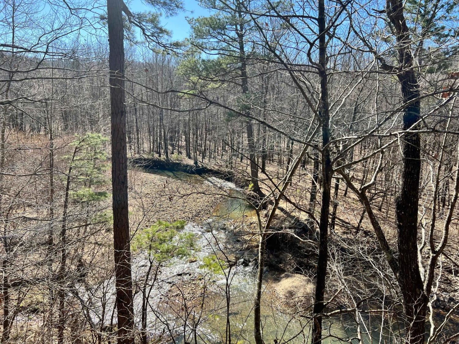
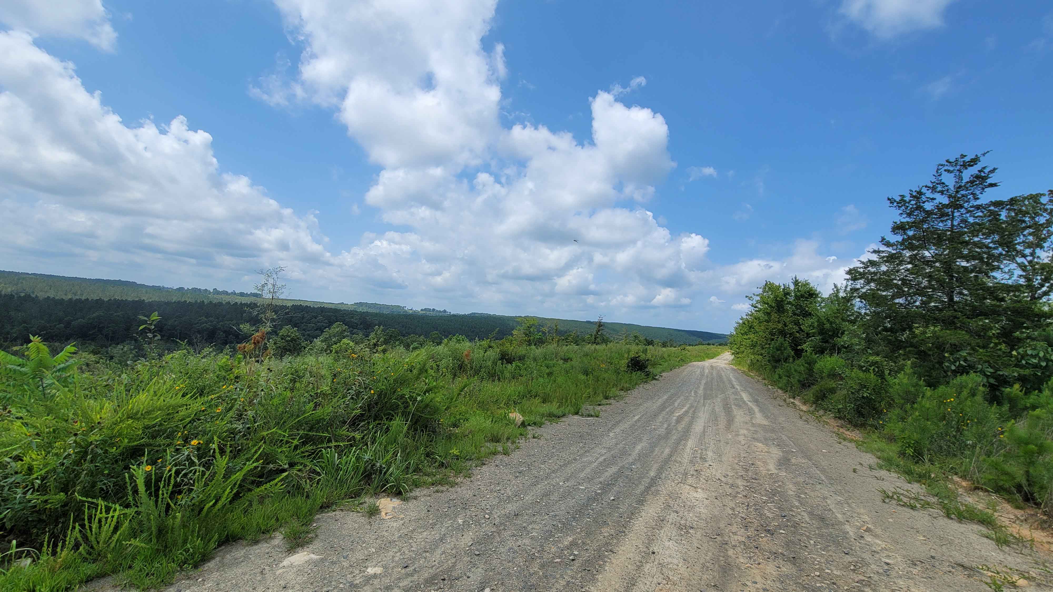
This route takes you by several campground areas along the Cossatot River. You have access to camping, swimming, nature viewing, hiking, kayaking, fishing, gravel roads with awesome views, and more. There are elevation changes along the route. The Cossatot Natural Area State Park has modern restrooms, a gift shop, and a learning center. There is a trail and water access close. The other campgrounds do not have a flushable restroom. There are no utilities at the campgrounds. Some roads do get narrow.
Photos of Cossatot River Campgrounds Route
Difficulty
Gravel roads with potholes and various size rocks. A spare is a must as some rocks can be sharp and can puncture a tire. roads can be muddy or flooded ,depending on weather.
Status Reports
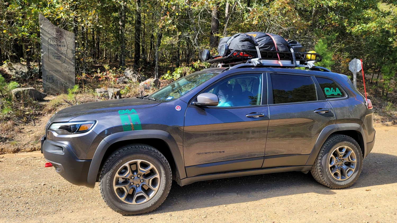
Cossatot River Campgrounds Route can be accessed by the following ride types:
- High-Clearance 4x4
- SUV
- Dirt Bike
Cossatot River Campgrounds Route Map
Popular Trails

Standing Rock

Honu Crossing

Lake Sylvia to Winona Lake and HWY9
The onX Offroad Difference
onX Offroad combines trail photos, descriptions, difficulty ratings, width restrictions, seasonality, and more in a user-friendly interface. Available on all devices, with offline access and full compatibility with CarPlay and Android Auto. Discover what you’re missing today!


