Dutch Mountain East
Total Miles
4.7
Technical Rating
Best Time
Spring, Summer, Fall, Winter
Trail Type
Full-Width Road
Accessible By
Trail Overview
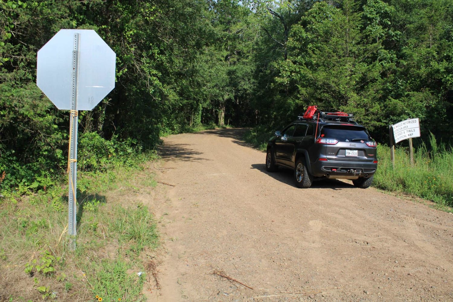
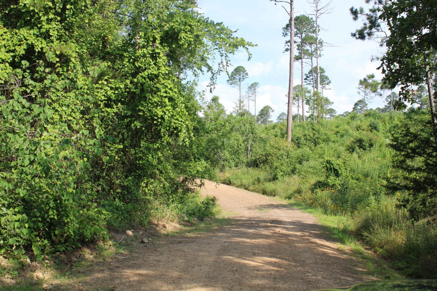
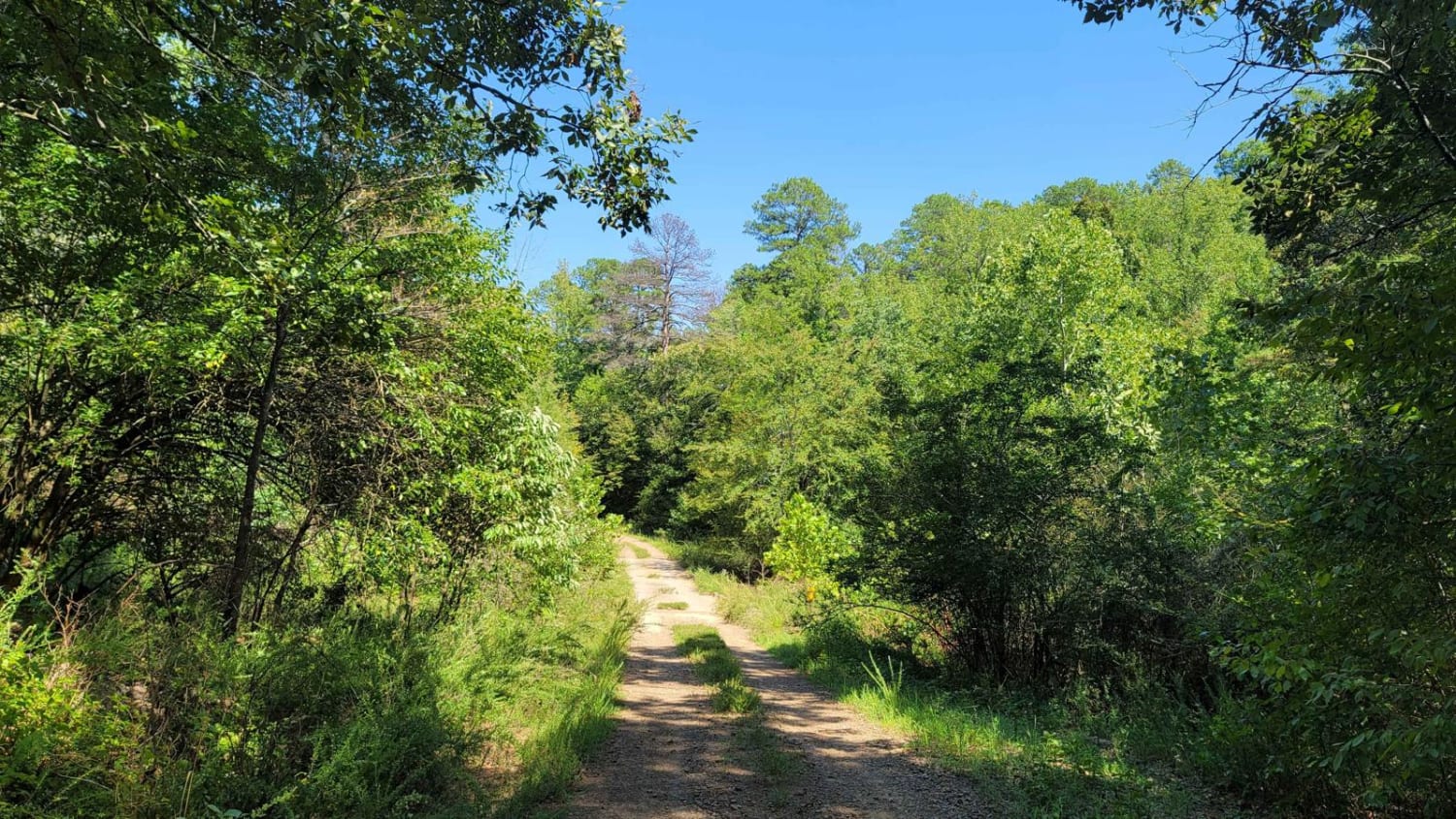
Starting from Highway 27 Peavine Road will lead to Dutch Mountain Road. At Dutch Mountain Road this trail continues west along Dutch Mountain in the Ouachita National Forest. These are natural surface roads consisting of some larger rocks, small rocks, and dirt. Some mud can be experienced depending on the weather. Changes in elevation will be experienced. Some dispersed camping spots can be found along this trail.
Photos of Dutch Mountain East
Difficulty
This natural surface road can be muddy depending on the weather. Some of the larger rocks embedded in the surface make for a rough ride in some areas.
Status Reports
Dutch Mountain East can be accessed by the following ride types:
- High-Clearance 4x4
- SUV
- SxS (60")
Dutch Mountain East Map
Popular Trails
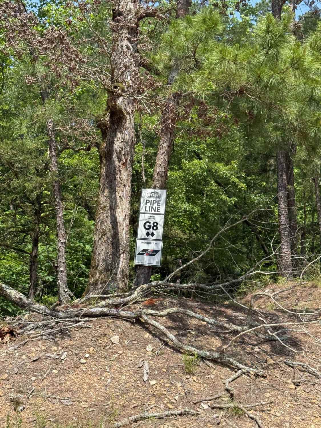
G8/G9 Pipeline

F1 Patriot Pass
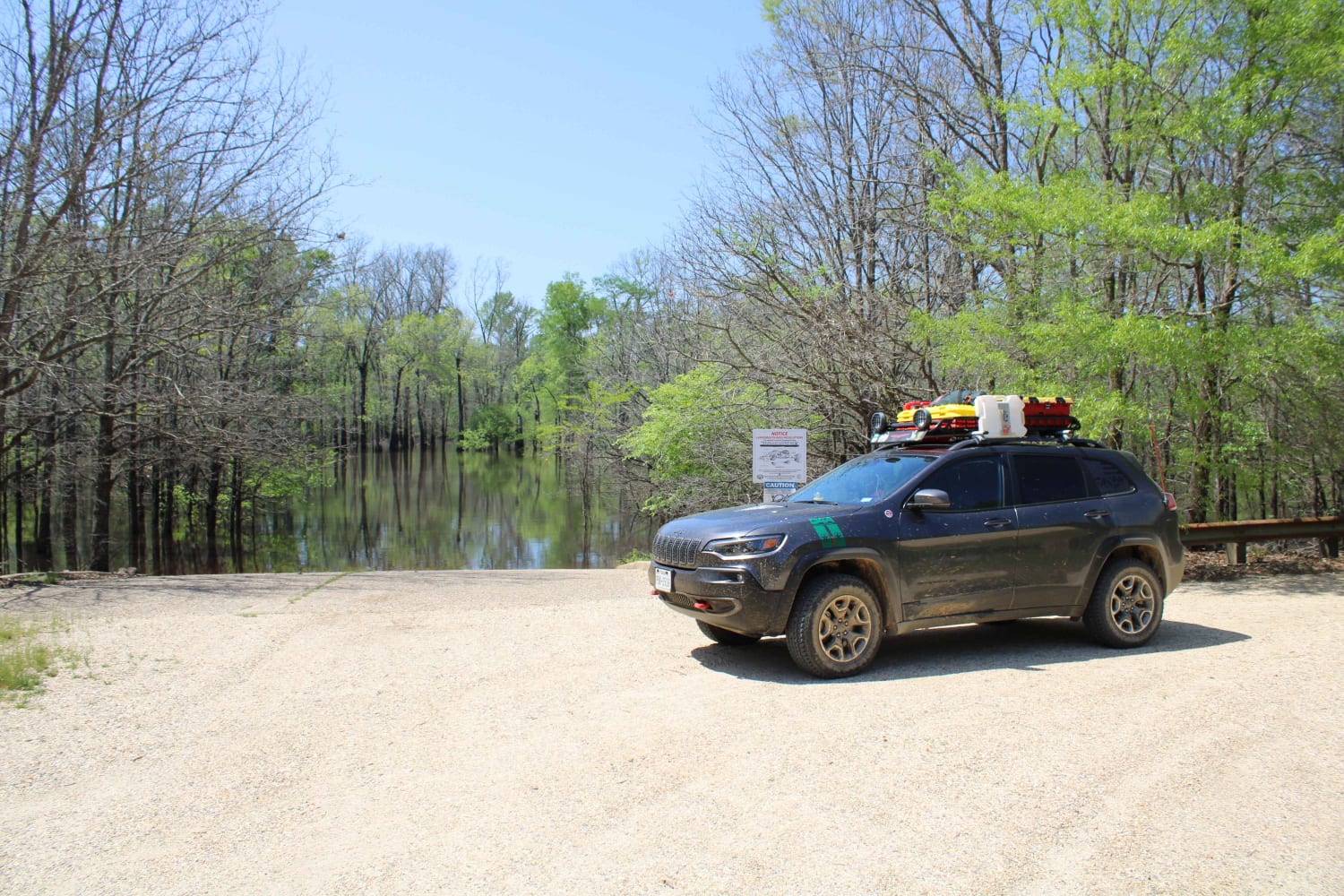
The Arkansas Overland Route - TrailHawk Loop - Section 16
Wildcat Hollow
The onX Offroad Difference
onX Offroad combines trail photos, descriptions, difficulty ratings, width restrictions, seasonality, and more in a user-friendly interface. Available on all devices, with offline access and full compatibility with CarPlay and Android Auto. Discover what you’re missing today!
