East Fork Illinois Bayou
Total Miles
3.3
Technical Rating
Best Time
Fall, Spring
Trail Type
Full-Width Road
Accessible By
Trail Overview
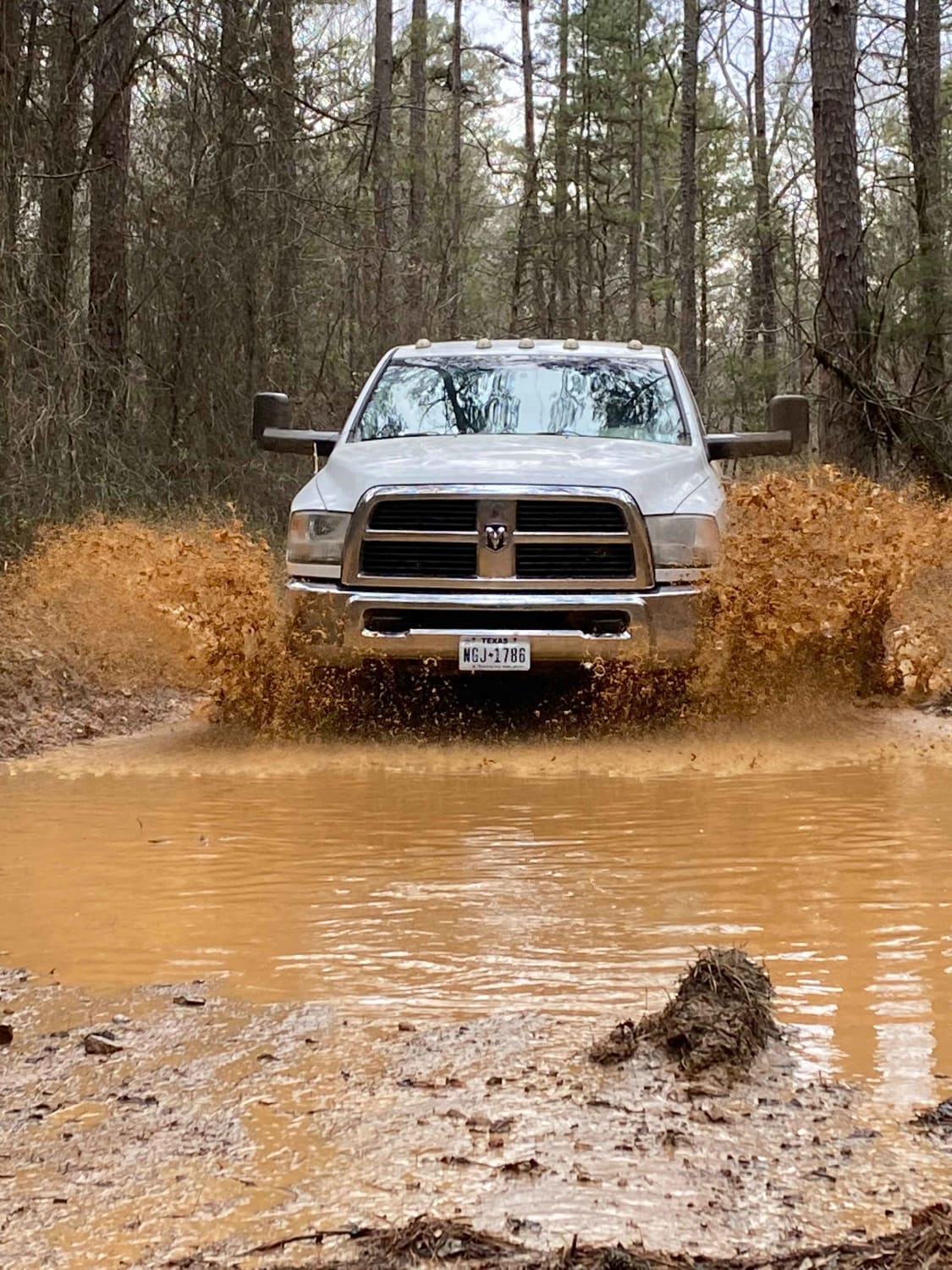
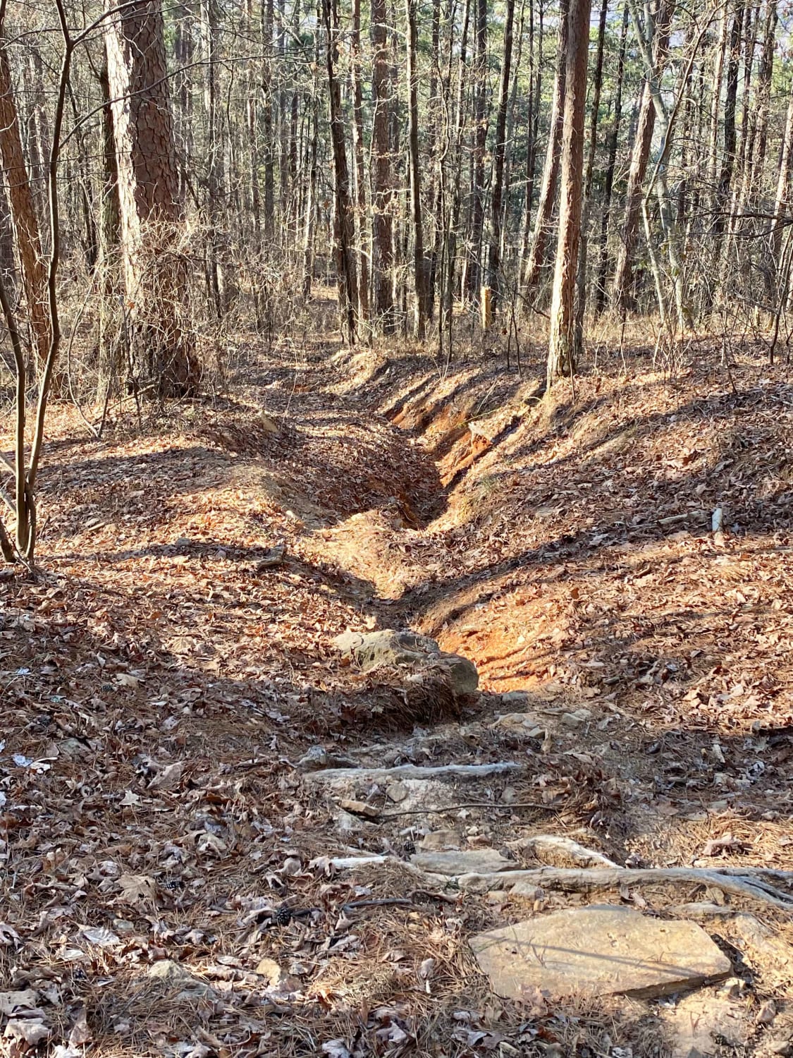
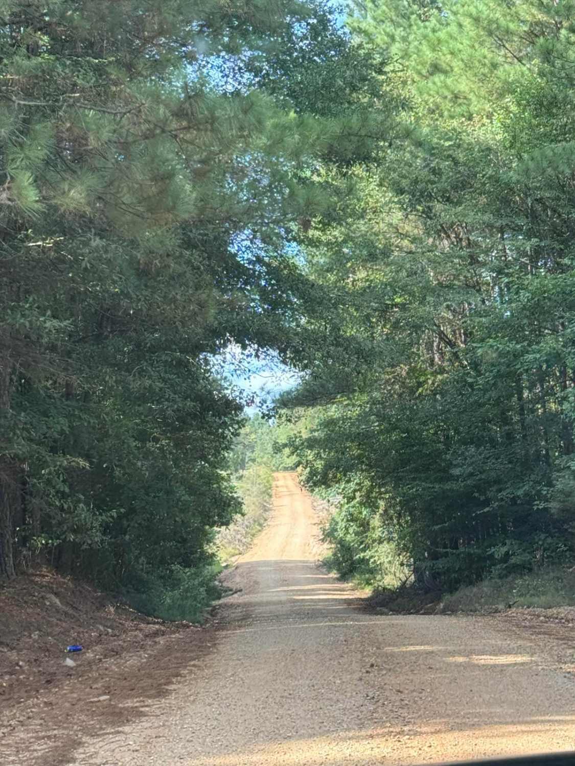
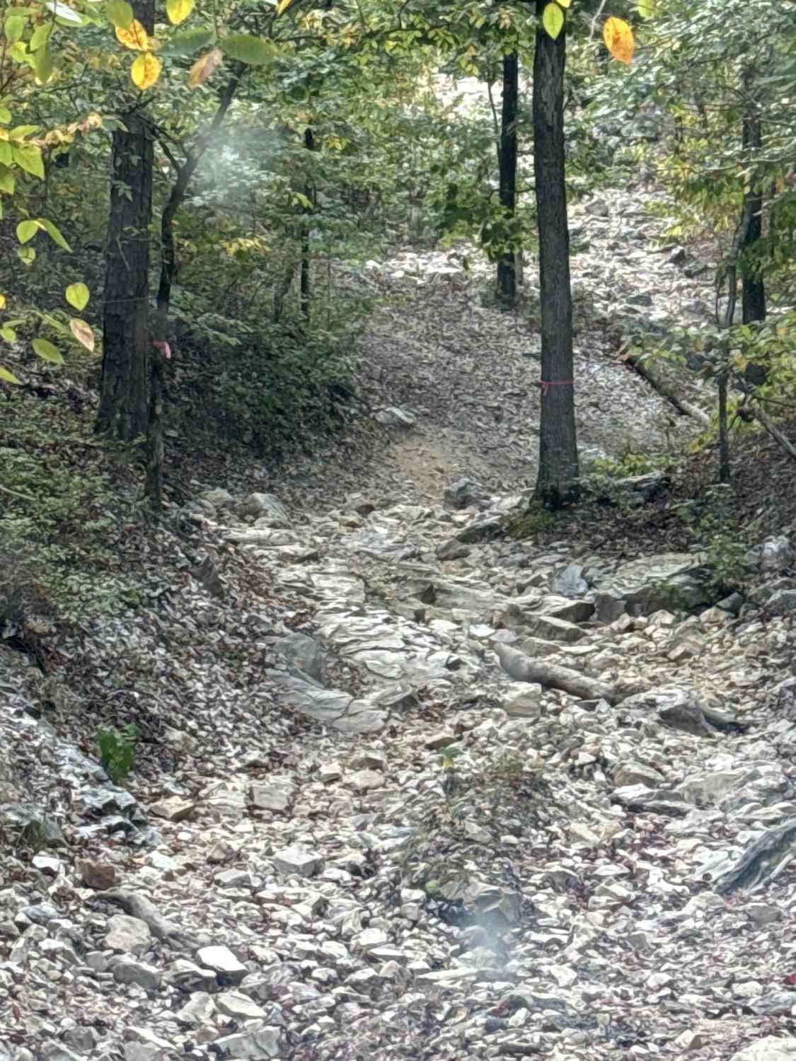
This route starts with an easy descent into the Illinois Bayou. Shortly after descending, there is a group of pick your own line mudholes to choose from; some holes can be up to 30" deep. These can also be bypassed. The route follows the Bayou for .75 miles and has two water crossings. The offshoot to the East Fork Wilderness has a water crossing that can be impassible in the rainy season; this part also is a dead end. The ascent out of the Bayou is a steady, steep climb that has washouts up to 24" deep and rocks up to 20" in height. There is an outcrop of rocks and a cave to be explored 3/8 of a mile before the trail meets Highway 27. Highway legal vehicles only.
Photos of East Fork Illinois Bayou
Difficulty
Mud holes up to 30", Washouts 24" deep, Rocks up to 20", and red clay mud that is very slick.
Status Reports
East Fork Illinois Bayou can be accessed by the following ride types:
- High-Clearance 4x4
- SUV
East Fork Illinois Bayou Map
Popular Trails

F43 Go Mud'n
The onX Offroad Difference
onX Offroad combines trail photos, descriptions, difficulty ratings, width restrictions, seasonality, and more in a user-friendly interface. Available on all devices, with offline access and full compatibility with CarPlay and Android Auto. Discover what you’re missing today!


