Fanes Creek 1520
Total Miles
7.1
Technical Rating
Best Time
Spring, Fall, Winter, Summer
Trail Type
Full-Width Road
Accessible By
Trail Overview
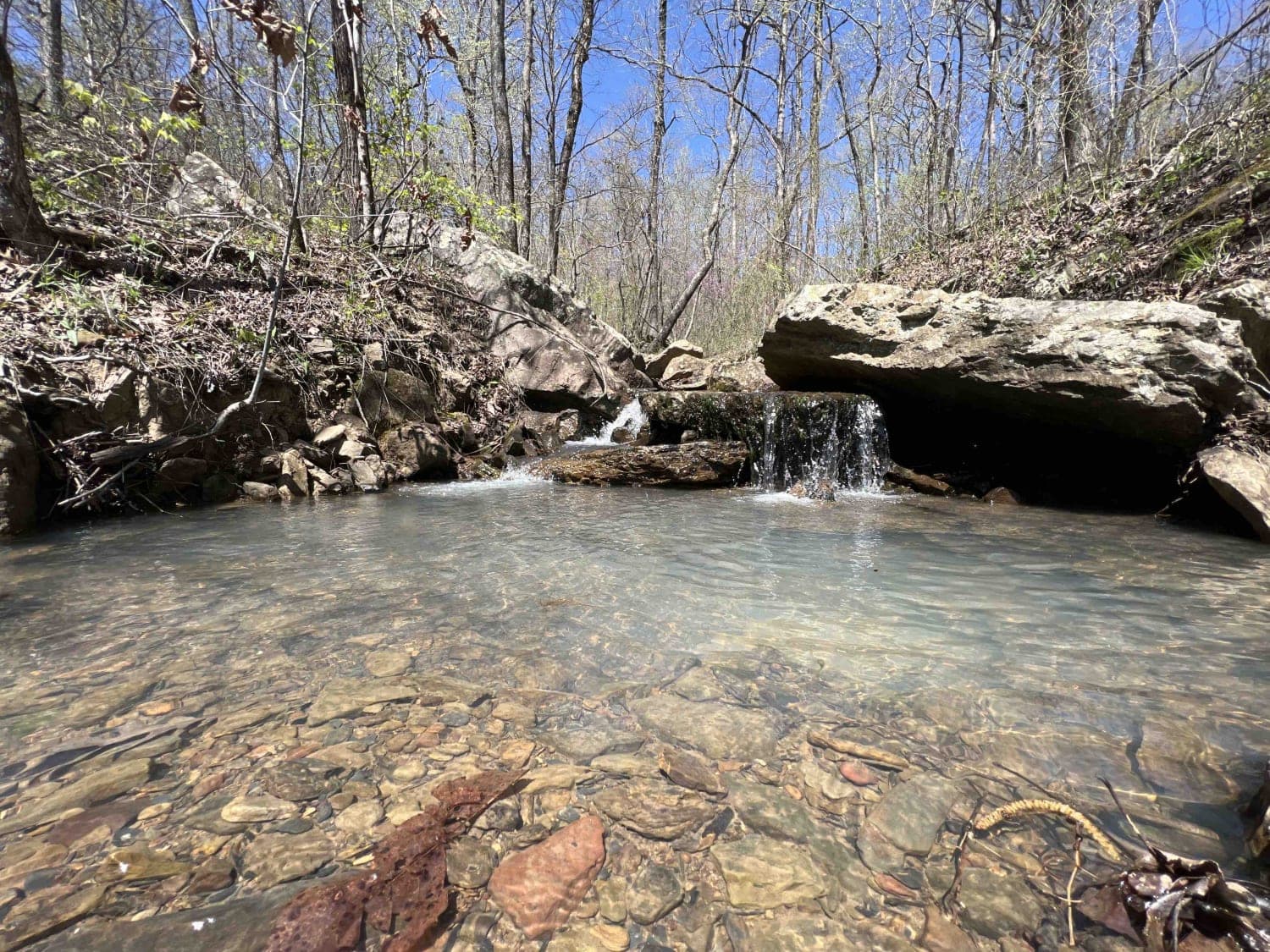
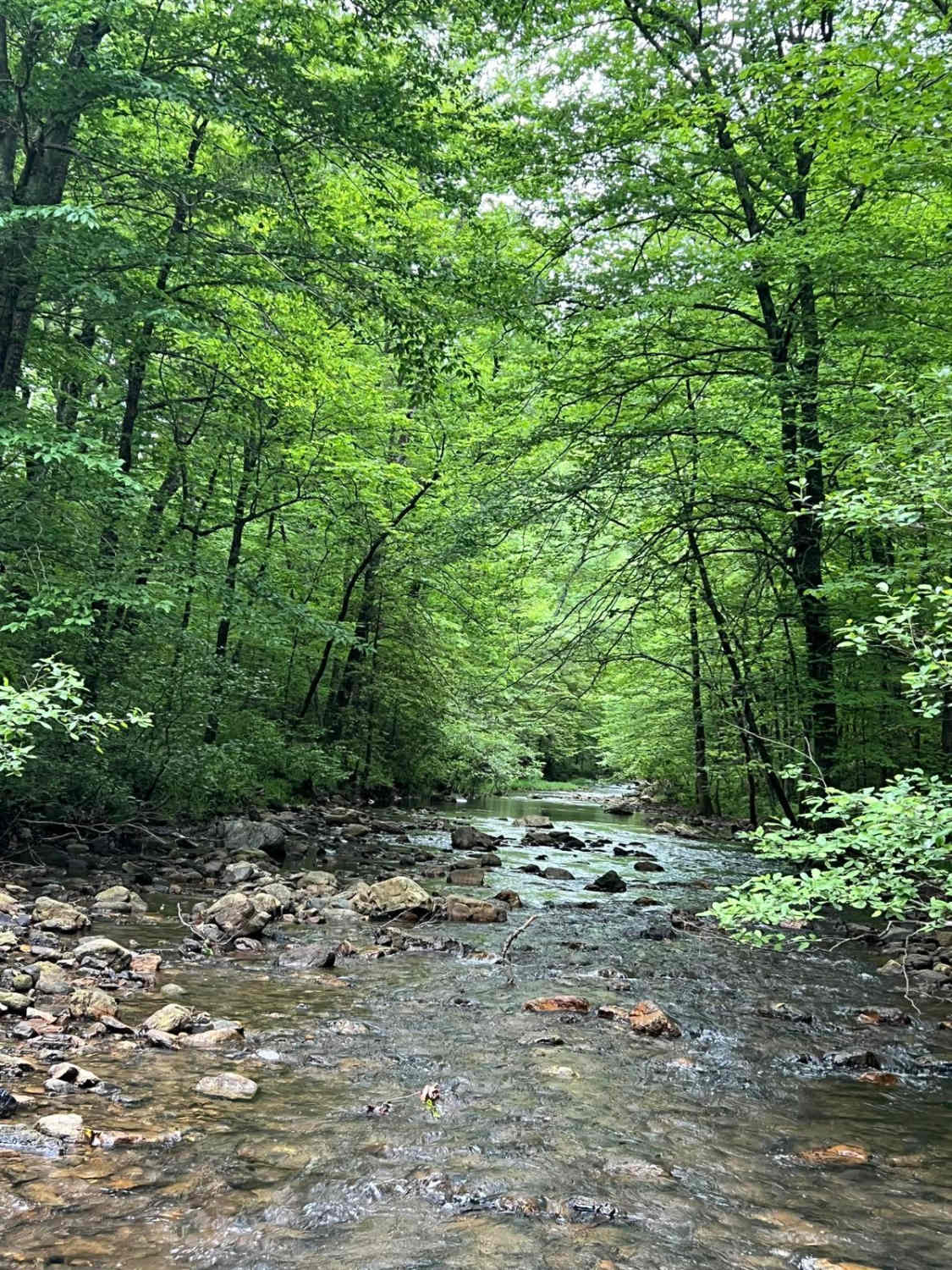
Fanes Creek is a really beautiful area to explore with several areas to play in the water, it's a great way to cool off during the summer. It's an easy gravel road with both Fanes Creek and Cove Creek passing alongside this route. There are dispersed campsites right next to these creeks along with waterfalls to explore along the way. There are places to pull off if you want to hike up the waterfalls. Arkansas is home to the venomous cottonmouth snake so be mindful during the summer months where you step as there may be some snakes sunning themselves next to the creeks. The best time to explore this are is right after a rainfall as the water level rises and the waterfalls overflow their banks. The pine trees and white oak line these roads for miles. Fanes Creek can be used as a bypass to access Shores Lake recreation area until the landslide on 1003 is fixed.
Photos of Fanes Creek 1520
Difficulty
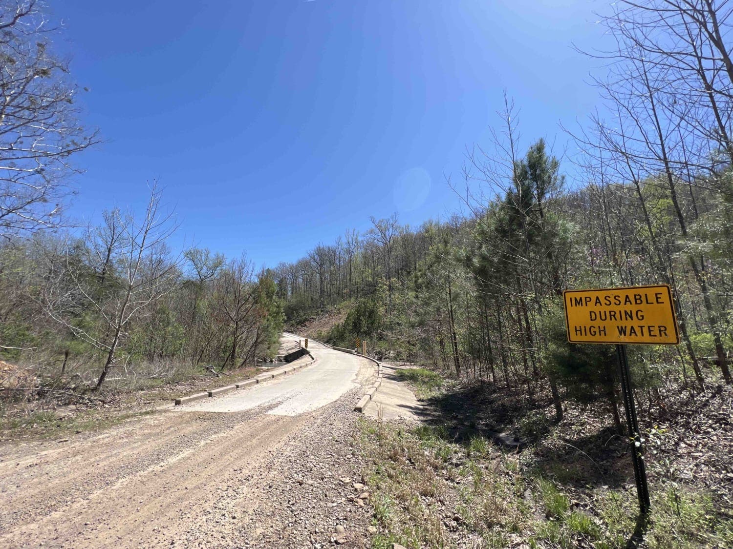
There are two water crossings one of which can over flow its banks onto the road as its not a bridge but rather a spillway. The second water crossing has a bridge however during flooding this too can be unpassable. Easy gravel road otherwise. Enjoy
History
Here is some interesting information on the Ozark Highland Trail that goes from Fanes Creek to Spirits Creek-https://ozarkmountainhiker.com/tag/fane-creek/https://www.fs.usda.gov/main/osfnf/learning/history-culture
Status Reports
Popular Trails
Brushy Creek
Boggy Creek Monster Trail

Lake Sylvia to Winona Lake and HWY9
Little Piney Creek - Union School
The onX Offroad Difference
onX Offroad combines trail photos, descriptions, difficulty ratings, width restrictions, seasonality, and more in a user-friendly interface. Available on all devices, with offline access and full compatibility with CarPlay and Android Auto. Discover what you’re missing today!
