Graves Creek Road
Total Miles
5.8
Technical Rating
Best Time
Fall
Trail Type
High-Clearance 4x4 Trail
Accessible By
Trail Overview
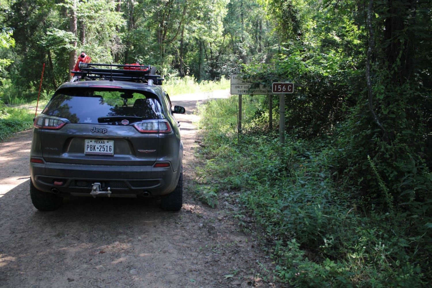
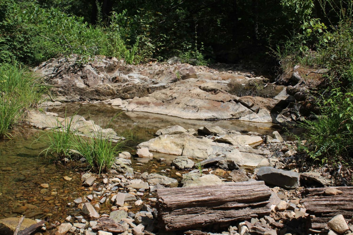
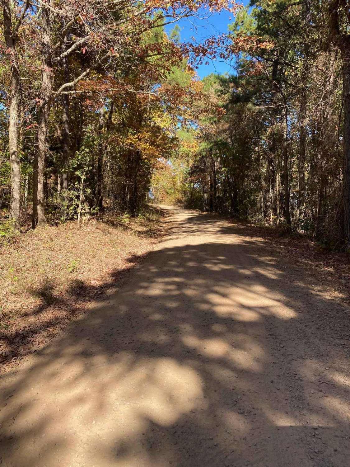
Graves Creek Road starts as a gravel road and, at the 1.5-mile point, switches to a loose rock and boulder two-track. The remaining 3 miles are a fun ascending and descending trail, with one water crossing during recent rains and a beautiful long beach along Big Piney Creek. A handful of camping sites along the route, with ample room for groups at the end along Big Piney Creek.
Photos of Graves Creek Road
Difficulty
This trail increases in difficulty as you progress closer to Big Piney Creek. Most of the difficulty comes from steep ascents and descents that are off camber and include loose rocks and boulders to climb over. Most boulders are less than 18" tall.
Status Reports
Graves Creek Road can be accessed by the following ride types:
- High-Clearance 4x4
- SxS (60")
- ATV (50")
- Dirt Bike
Graves Creek Road Map
Popular Trails

Kingston Road (156C)

Round to Henson School Road

Crystal Park
The onX Offroad Difference
onX Offroad combines trail photos, descriptions, difficulty ratings, width restrictions, seasonality, and more in a user-friendly interface. Available on all devices, with offline access and full compatibility with CarPlay and Android Auto. Discover what you’re missing today!


