Highway 355 To Nacatoch Ravines
Total Miles
3.0
Elevation
135.83 ft
Duration
0.3 Hours
Technical Rating
Best Time
Spring, Summer, Fall, Winter
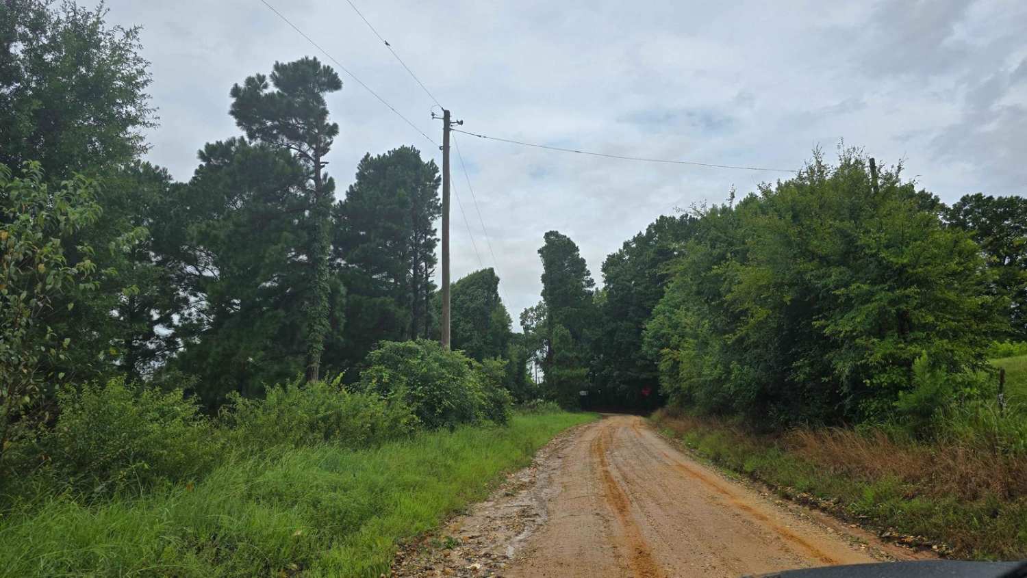
Trail Overview
Gravel road through farmland. One end is at Highway 355 and the other is at Nacatoch Ravines where you can continue to Columbus. There are no gates. This will join up with a trail that continues to Columbus. Expect muddy roads if wet. This trail can be dusty when dry.
Photos of Highway 355 To Nacatoch Ravines

Difficulty
This is an easy gravel road that can be muddy when wet.
Status Reports
There are no status reports yet for this trail.
Popular Trails

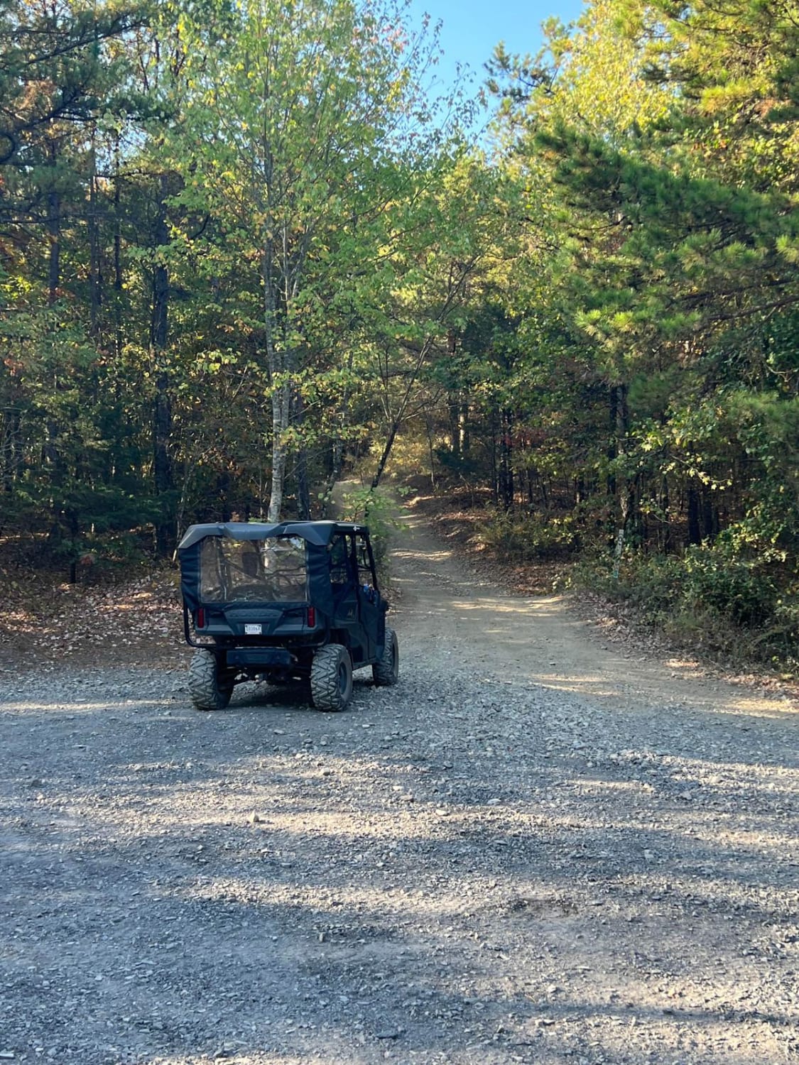
West Trailhead
Total Miles
2.1
Tech Rating
Easy
Best Time
Sp / Su / Fa
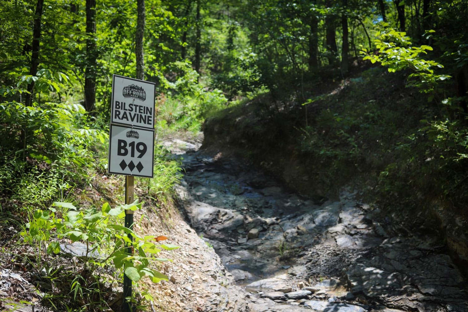
Bilstein Ravine
Total Miles
0.1
Tech Rating
Moderate
Best Time
Sp / Su / Fa / Wi
North Fork Pinnacle Road 132C
Total Miles
4.2
Tech Rating
Moderate
Best Time
Fa / Wi
The onX Offroad Difference
onX Offroad combines trail photos, descriptions, difficulty ratings, width restrictions, seasonality, and more in a user-friendly interface. Available on all devices, with offline access and full compatibility with CarPlay and Android Auto. Discover what you’re missing today!