Howard County WMA 485RD Circle
Total Miles
6.8
Technical Rating
Best Time
Spring, Summer, Fall
Trail Type
Full-Width Road
Accessible By
Trail Overview
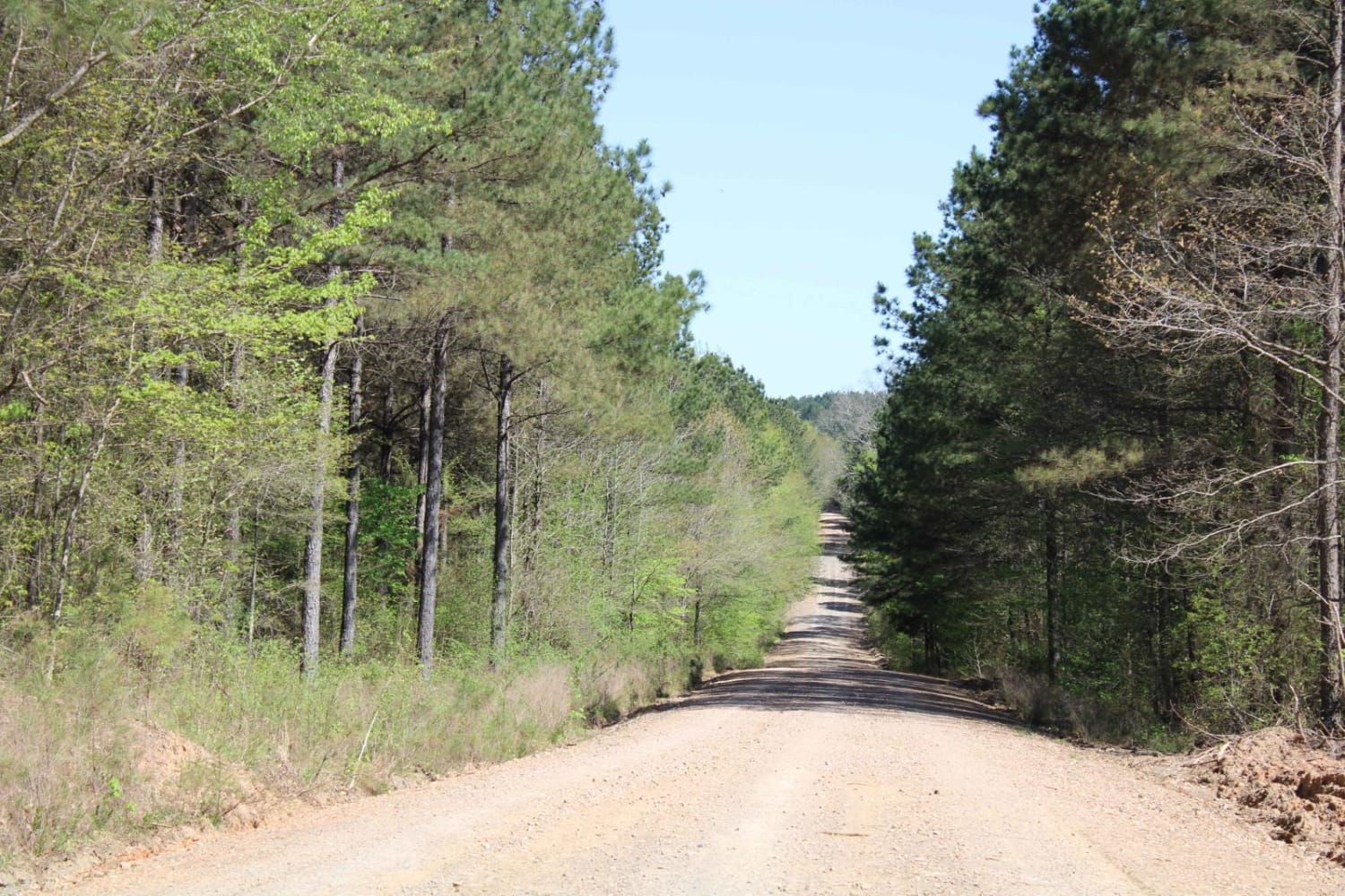
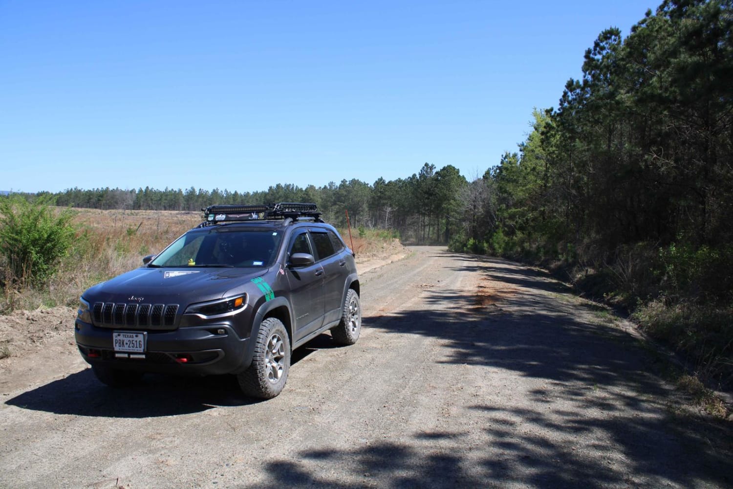
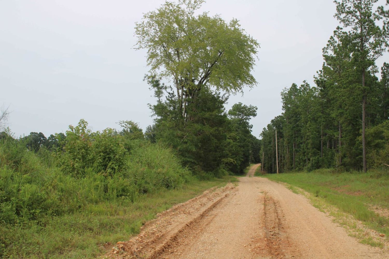
Gravel roads that are in the Howard County WMA. These gravel roads are well maintained but can be muddy when wet. This trail ends at a circle turn around. Gates can be closed at times. There is a gate at the beginning of this trail. A free annual General Use Permit (WMP) is required to hunt or trap WMAs. Permits are available online by clicking "Buy Licenses" at agfc.com or by calling 833-345-0325 or any regional office. Hunters, trappers, and campers 16 years of age or older must purchase a Howard County WMA leased lands permit. CampingCamping is permitted in the area at designated campsites. Additional campsites are available at Blue Ridge Recreational Area on Dierks Lake and at the Gillham Lake dam area. Access on the west side is facilitated by crossing Gillham Lake Dam and following Gillham Lake Road. (County Road) through the area. Access on the north and east is facilitated by utilizing Weyerhaeuser roads off Hwy. 4. Due to the large network of Weyerhaeuser roads that run throughout the area it is recommended that anyone not familiar with the area obtain an area map from the AGFC office. The area became a WMA in the 1970s.This area is made up of approximately 23,000 acres of Weyerhaeuser Company land.
Photos of Howard County WMA 485RD Circle
Difficulty
Maintained gravel roads that can be muddy when wet.
Status Reports
Popular Trails
North Fork Road 86
Highway 24 to Campsite C-10 Poison Springs WMA
Hempstead 307 Road
The Arkansas Overland Route - Section 13 - Moro State Park
The onX Offroad Difference
onX Offroad combines trail photos, descriptions, difficulty ratings, width restrictions, seasonality, and more in a user-friendly interface. Available on all devices, with offline access and full compatibility with CarPlay and Android Auto. Discover what you’re missing today!
