Howard County WMA To Highway 278
Total Miles
7.3
Technical Rating
Best Time
Spring, Summer, Fall
Trail Type
Full-Width Road
Accessible By
Trail Overview
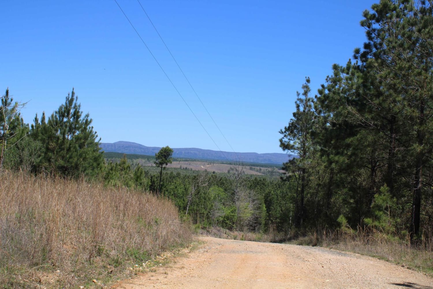
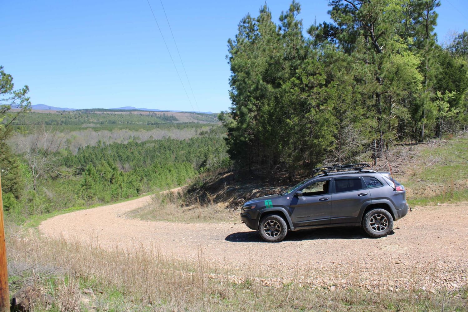
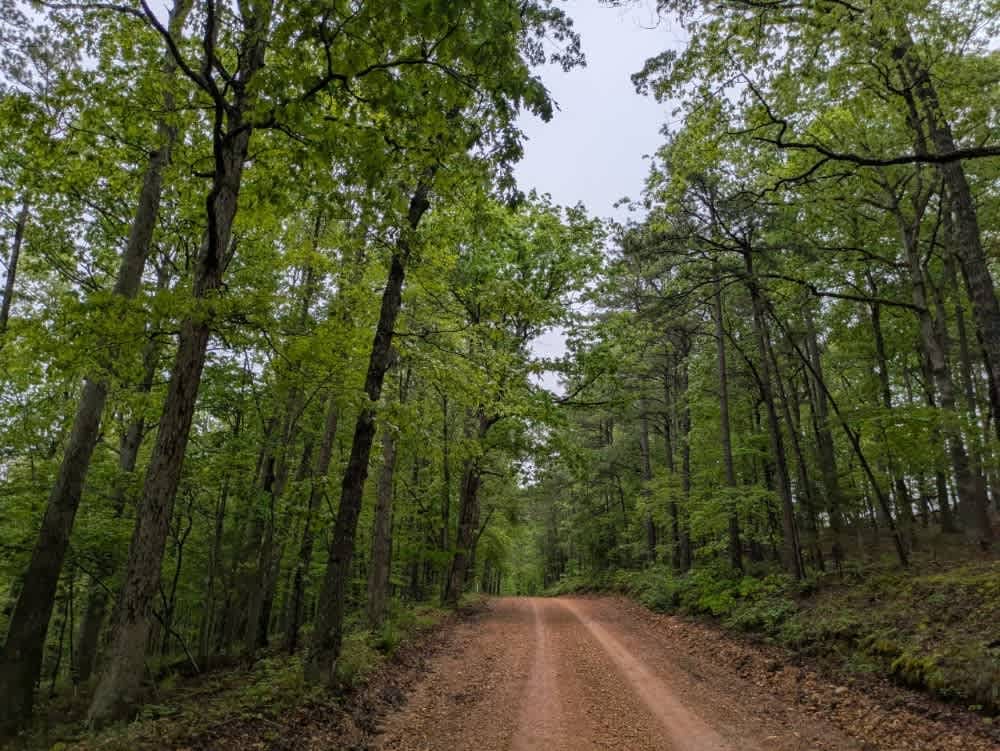
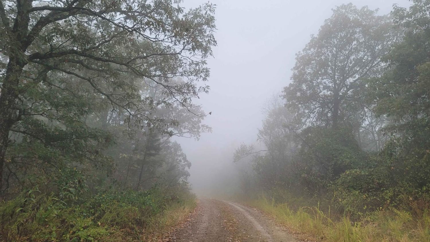
Maintained gravel roads in Howard County WMA that exit at Highway 278. A free annual General Use Permit (WMP) is required to hunt or trap WMAs. Permits are available online by clicking "Buy Licenses" at agfc.com or by calling 833-345-0325 or any regional office. Hunters, trappers, and campers 16 years of age or older must purchase a Howard County WMA leased lands permit. Camping is permitted in the area at designated campsites. Additional campsites are available at Blue Ridge Recreational Area on Dierks Lake and at the Gillham Lake dam area. Typical Athens Piedmont Plateau habitat includes rolling hills intensively managed for pine production and pine/hardwood mixed stands along creeks. The area is bordered on the west by Gillham Lake and the Cossatot River and partially on the south by Dierks Lake. Fishing opportunities are good in both Gillham Lake and Dierks Lake. Cossatot River State Park and Natural Area lies upstream on the Cossatot River. The Ouachita National Forest is located approximately 10 miles north. Facilities are located in Dierks and Umpire. Corps of Engineer campground at Blue Ridge Recreational Area on Dierks Lake is equipped with a concrete boat ramp.
Photos of Howard County WMA To Highway 278
Difficulty
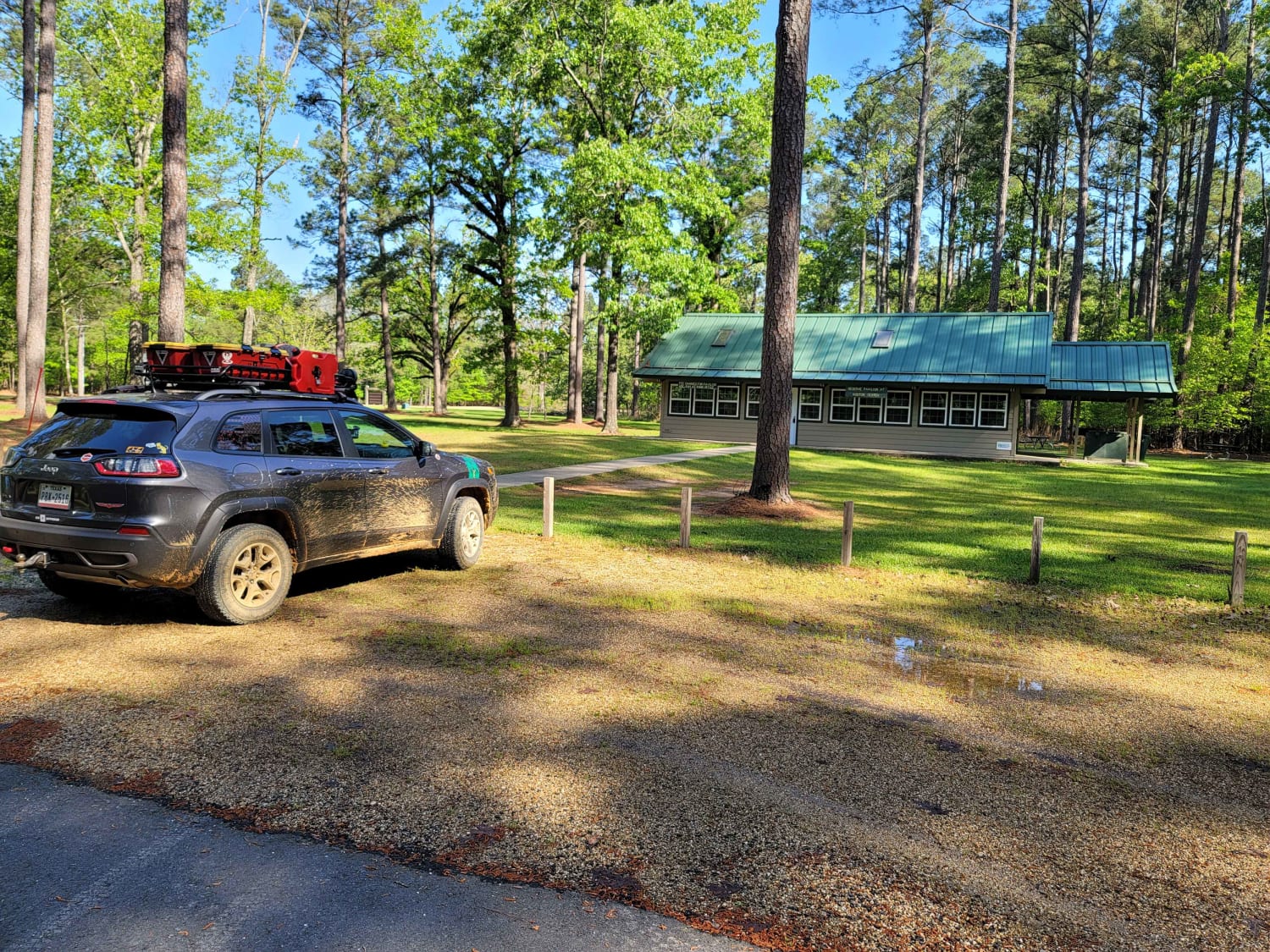
Maintained Gravel roads that can be muddy when wet.
Status Reports
Howard County WMA To Highway 278 can be accessed by the following ride types:
- High-Clearance 4x4
- SUV
Howard County WMA To Highway 278 Map
Popular Trails

H13 Rock & A Hard Spot
The Arkansas Overland Route - Section 13 - Moro State Park
The onX Offroad Difference
onX Offroad combines trail photos, descriptions, difficulty ratings, width restrictions, seasonality, and more in a user-friendly interface. Available on all devices, with offline access and full compatibility with CarPlay and Android Auto. Discover what you’re missing today!
