Jack Creek Road
Total Miles
4.1
Technical Rating
Best Time
Spring, Summer, Fall, Winter
Trail Type
Full-Width Road
Accessible By
Trail Overview
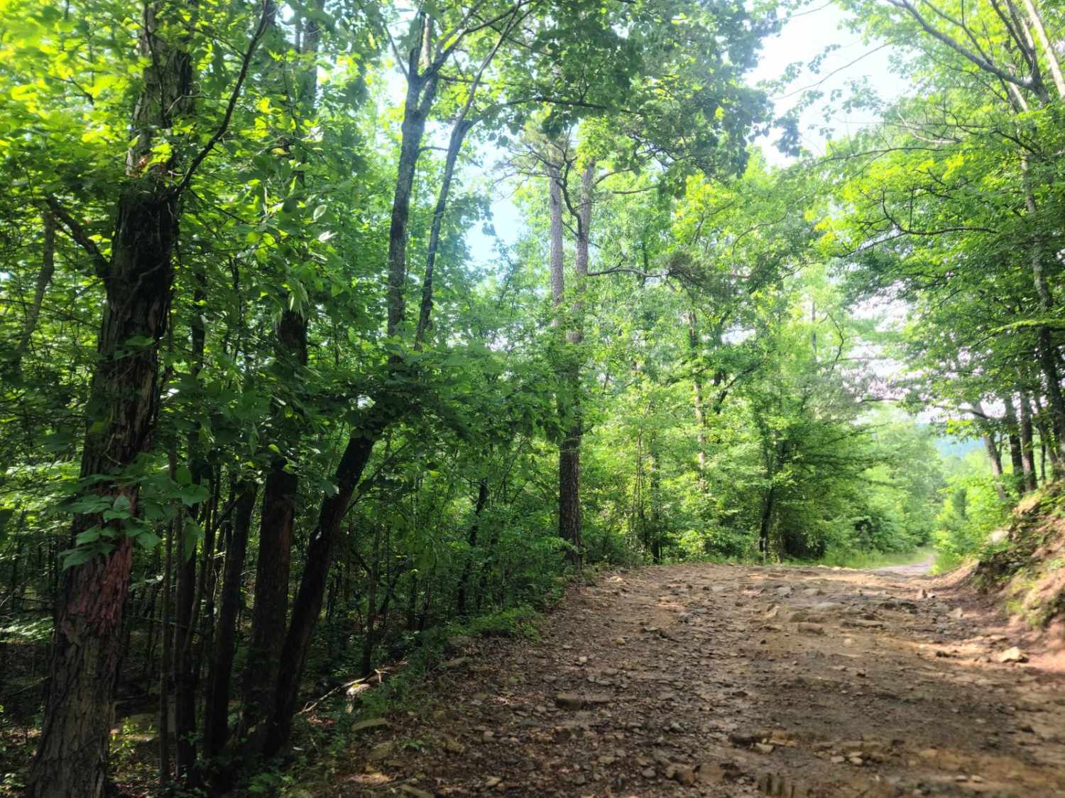
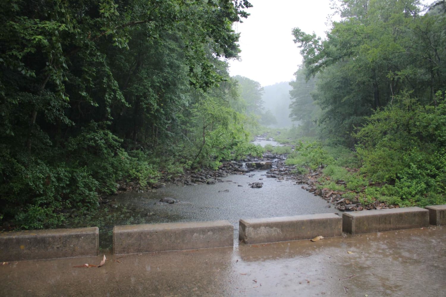
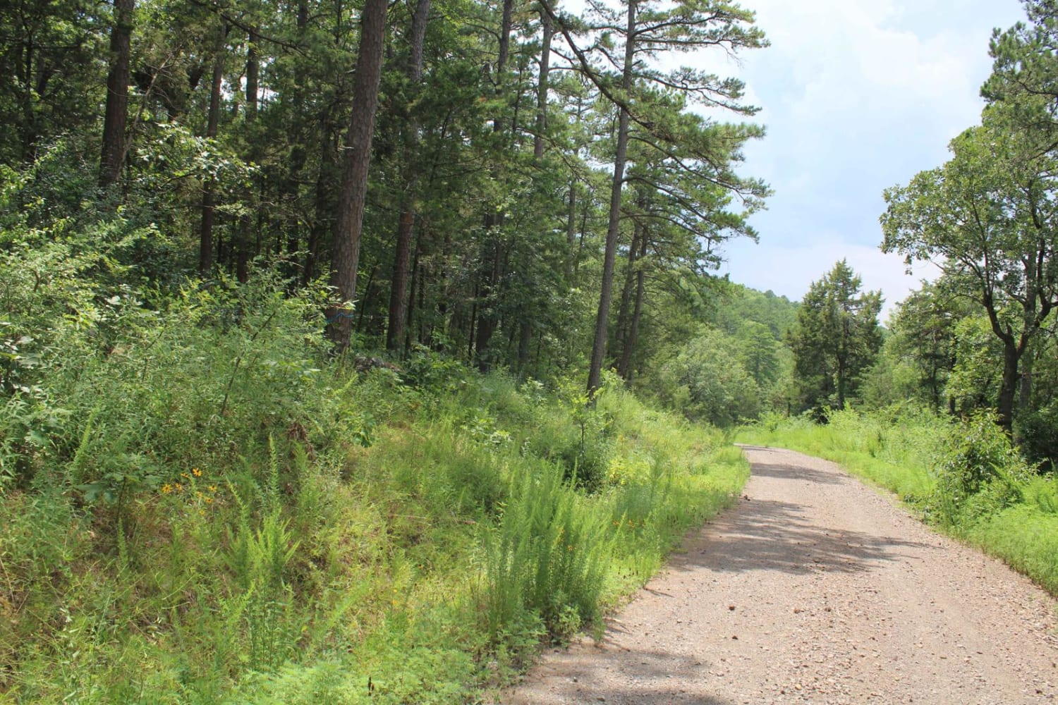
Jack Creek Road is a natural surface road with gravel in some areas. Dispersed campsites and hiking areas are along this road. This road crosses Jack Creek. Buck Ridge Shooting Range is just off Jack Creek Road along Buck Ridge Road. This trail ends at Jack Creek Recreation Area and campground. Jack Creek Recreation Area is located in a picturesque setting alongside towering rock bluffs and flowing waters. The area was constructed in the 1930s by the Civilian Conservation Corps (CCC) and displays several unique, historic facilities. There is a short trail that climbs a couple of hundred feet to a recently restored rock overlook vista that offers a panoramic view of whispering pine trees and colorful fall vegetation. Jack Creek offers day use and a primitive campground at no cost. Also from Jack Creek Recreation Area is a trailhead for the Hole-In-The-Ground Mountain Hiking Trail and Sugar Creek Hiking Trail. Hole-In-The-Ground Trail is not a loop trail and extends approximately four miles in length. The Sugar Creek Hiking Trail extends approximately three miles connecting Jack Creek to Knopper's Ford Recreation Area. No reservations are available. Sites are available on a first-come/first-based only. There is no charge, no water or electricity available. Restrooms are open. Operational Hours: Open seasonally, March through mid-October.
Photos of Jack Creek Road
Difficulty
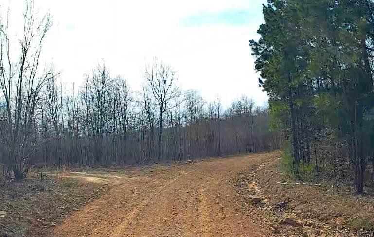
This is a gravel and dirt road. It is dusty when dry and messy when wet.
Status Reports
Jack Creek Road can be accessed by the following ride types:
- High-Clearance 4x4
- SUV
- SxS (60")
- ATV (50")
- Dirt Bike
Jack Creek Road Map
Popular Trails

Highland Route - 216

Q-O Connector
The onX Offroad Difference
onX Offroad combines trail photos, descriptions, difficulty ratings, width restrictions, seasonality, and more in a user-friendly interface. Available on all devices, with offline access and full compatibility with CarPlay and Android Auto. Discover what you’re missing today!


