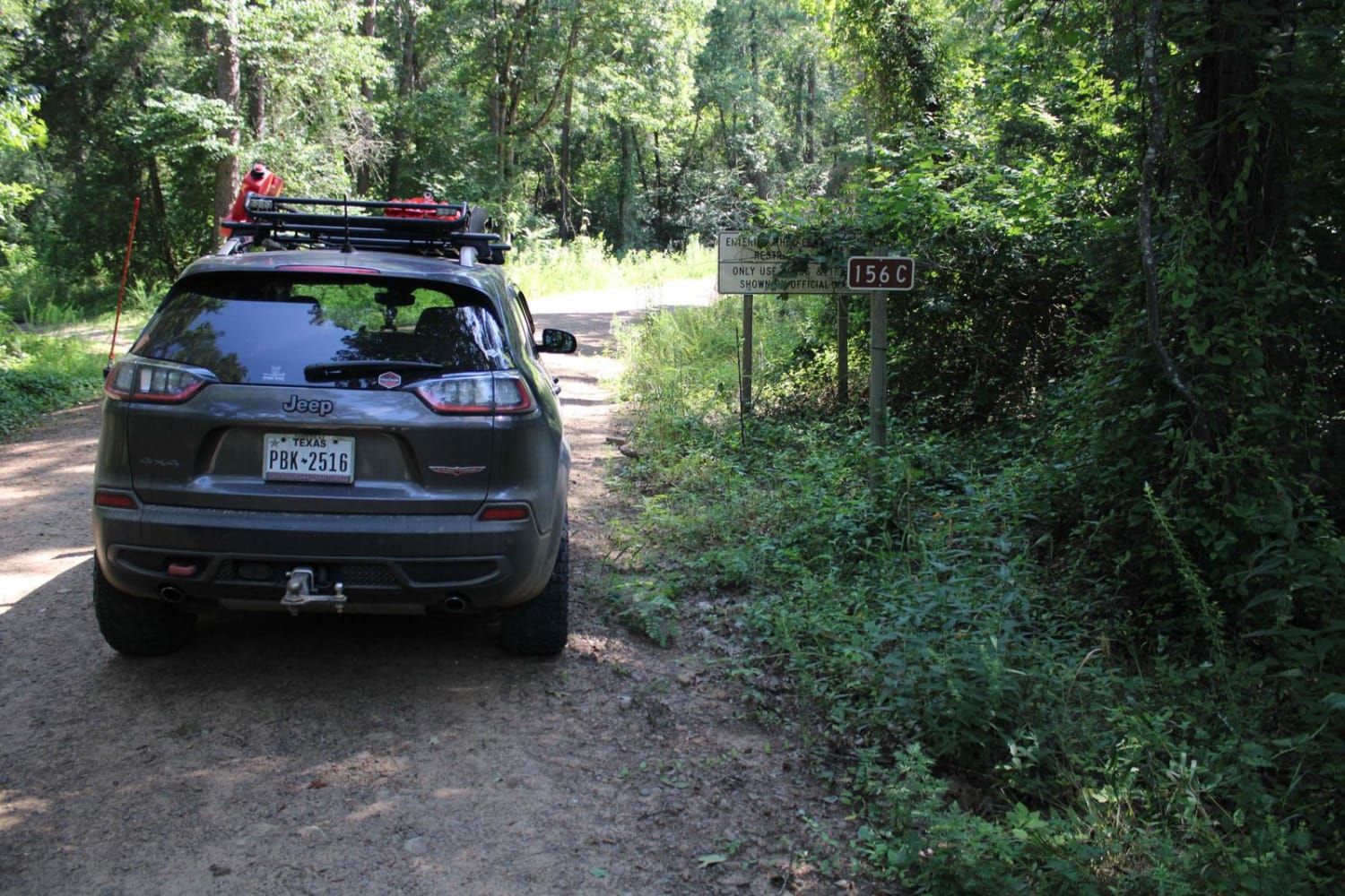
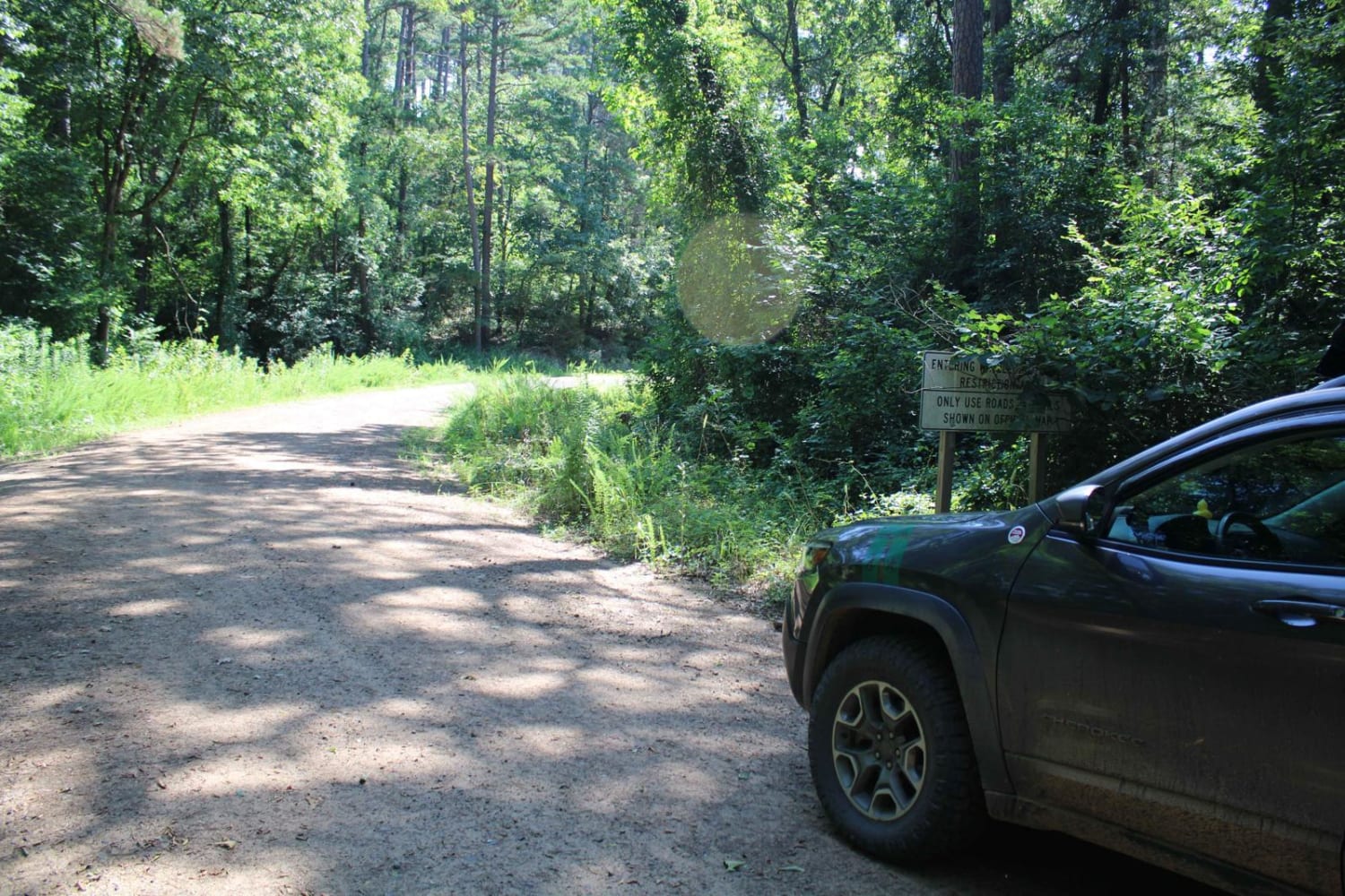
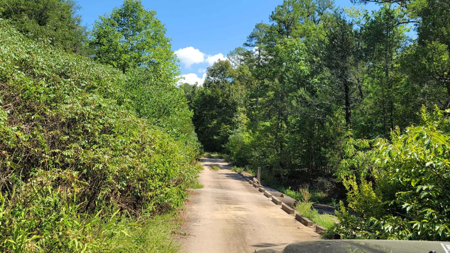
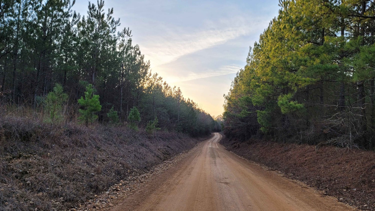
Kingston Road (156C)
Total Miles
4.5
Technical Rating
Best Time
Spring, Summer, Fall, Winter
Trail Type
Full-Width Road
Accessible By
Trail Overview
East off Highway 27, starts Kingston Road (156c) that travels east to Peeler Gap Road (YE15). This gravel road winds through the beautiful Ouachita National Forest. During dry weather, the road can be dusty and it can be messy when wet. There can be water crossings during and after rain. Dispersed camping spots can be found along the route.
Photos of Kingston Road (156C)
Difficulty
This is a gravel road that is dusty when dry and messy when wet.
Status Reports
Kingston Road (156C) can be accessed by the following ride types:
- High-Clearance 4x4
- SUV
- SxS (60")
- ATV (50")
- Dirt Bike
Kingston Road (156C) Map
Popular Trails


J8 Dave's Way
Mount Zion Cemetery
Country route to White Oak Lake Group Campsite
The onX Offroad Difference
onX Offroad combines trail photos, descriptions, difficulty ratings, width restrictions, seasonality, and more in a user-friendly interface. Available on all devices, with offline access and full compatibility with CarPlay and Android Auto. Discover what you’re missing today!