Little Bridge Creek to HWY 73
Total Miles
7.0
Technical Rating
Best Time
Spring, Summer, Fall, Winter
Trail Type
Full-Width Road
Accessible By
Trail Overview
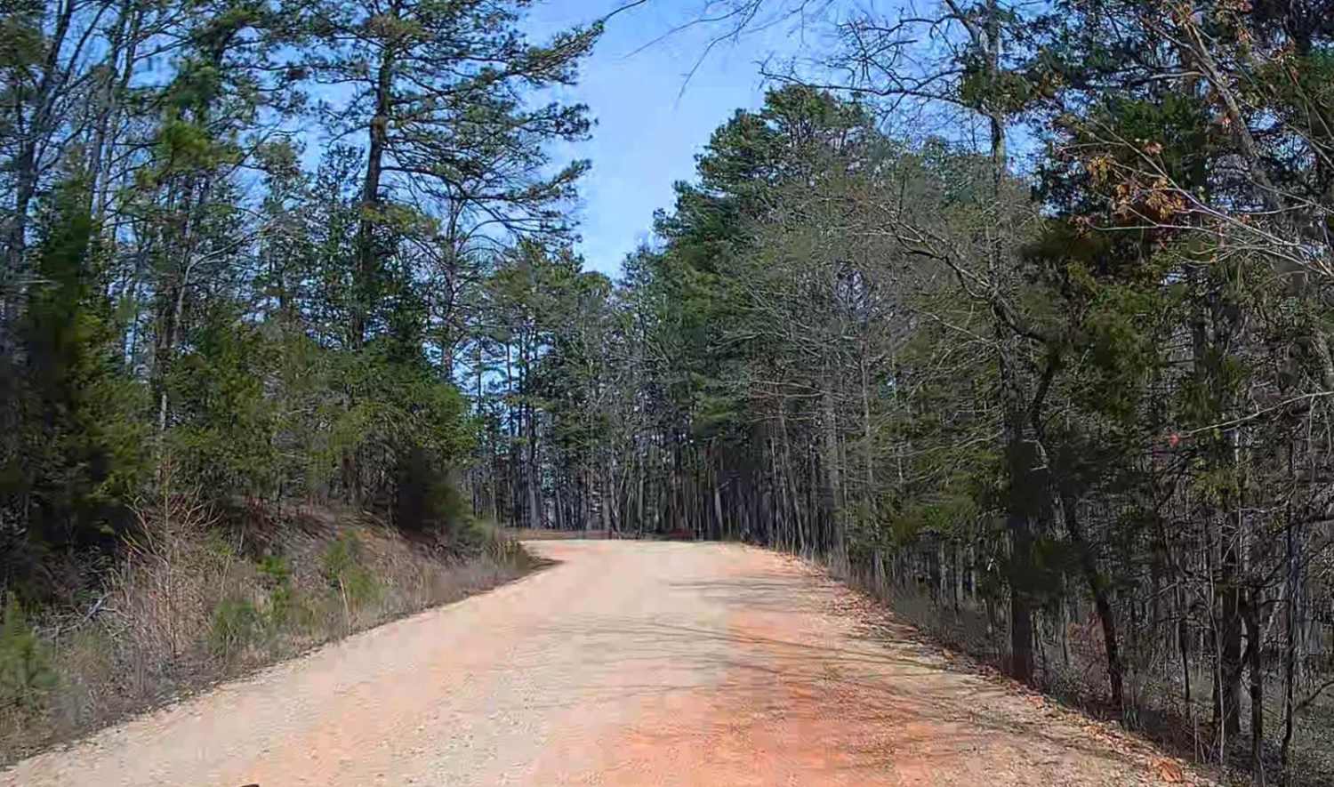
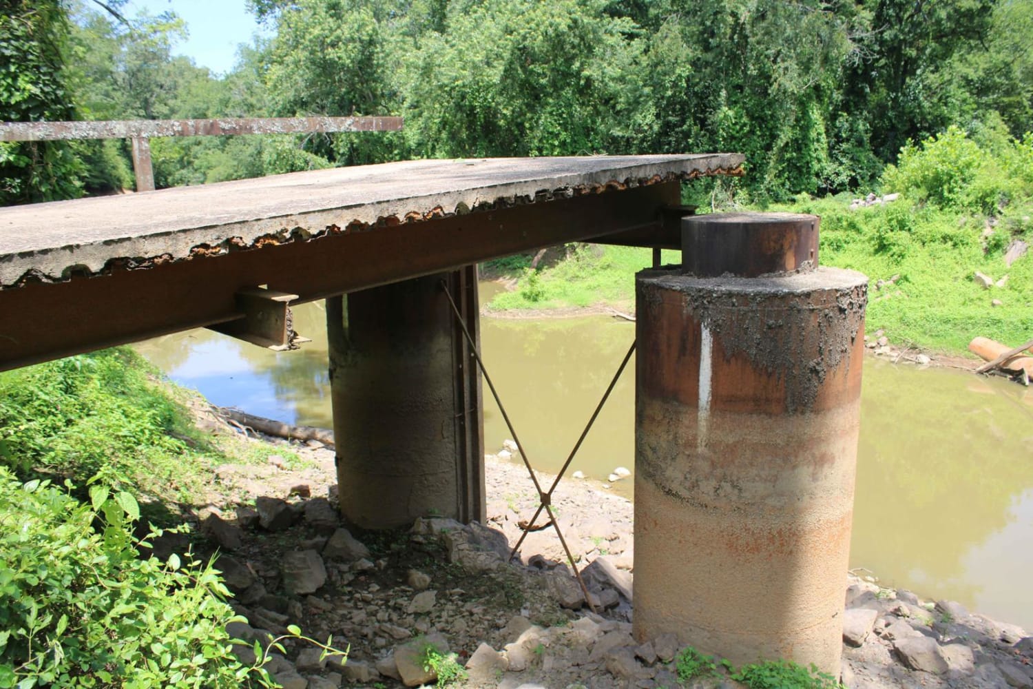
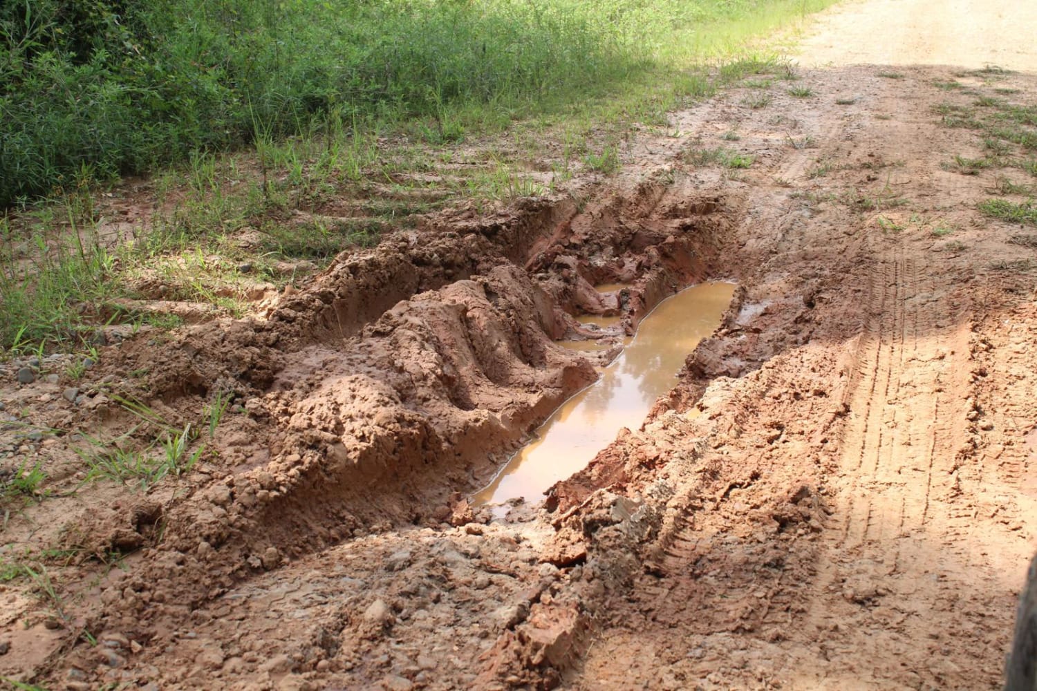
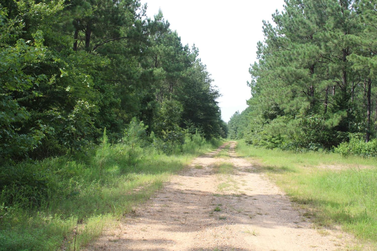
This dirt road can be muddy and rutted when wet. The South end is at a intersection ,that heading west, goes to Nacatoch Ravines Natural Area . The North end is at HWY 73 Intersection. Just across HWY 73 a road will go to Rick Evans Grandview Prairie. There is a old cemetery along this trail called Columbus Cemetery. It was established in 1860. Hunting leases are along the sides of portions of these roads. Be aware of hunting seasons.
Photos of Little Bridge Creek to HWY 73
Difficulty
Mainly dirt roads that can be rutted and muddy while wet.
Status Reports
Little Bridge Creek to HWY 73 can be accessed by the following ride types:
- High-Clearance 4x4
- SUV
Little Bridge Creek to HWY 73 Map
Popular Trails

County Roads to Sour Springs

46 Connector

Erbie Campground Road

Petit Jean River Wildlife Mgmt Area
The onX Offroad Difference
onX Offroad combines trail photos, descriptions, difficulty ratings, width restrictions, seasonality, and more in a user-friendly interface. Available on all devices, with offline access and full compatibility with CarPlay and Android Auto. Discover what you’re missing today!

