Rd 5560
Total Miles
8.3
Technical Rating
Best Time
Spring, Fall, Winter
Trail Type
Full-Width Road
Accessible By
Trail Overview
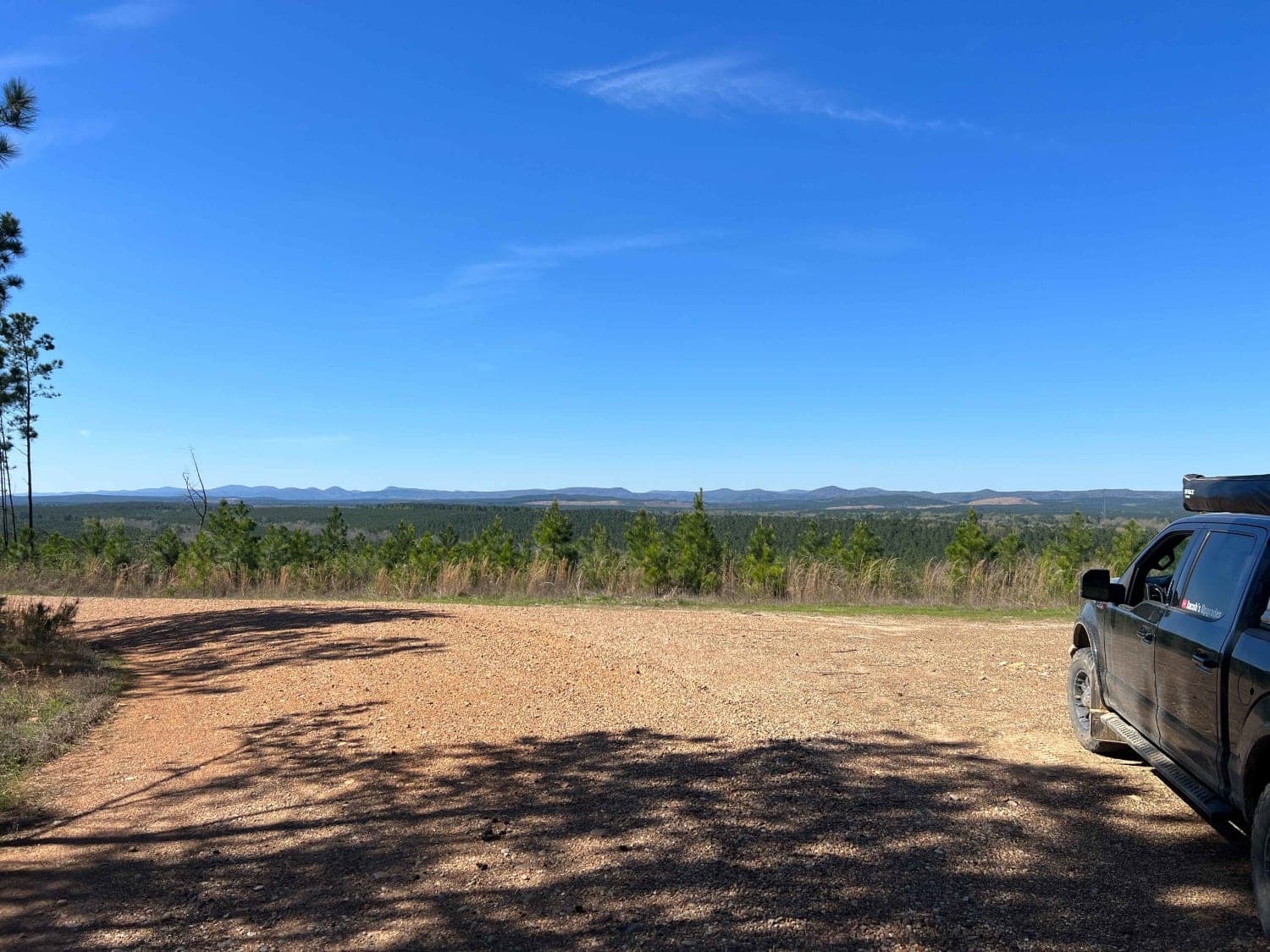
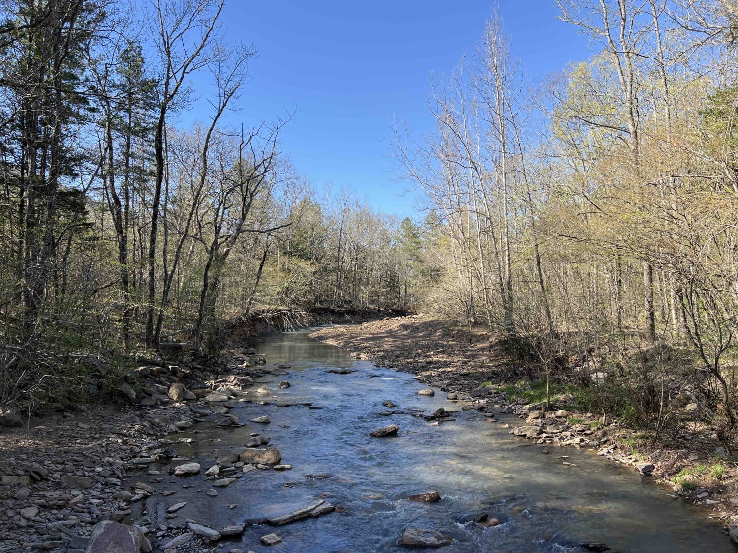
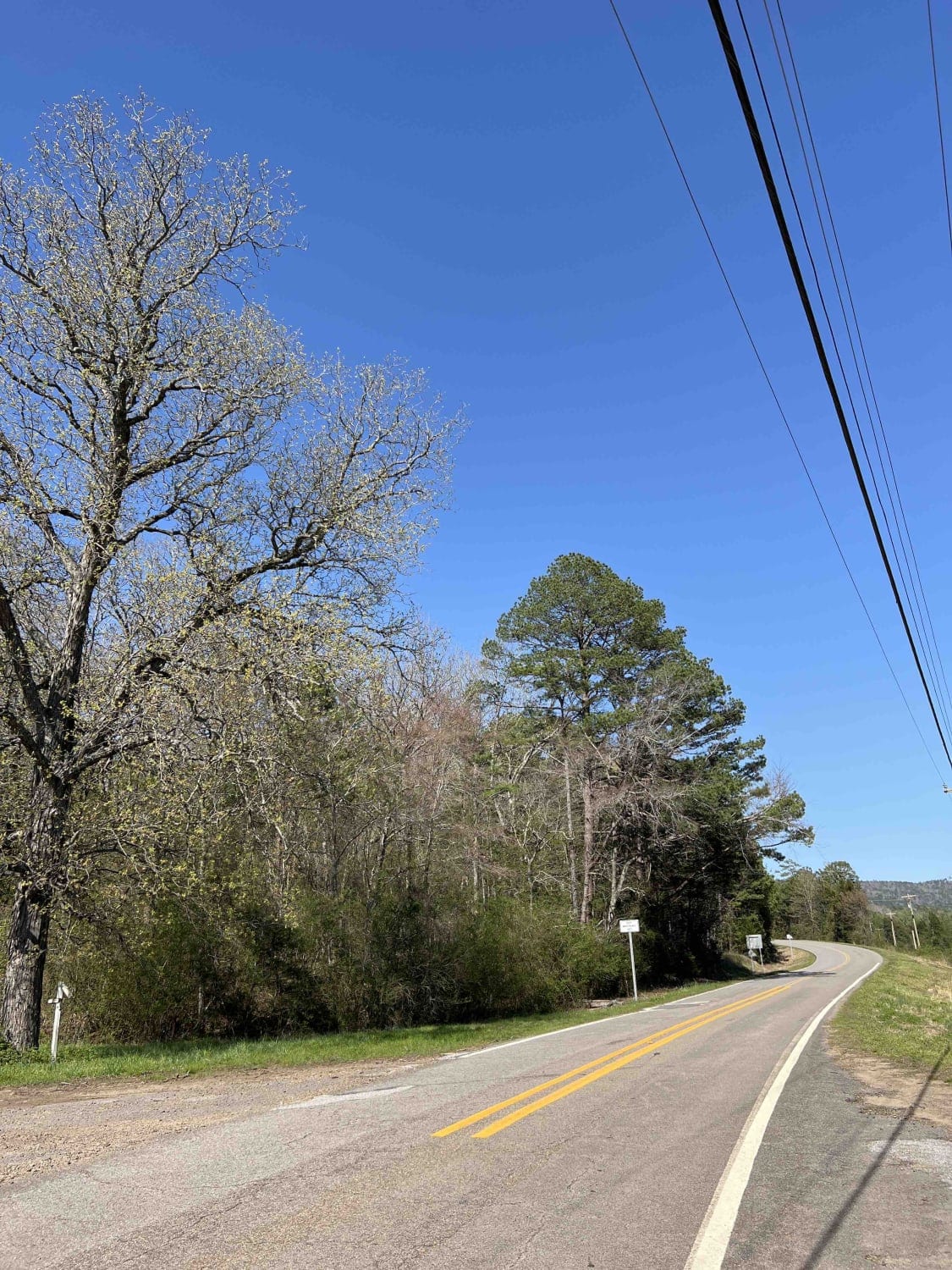
Coming in from a cute little town called Oark, Arkansas it's a hustling and bustling little town with a burger joint for the Ozark Heritage Trail enthusiasts. It starts as a paved road and then ends after a newly built bridge. From there you travel through an area that's populated with houses then it turns into the national forest. Mulberry River parallels this road and is accessible farther down the road where you can pull off to the side and enjoy the ice-cold river. Not too much farther down the road, there is a parking/camping area (down a little side road) for the Ozark Highland Trail. The Ozarks are home to a plethora of wildlife species including cottonmouth and rattlesnakes. Cottonmouth can be found near streams and water so be mindful of where you step. The road then ends at another small highway that is paved.
Photos of Rd 5560
Difficulty
Easy gravel road however if there is heavy rains the creeks can rise and wash over the road.
History
Here is a link to some history on the Ozark National Forest- https://www.fs.usda.gov/main/osfnf/learning/history-culture
Status Reports
Rd 5560 can be accessed by the following ride types:
- High-Clearance 4x4
- SUV
- SxS (60")
- ATV (50")
- Dirt Bike
Rd 5560 Map
Popular Trails

A-B Connector

F6 Snake Early Exit

Rock Creek to Pine Ridge
The onX Offroad Difference
onX Offroad combines trail photos, descriptions, difficulty ratings, width restrictions, seasonality, and more in a user-friendly interface. Available on all devices, with offline access and full compatibility with CarPlay and Android Auto. Discover what you’re missing today!


