Robertson Creek 163
Total Miles
5.9
Technical Rating
Best Time
Spring, Fall
Trail Type
High-Clearance 4x4 Trail
Accessible By
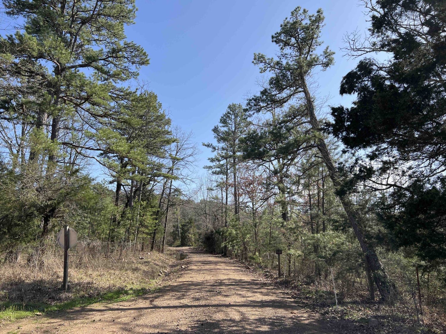
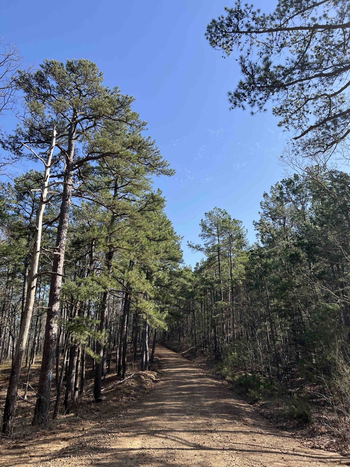
Trail Overview
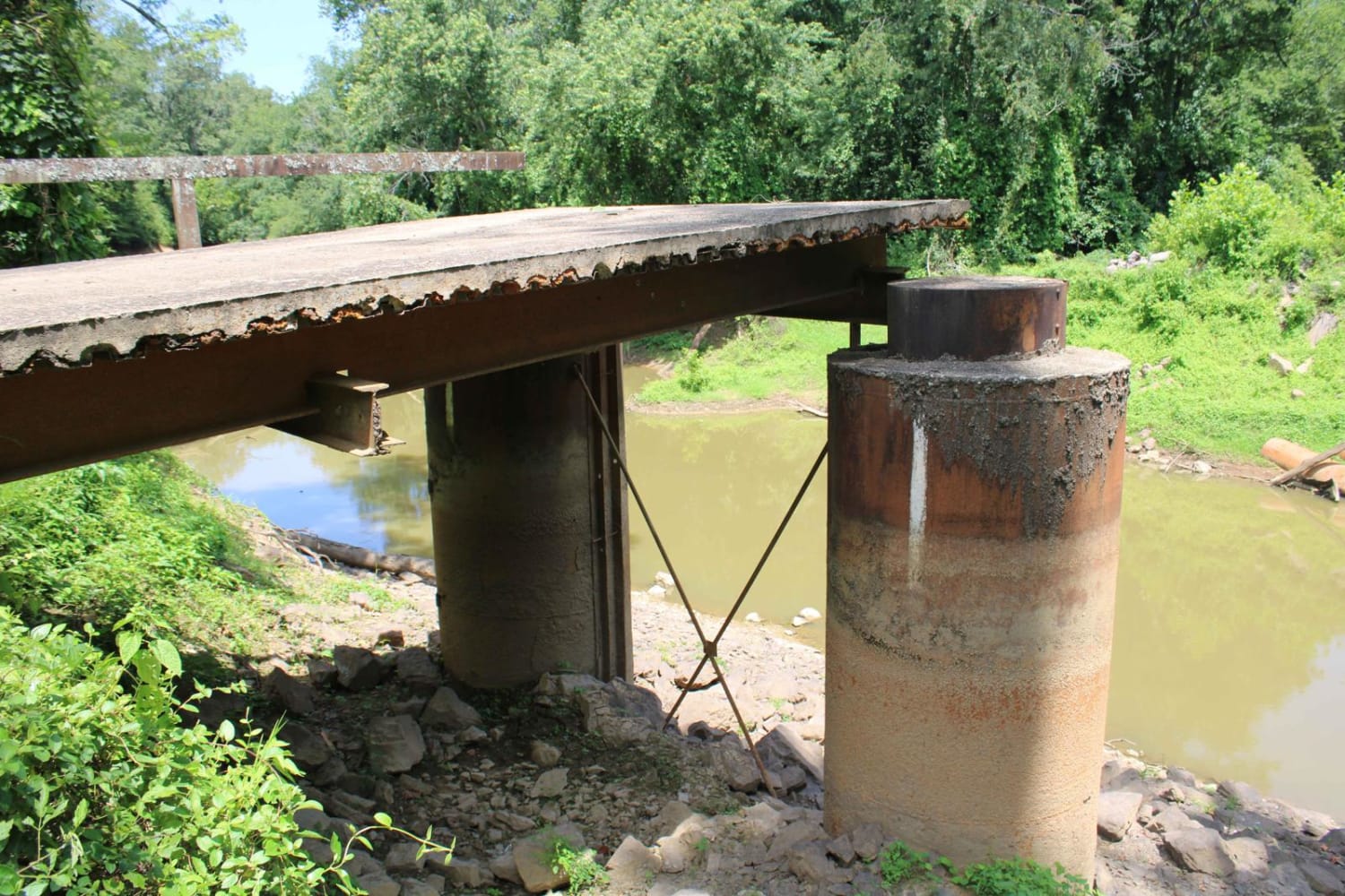
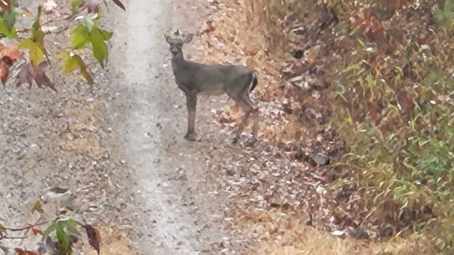
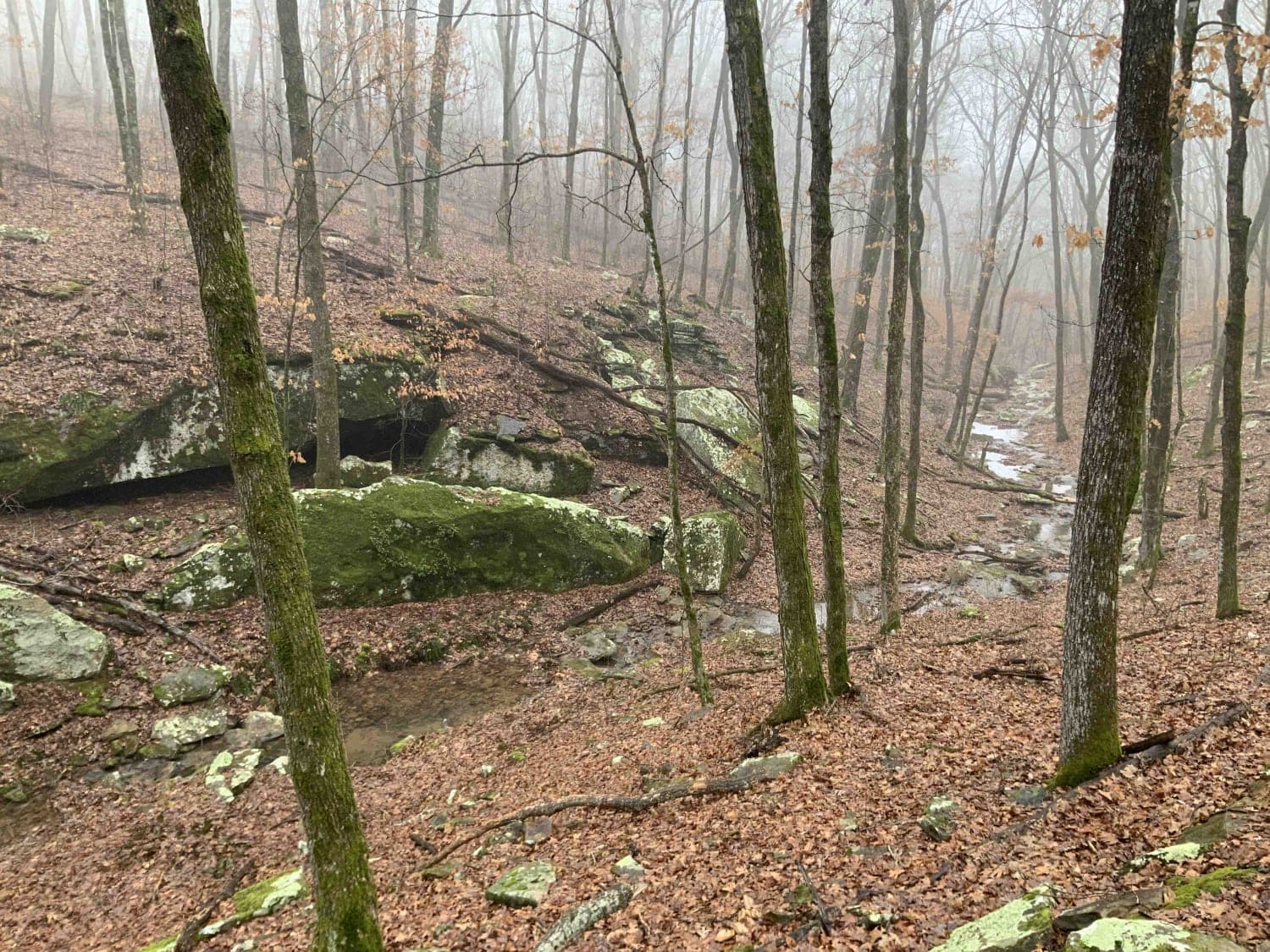
Robertson Creek 163 was like a present that you had to wait until the end to open it. I had no clue what was on the south end of the trail. It starts out as an easy gravel road off the main highway 28 that winds through the forest at an elevation of 1400 feet at its highest, it then ends in a very deep water crossing ( one I probably shouldn't have crossed as the water got into my airbox). Robertson Creek parallels this route so there is a nice source of water to play in or refill the nonpotable water tanks. Just be mindful that Arkansas is home to many plant and wildlife species. To name a few, be aware that these are present mostly during the summer months. Ticks, cottonmouth snakes (found near creeks and water sources), and rattlesnakes. This area is popular as the Ouachita National Recreation Trail is just south of this location.
Photos of Robertson Creek 163
Difficulty
Very deep water crossing at the south end of the trail. Water came up to at least 3-4 feet. I would question if this trail is at all accessible any time it rains as it had been a few days and the water level was still very high.
History
An interesting read on the history of the Ouachita National Forest-- https://www.fs.usda.gov/Internet/FSE_DOCUMENTS/stelprdb5143491.pdf

Popular Trails

Petit Jean River Wildlife Mgmt Area
Bradford Easy Loop 1720B/2509
The onX Offroad Difference
onX Offroad combines trail photos, descriptions, difficulty ratings, width restrictions, seasonality, and more in a user-friendly interface. Available on all devices, with offline access and full compatibility with CarPlay and Android Auto. Discover what you’re missing today!