Sandbox 134
Total Miles
10.3
Technical Rating
Best Time
Spring, Fall, Winter
Trail Type
Full-Width Road
Accessible By
Trail Overview
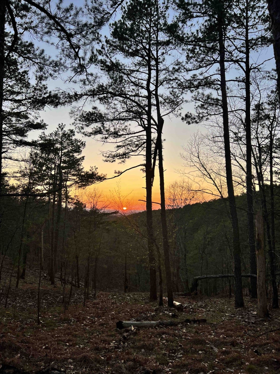
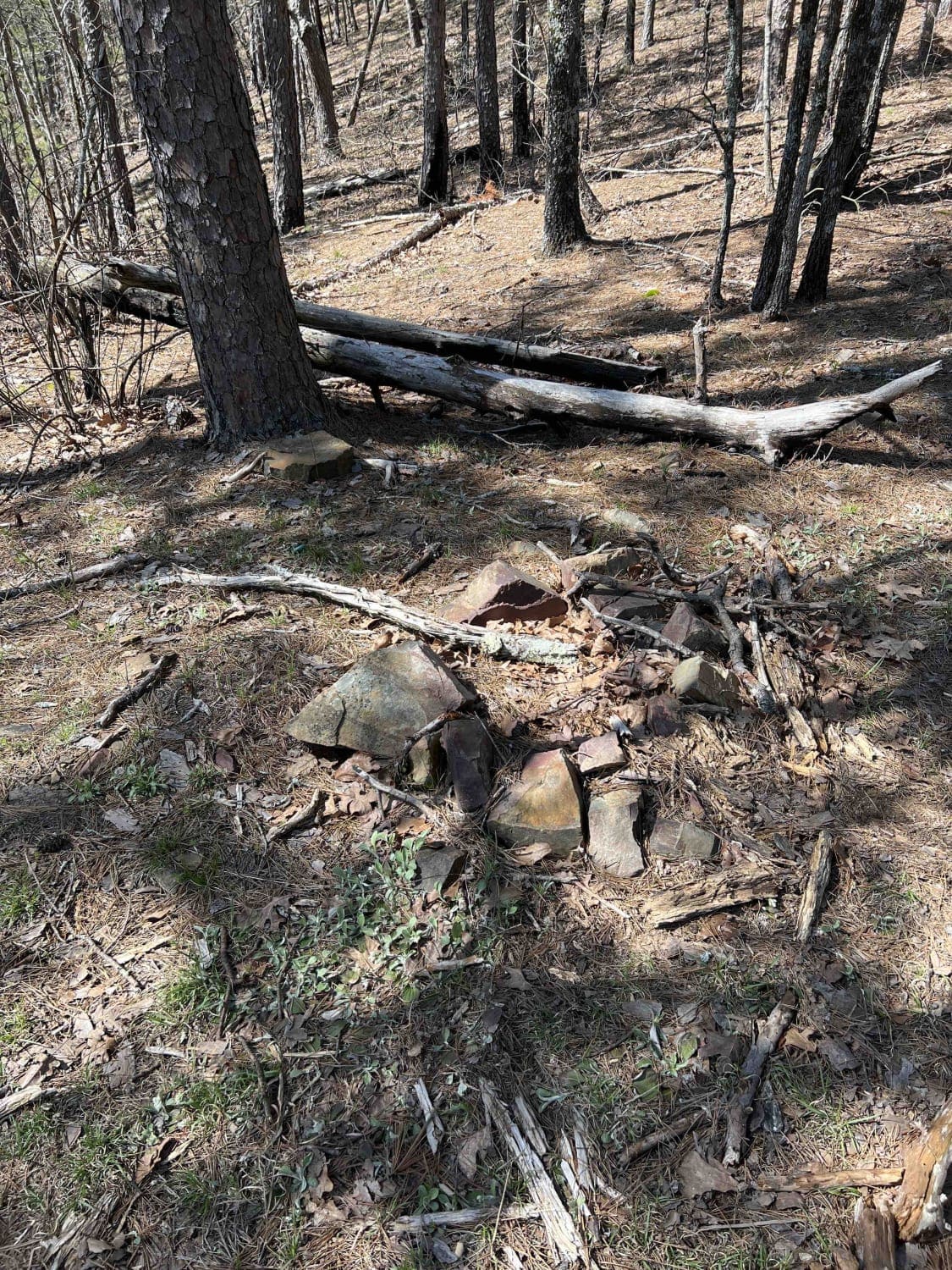
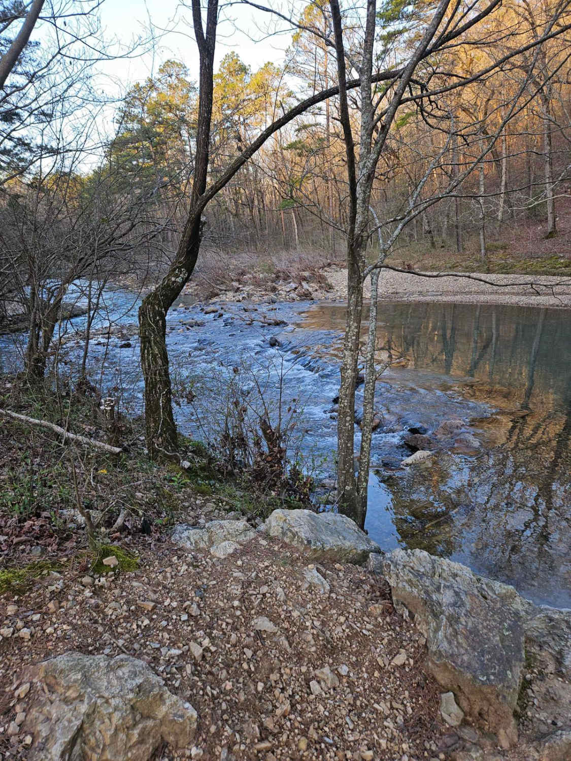
As you start down Sandbox 134, the road begins to climb Lynn Barker Mountain to an elevation of about 1400 feet where you will find a campsite with amazing views of the sunset. This is an easy gravel road with lots of creeks that either run over the road or parallel the road. There are a couple of campsites that are dispersed that have no restrooms and no running water but there is cell service in this area. There is a marked trail for dirt bikes along this route as well. Be especially mindful during summer months near creeks and water sources as the Cotton Mouth snake might be hiding in those areas.
Photos of Sandbox 134
Difficulty
Water crossings and creeks may flow over their banks and cause washed-out roads. These roads are maintained by graders (WARNING: these graders could be actively grading at any time) however fixing them might take a day or two after a storm.
History
Motor Use Vehicle Maps -- https://www.fs.usda.gov/detailfull/ouachita/home/?cid=STELPRDB5156448&width=fullHistory of Ouachita National Forest-- https://www.fs.usda.gov/Internet/FSE_DOCUMENTS/stelprdb5143491.pdfHere is an article on the plant and wildlife species that can be found in this area. https://www.arkansasheritage.com/docs/default-source/anhc-educational-resources/the_ouachita_national_forestb128dcc4-2883-4720-98b2-a47be8a3c55e.pdf?sfvrsn=a23b9f17_5
Status Reports
Popular Trails
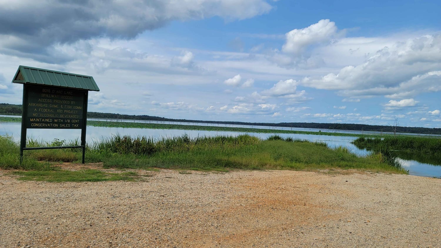
Bois d'Ark Arkansas Spillway & Dam

Grandmother's House
Lake Sylvia to Winona Lake and HWY9
The onX Offroad Difference
onX Offroad combines trail photos, descriptions, difficulty ratings, width restrictions, seasonality, and more in a user-friendly interface. Available on all devices, with offline access and full compatibility with CarPlay and Android Auto. Discover what you’re missing today!
