Trail Heads Trail
Total Miles
17.5
Technical Rating
Best Time
Spring, Fall
Trail Type
Full-Width Road
Accessible By
Trail Overview
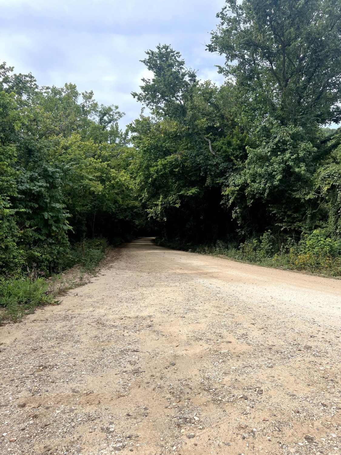
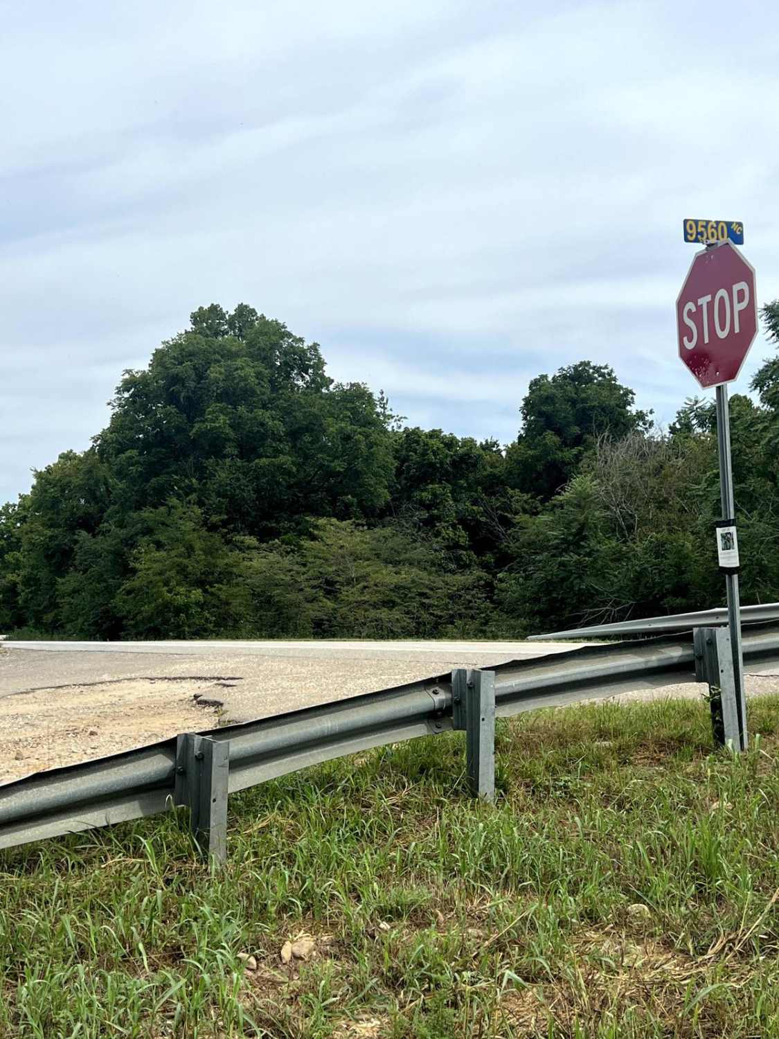
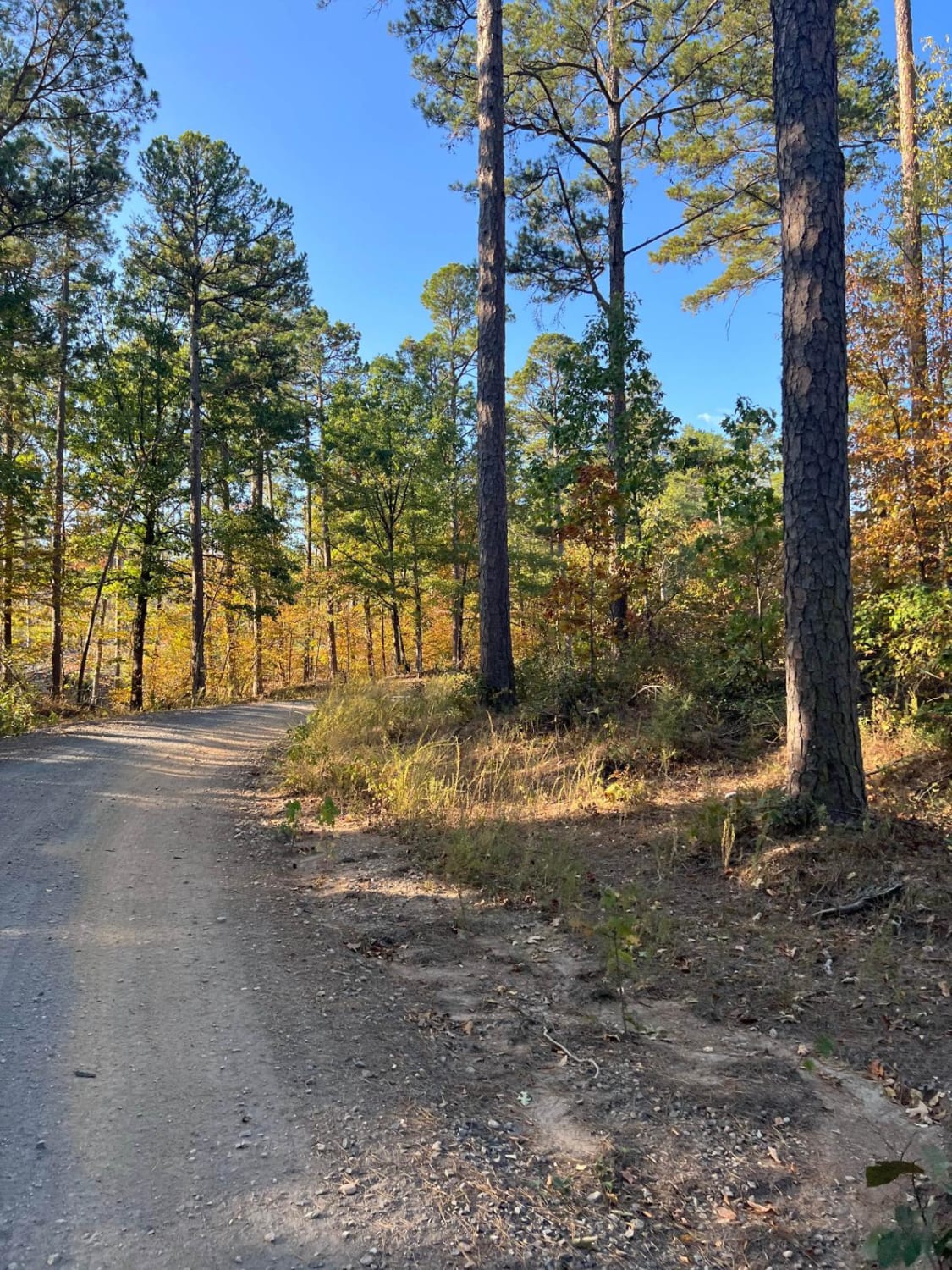
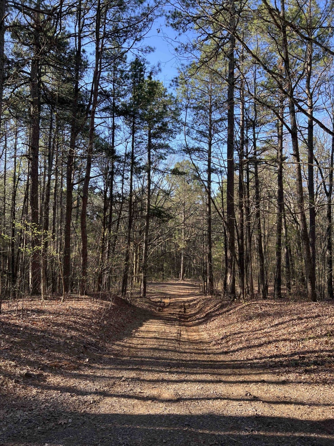
This is an extremely fun-filled trail. There are multiple popular hiking trails along the way, major climbs, good/fun obstacles, beautiful river crossings, deep mud holes, and some good flexing points to truly test that new or old suspension you have. This trail can be done either way, but it is more fun starting at the North Entrance/Exit (By Highway 21) and ending at the South Entrance/Exit (By Highway 16).
Photos of Trail Heads Trail
Difficulty
After a good rain, there will be several mud holes to journey through. There is a section towards the south end of the trail, after crossing "The Little Buffalo River", that will have a handful of mud holes. One of those mud holes has a soft bottom and will sink you in. There is a small bypass, but part of your vehicle will go through. There are a few ledges to go down. After a good rain, the water crossing can get extremely deep, but most of the year it is easily crossable.
Status Reports
Trail Heads Trail can be accessed by the following ride types:
- High-Clearance 4x4
- SUV
Trail Heads Trail Map
Popular Trails
Barkshed Road
Wilderness Trail
The onX Offroad Difference
onX Offroad combines trail photos, descriptions, difficulty ratings, width restrictions, seasonality, and more in a user-friendly interface. Available on all devices, with offline access and full compatibility with CarPlay and Android Auto. Discover what you’re missing today!
