West Gafford 776
Total Miles
16.2
Technical Rating
Best Time
Spring, Fall, Winter
Trail Type
Full-Width Road
Accessible By
Trail Overview
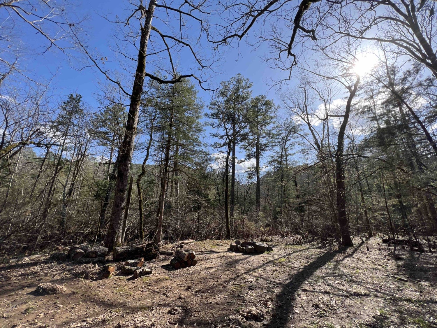
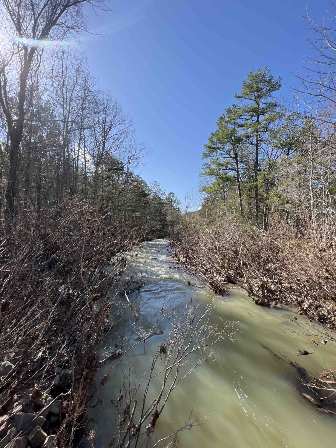
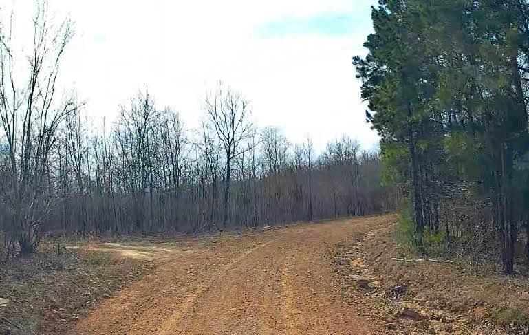
West Gafford 776 starts out as an easy gravel road, however, it isn't passable by low-clearance vehicles. There are areas where flash flooding has washed out the roads and they aren't maintained very well. Large rocks and boulders make up parts of the road and a high-clearance vehicle or four-wheel drive is helpful. West Gafford Creek parallels this road so there are areas to pull off and cool off in the creek. I found 6 different dispersed camping spots one of which was a deer camp. Here in the Ouachita National Forest, we have several animal and plant species so you can definitely expect to see a White Tailed deer. The fall and spring is the best time to come out as the weather is very temperate. Be mindful of the weather as we do have severe storms and the ONF is where it hits the hardest regarding tornados, hail, and wind.
Photos of West Gafford 776
Difficulty
Easy gravel road to start out on, however, there are areas where flash flooding has washed out the roads and they aren't maintained very well. Large rocks and boulders makeup parts of the road and high-clearance vehicles are advised.
History
Ouachita National Forest history-- https://www.fs.usda.gov/Internet/FSE_DOCUMENTS/stelprdb5143491.pdf
Status Reports
West Gafford 776 can be accessed by the following ride types:
- High-Clearance 4x4
- SUV
- SxS (60")
- ATV (50")
- Dirt Bike
West Gafford 776 Map
Popular Trails

Can Opener
The onX Offroad Difference
onX Offroad combines trail photos, descriptions, difficulty ratings, width restrictions, seasonality, and more in a user-friendly interface. Available on all devices, with offline access and full compatibility with CarPlay and Android Auto. Discover what you’re missing today!


