5S06 Idyllwild Control
Total Miles
6.1
Technical Rating
Best Time
Spring, Summer, Fall, Winter
Trail Type
Full-Width Road
Accessible By
Trail Overview
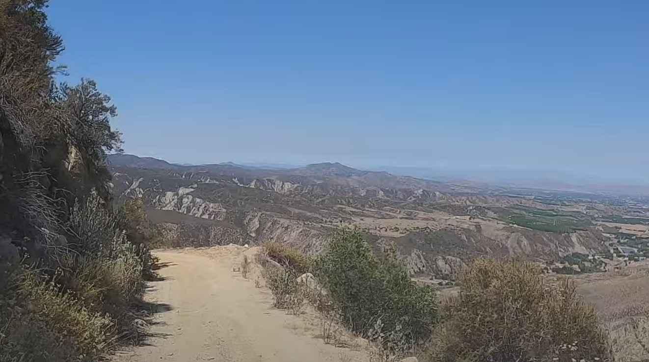
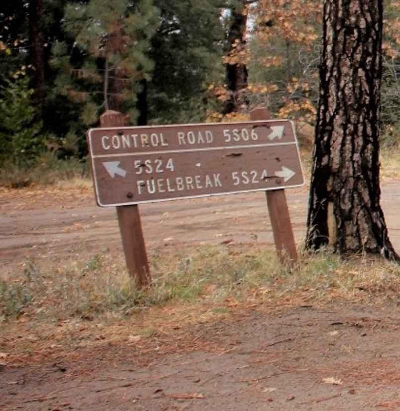
5S06 Idyllwild Control is a 6-mile point-to-point trail rated 3 of 10 located within the San Bernardino National Forest, San Jacinto Ranger District. 5S06 climbs from Highway 74 nearly 3,000 feet, ending at the intersection with Apple Drive in Idyllwild. The road is open to highway-legal vehicles only. This scenic drive was the original route from Hemet to Idyllwild in the early 1900s until the main road was opened in 1929. The main road at that time was a graded gravel road but today is paved. The first 2.5 miles from Highway 74 is considered a shelf road. Continuing up to Idyllwild the road widens some and there is more room for oncoming traffic to pass. Over the last several years the road has been closed on several occasions so it is advisable to contact the Forest Service to ensure the road is open. Cell phone service is intermittent. The nearest services are located in Idyllwild and in Hemet.
Photos of 5S06 Idyllwild Control
Difficulty
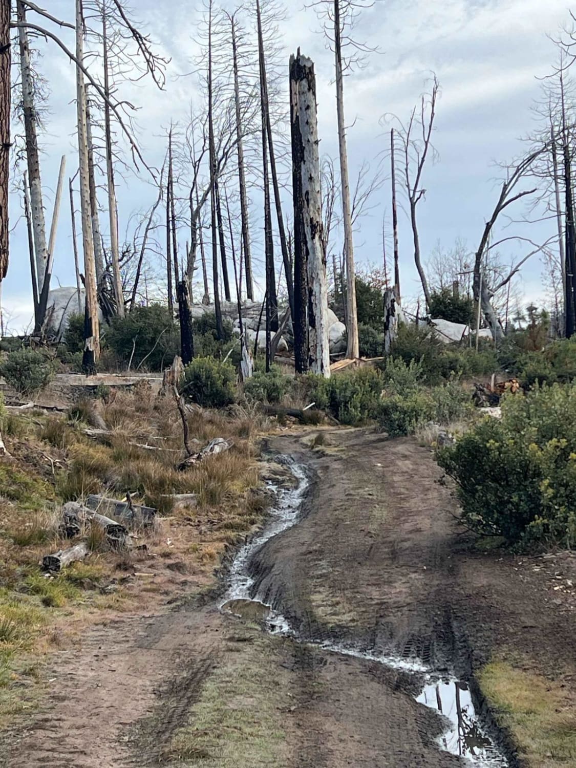
The trail consists of loose rocks, dirt, and sand with some slick rock surfaces. Mud holes are possible, but there are no steps higher than 12 inches. 4WD may be required, and aggressive tires are a plus.
History
Roads around and within San Bernardino National Forest are subject to seasonal closure. For more information, please visit https://www.fs.usda.gov/detail/sbnf/conditions/?cid=FSEPRD538928
Status Reports
5S06 Idyllwild Control can be accessed by the following ride types:
- High-Clearance 4x4
- SUV
- Dirt Bike
5S06 Idyllwild Control Map
Popular Trails

Parker Lake Bench

Middle Tuolumne River
The onX Offroad Difference
onX Offroad combines trail photos, descriptions, difficulty ratings, width restrictions, seasonality, and more in a user-friendly interface. Available on all devices, with offline access and full compatibility with CarPlay and Android Auto. Discover what you’re missing today!


