Afton Canyon to the Mojave Megaphone
Total Miles
8.9
Technical Rating
Best Time
Spring, Fall, Winter
Trail Type
Full-Width Road
Accessible By
Trail Overview
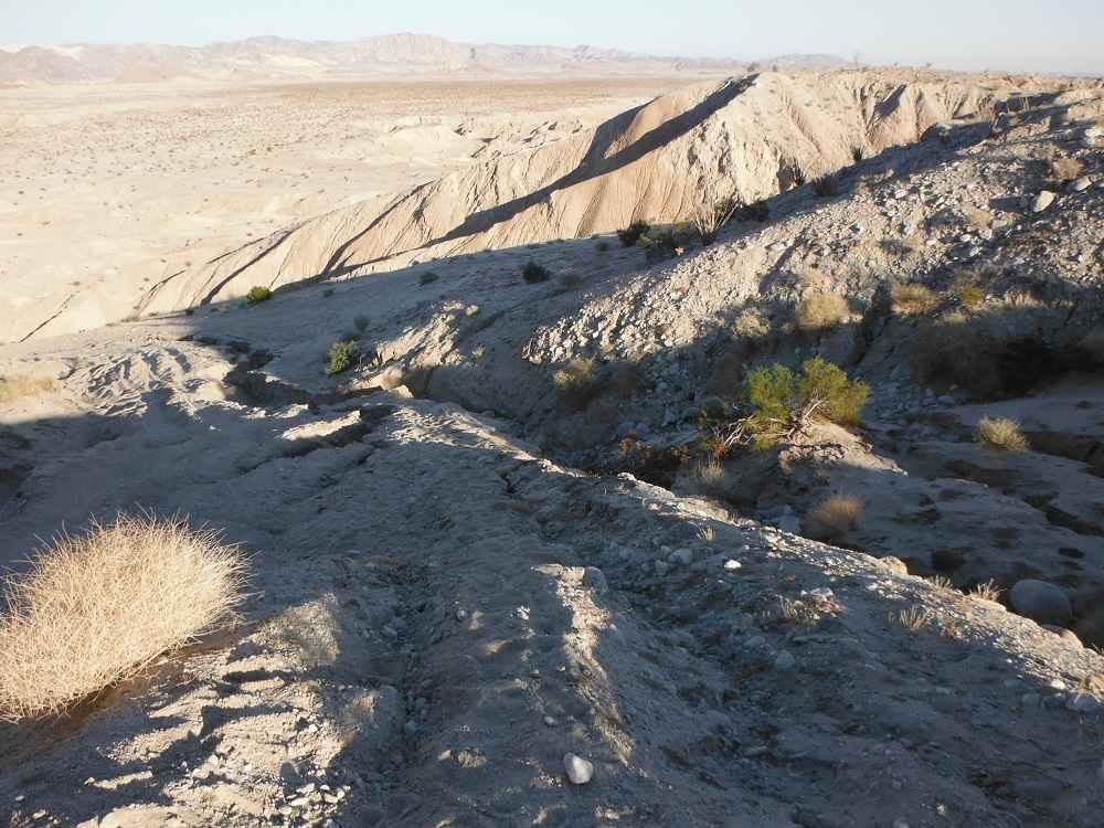
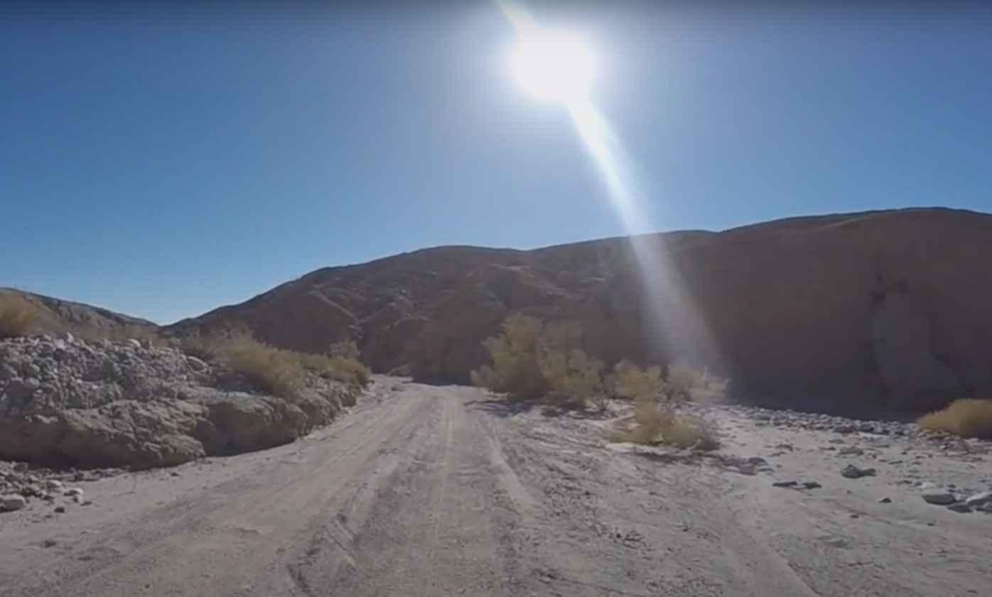
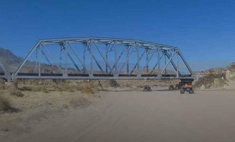
This is a short route of less than 9 miles. It starts out crossing under the train trestle and a shallow stream then climbs up and heads east along the train tracks. The trail is mostly hard-packed with some sections of small whoops. After traveling a little less than 3 miles, the trail makes a winding right turn and heads directly toward the mountains. The scenery is typical desert scrub with some small yuccas. You will merge onto trail AC7815 and in a couple of miles, you will reach the base of the Granite Mountains. Sitting on top is the Mojave Megaphone. Some have surmised that it is a giant megaphone, gunsight, sentinel, or even a device used to communicate with aliens. Whatever it is, nobody knows how long it's been there, how it got there, or who put it there. The object is about 8 feet long and has been securely fastened to the granite boulders on top of a 150-foot-high hill. There are also no markings on it of any kind (numbers or letters). It may weigh up to 600 lbs. Scattered around the hill are large boulders with many petroglyphs.
Photos of Afton Canyon to the Mojave Megaphone
Difficulty
There are no sections of this track that cannot be done with a standard 4WD vehicle. The short section of whoops is small and presents no real challenge. The trail directly below the megaphone is a little soft but does not require low gear and can be done in 2WD. The scenery along the route is nothing special, but seeing the megaphone and wondering what it is and how it got there makes the trip worthwhile.
History
This large, megaphone-shaped mystery object is bolted to two rocks on top of a 100-foot hill along a remote strip of desert between the towns of Baker and Ludlow. It's about 8 feet long, made from thick strips of iron welded together. Many travelers and historians alike have searched for an explanation of how it got there, and for what reason. But while theories abound, the answer remains elusive. Location: 35.0056 -116.1963 near Crucero Road, southwest of Baker, California.
Status Reports
Popular Trails

Diablo Dropoff

3S35J Water Tower Loop

Arroyo Salado Wash

North Fork Crossing
The onX Offroad Difference
onX Offroad combines trail photos, descriptions, difficulty ratings, width restrictions, seasonality, and more in a user-friendly interface. Available on all devices, with offline access and full compatibility with CarPlay and Android Auto. Discover what you’re missing today!


