Burns Canyon Road - NF 2N02
Total Miles
19.6
Technical Rating
Best Time
Summer, Fall
Trail Type
Full-Width Road
Accessible By
Trail Overview
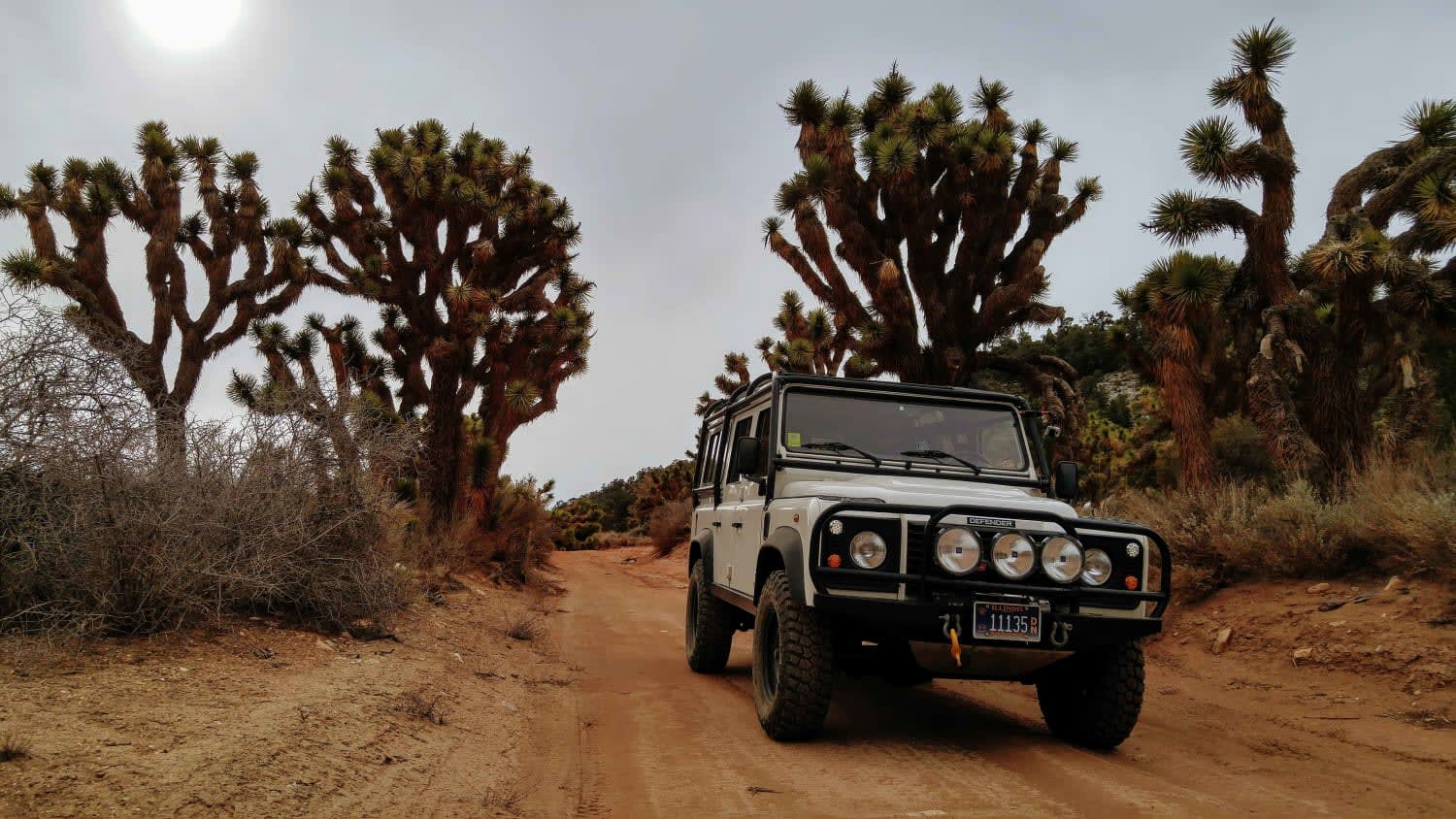
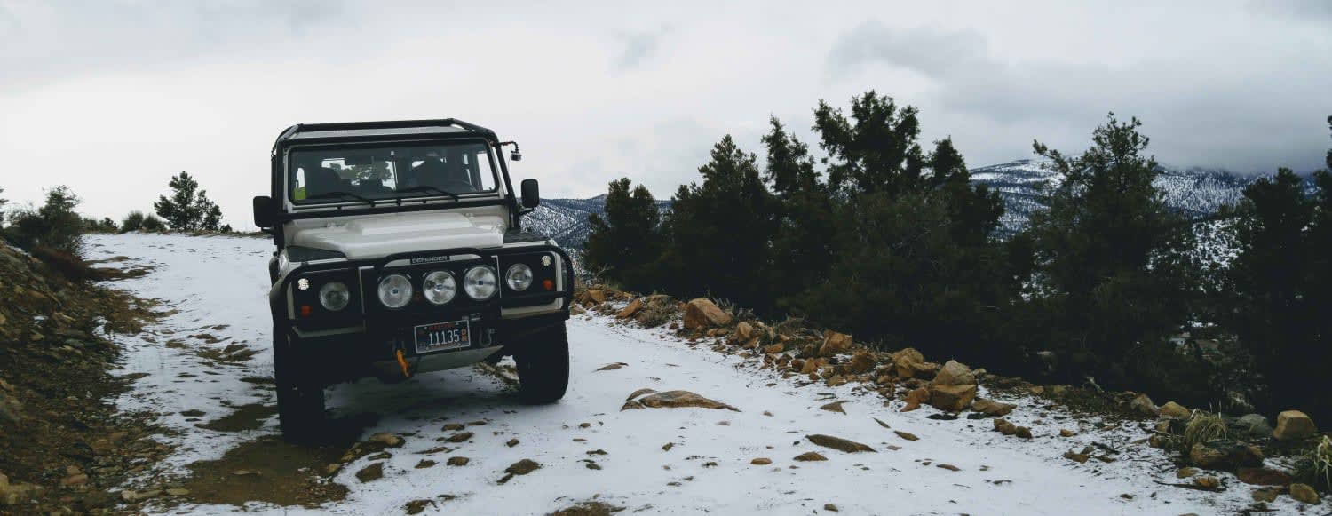
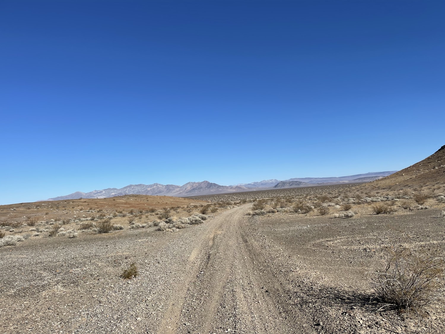
Burns Canyon Road is a rugged Forest Service road that connects the East side of Big Bear down through the San Bernardino National Forest to the desert community of Rim Rock. The environment changes from Pine forest to a dense Joshua tree forest to the desert floor as the trail drops over 2,000' over almost 20 miles. There are numerous OHV trails that spur off of Burns Canyon Road to the West. This road is impassable during winter.
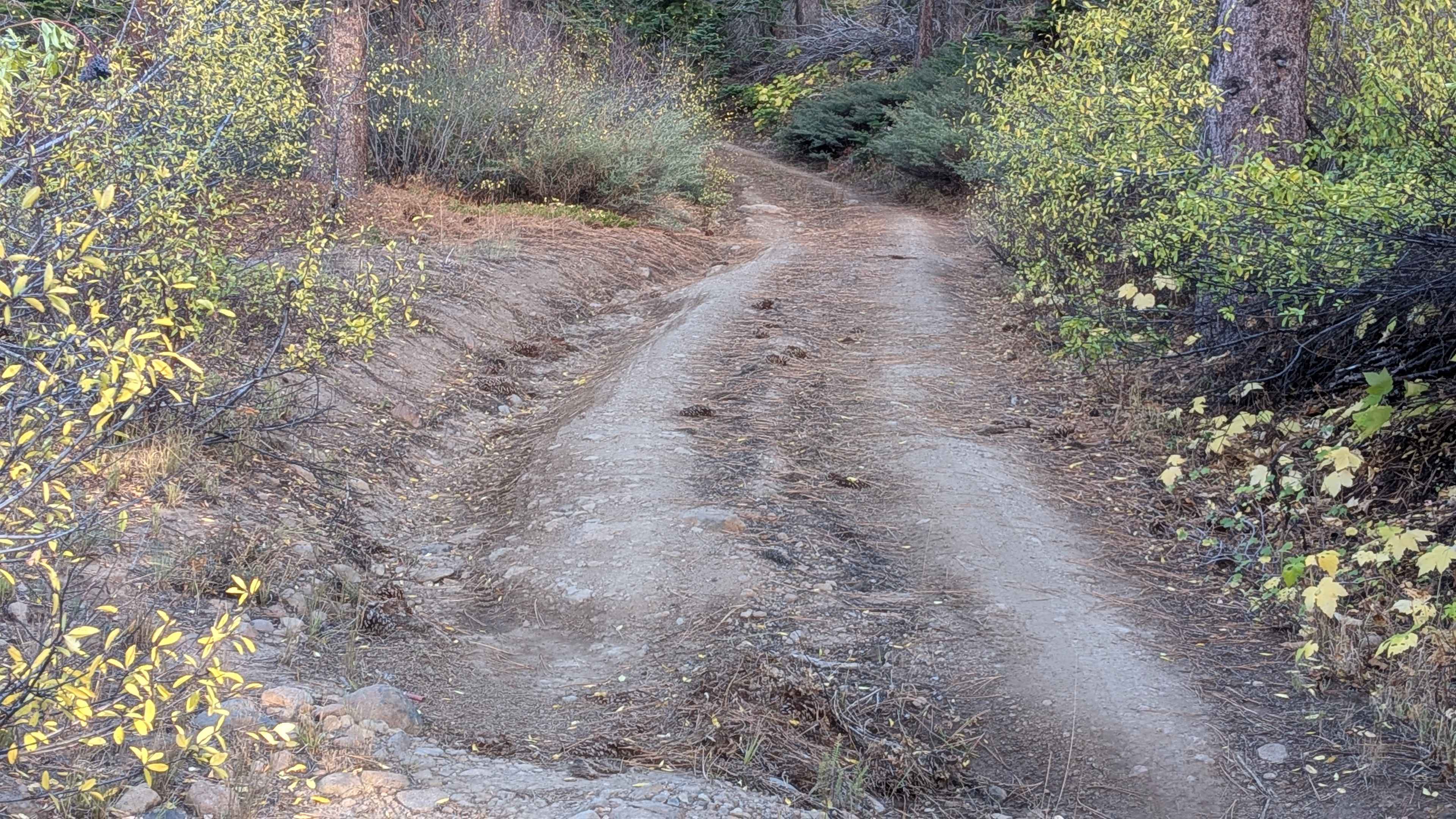
Photos of Burns Canyon Road - NF 2N02
Difficulty
There are a couple of rocky drainage crossings on this road. Other than that, it is a 2-3 rating.
Status Reports
Burns Canyon Road - NF 2N02 can be accessed by the following ride types:
- High-Clearance 4x4
- SUV
- SxS (60")
- ATV (50")
- Dirt Bike
Burns Canyon Road - NF 2N02 Map
Popular Trails

Devil's Canyon Road
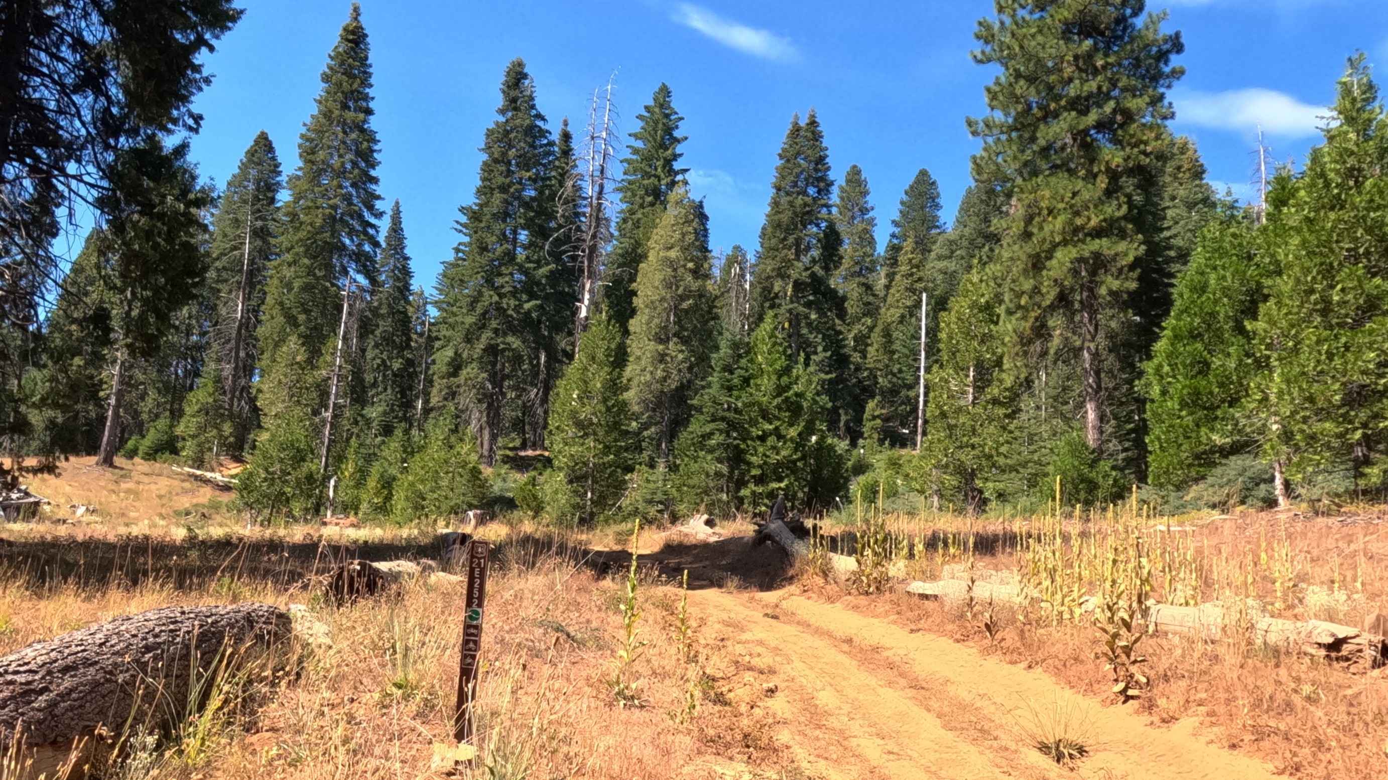
Battalion - FS 21E252
Indian Pass Vista Point
The onX Offroad Difference
onX Offroad combines trail photos, descriptions, difficulty ratings, width restrictions, seasonality, and more in a user-friendly interface. Available on all devices, with offline access and full compatibility with CarPlay and Android Auto. Discover what you’re missing today!
