Carrizo Creek
Total Miles
3.2
Technical Rating
Best Time
Spring, Summer, Fall, Winter
Trail Type
Full-Width Road
Accessible By
Trail Overview
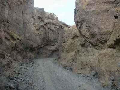
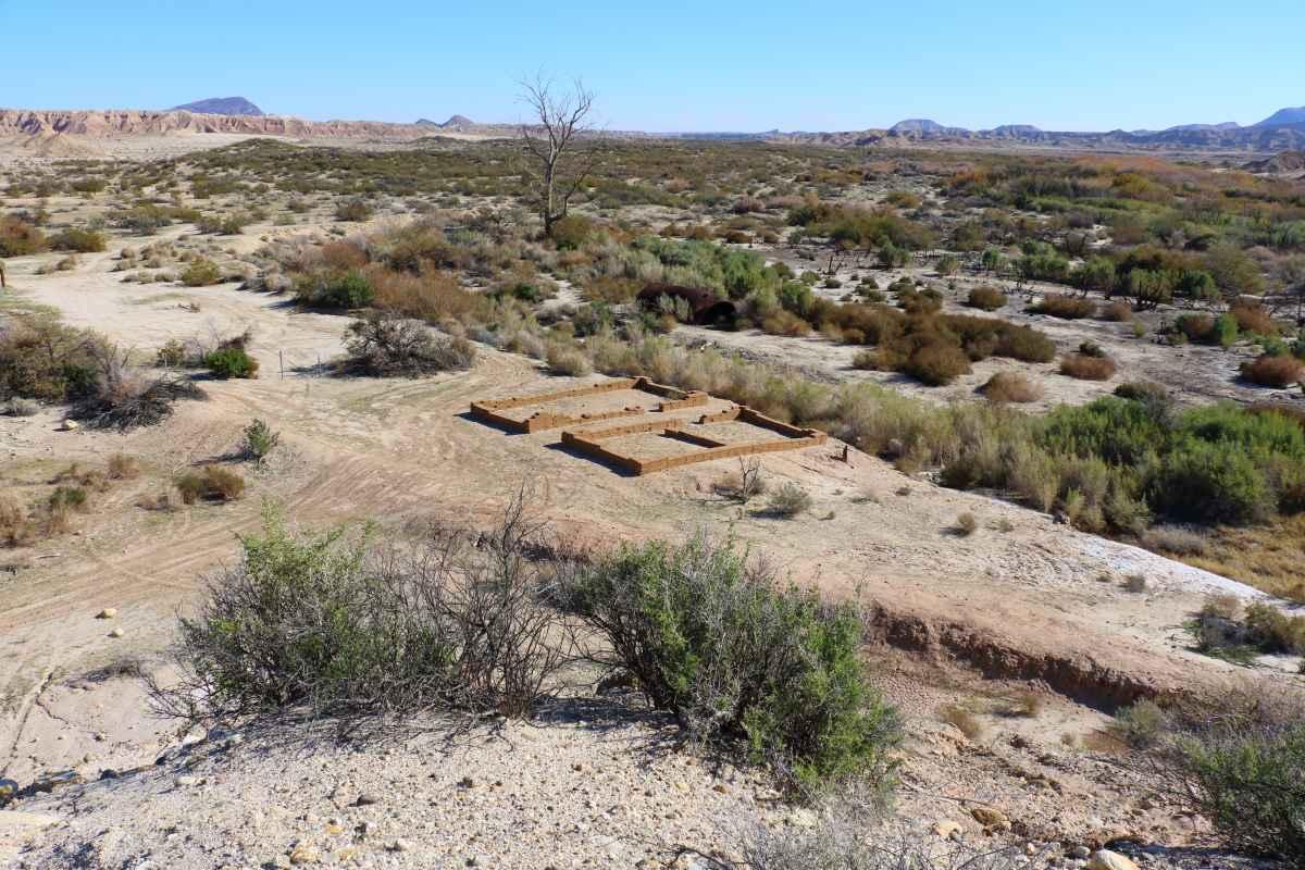
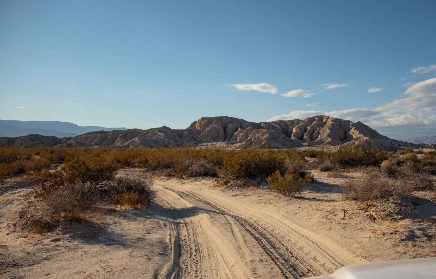
Carrizo Creek is a 6.4-mile out-and-back trail rated 3 of 10 within the California Anza-Borrego Desert State Park. Offroad travel within the state park is restricted to street-legal vehicles. Carrizo Creek can only be accessed from the west end at the intersections with Vallecito Wash, Canyon Sin Nombre, and Bow Willow Creek. The first part of the trail is typically a dry wash. The middle part of the trail runs along the creek and at times may be overgrown, muddy, and have standing water. The last portion of the trail opens up into a dry wash. This is a destination trail that ends at the historic Carrizo Stage Station. Although the wash continues on for several miles, access beyond the Carrizo Stage Station site is restricted and there are signs stating the area is closed. Just west of the station, the U.S. Navy used the Carrizo Creek area as a bombing range. Although no longer an active range, there are unexploded munitions present. The site of the Carrizo Stage Station lies on the Southern Emigrant Trail where Carrizo Creek flowed at the surface most of the year and often provided the first flowing water to travelers on that route after they had left the Colorado River. Earlier, Carrizo had been a watering place for the local Native Americans, Spanish explorers, Mexican traders, American fur trappers, and soldiers. The station at Carrizo Creek became an important link in the San Antonio-San Diego Mail Line. It functioned as one of seven major stations west of the Rio Grande River. Passengers at Carrizo Creek disembarked here to change coaches leaving the east-bound stage from San Diego and boarded another that ran between Carrizo and Fort Yuma. During March and April 2001, a systematic archaeological testing program was implemented at the Carrizo Stage Station site. The initial field test excavations and artifact analysis confirmed the presence of two structures and remains of the 1857 to 1877 Carrizo Stage Station. After excavation, it was subsequently reburied and erosion protection features were installed to prevent further damage to the site. Cell service is limited to the beginning of the trail. The nearest services are in El Centro.
Photos of Carrizo Creek
Difficulty
The trail consists of loose rocks, dirt, and sand with some slick rock surfaces and mud holes possible. No steps are higher than 12 inches. 4WD may be required, and aggressive tires are a plus.
History
Anza-Borrego Desert State Park is a California State Park located within the Colorado Desert of southern California, United States. The park takes its name from 18th-century Spanish explorer Juan Bautista de Anza and the Spanish word borrego, which literally means "lamb" but is also used to describe the desert bighorn sheep. With nearly 600,000 acres, it is the largest state park in California as well as the 48 contiguous states. The park has varied topography that includes dry lake beds, badlands, and mountains that rise above 5,500 feet (1,675 meters). Two-thirds of the park's area is designated as wilderness, and cactus, yucca, and ocotillo are abundant throughout. Among the park's attractions are groves of California fan palms and a profusion of wildflowers that bloom in mid-to-late winter. Deer, kit foxes, iguanas, rattlesnakes, roadrunners, eagles, and the endangered desert bighorn sheep are all found within the park.
Carrizo Creek can be accessed by the following ride types:
- High-Clearance 4x4
- SUV
Carrizo Creek Map
Popular Trails

Forest Service Road 2S09

Frog Pond -FS 9s030

Kramer Arch Side Trail
The onX Offroad Difference
onX Offroad combines trail photos, descriptions, difficulty ratings, width restrictions, seasonality, and more in a user-friendly interface. Available on all devices, with offline access and full compatibility with CarPlay and Android Auto. Discover what you’re missing today!


