Cavanaugh Ridge
Total Miles
2.9
Elevation
3,356.81 ft
Duration
1.5 Hours
Technical Rating
Best Time
Fall, Summer, Spring
Trail Overview
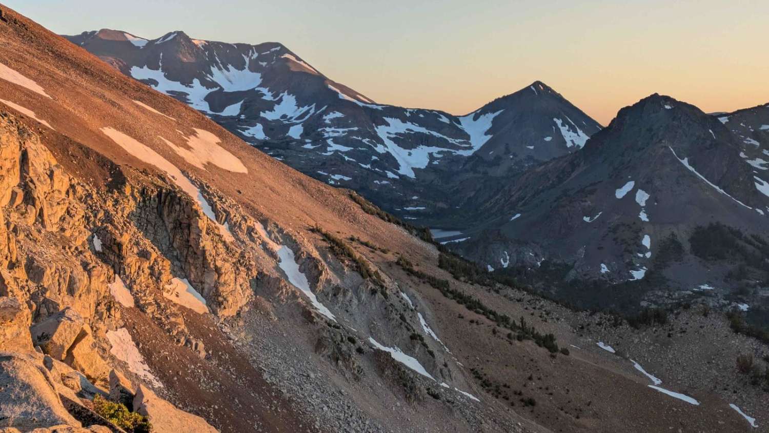
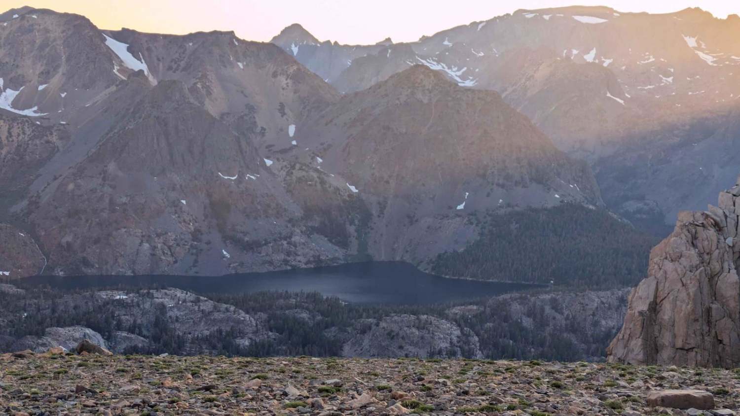
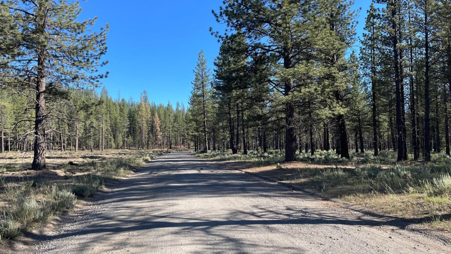
This fun trail climbs 1,800 feet in just 4.5 miles, reaching the cliff's edge at an elevation of over 11,000 feet. The sandy and rocky trail winds up through valleys and forests. Several sections with deep ruts, off-camber sections, and rocks make it a challenge for low-clearance vehicles and drivers with limited off-road experience. The reward is reaching the edge of the Hoover Wilderness, one of the original 54 Wilderness areas created by the 1964 Wilderness Act. At the top, a cliff offers stunning views down into the wilderness. East Lake, Nutter Lake, Gilman Lake, and Hoover Lakes can be seen sparkling below. Dunderberg Peak, Epidote Peak, Page Peak, and Gabbra Peak rise majestically above these lakes. On the way down, you'll get a glimpse (or panoramic vista, depending on the view) of Mono Lake.
Photos of Cavanaugh Ridge
Difficulty
The trail offers various rocky, uneven, off-camber, deep rutted areas. There can also be snow on the trail as late as mid-summer.
History
Trail is part of the Hoover Wilderness, one of the original 54 Wilderness areas created by the 1964 Wilderness Act.
Status Reports
Popular Trails
Matheson Trams
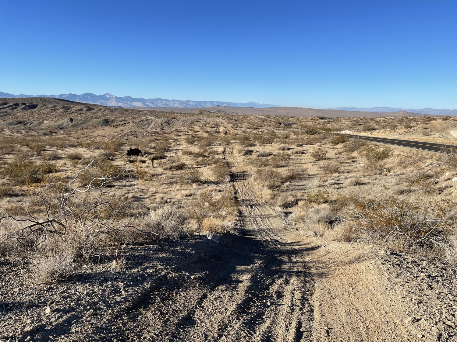
Technical Rip Along Trona Road
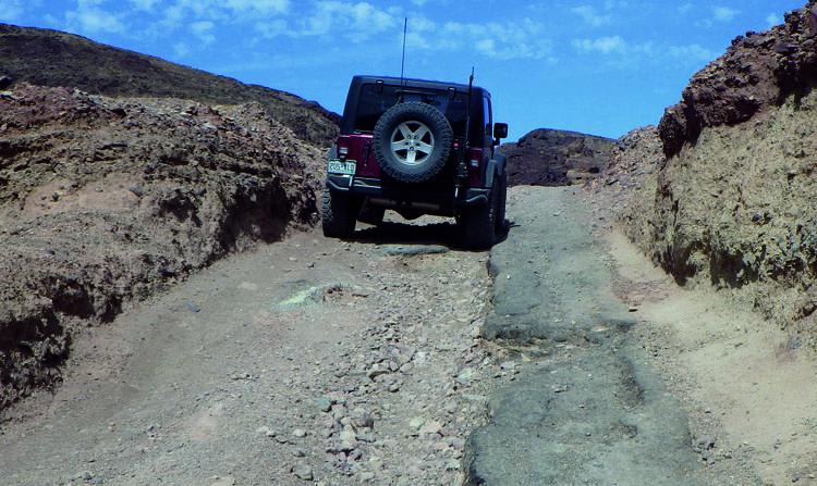
Phillips Loop
The onX Offroad Difference
onX Offroad combines trail photos, descriptions, difficulty ratings, width restrictions, seasonality, and more in a user-friendly interface. Available on all devices, with offline access and full compatibility with CarPlay and Android Auto. Discover what you’re missing today!
