Ditch Digger
Total Miles
3.1
Technical Rating
Best Time
Spring, Fall
Trail Type
Single Track
Accessible By
Trail Overview
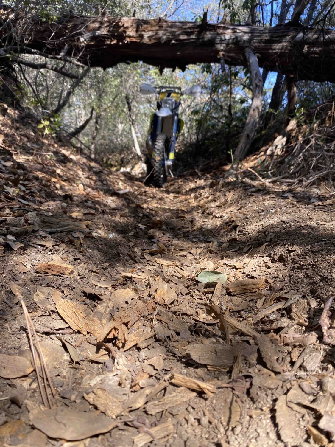
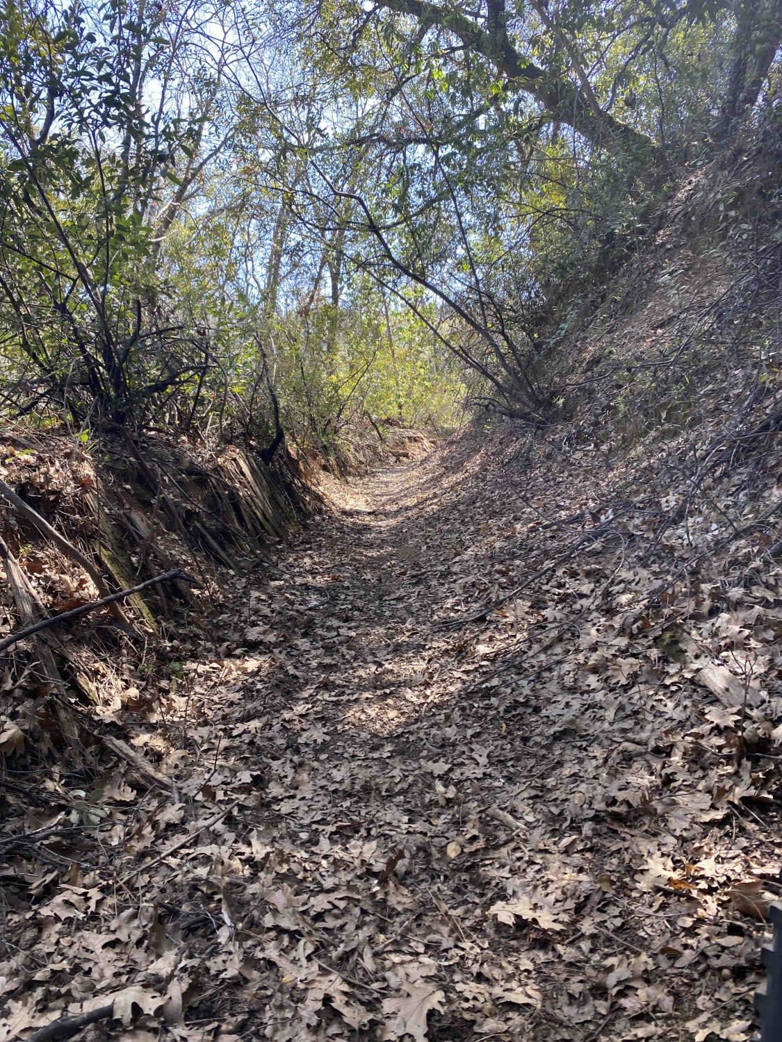
This is an area of BLM land on the North Fork of the Mokelumne River off Highway 26, just outside of Red Corral, California. Parts of the trail are un-maintained dirt roads, sections of which are rocky and washed out. The other part of the trail is in the abandoned flume or up on the levee alongside the ditch. Down in the ditch, the surface is soft, loose, loamy soil. Up on the levee, it is more hard-packed dirt. Riders can expect log and rock obstacles and some long, steep climbs. Making a loop and running it several times is guaranteed to give a great workout on some moderately technical riding. Run the loop multiple times with the stopwatch to see if you can improve your time. While there are some roads, most are very overgrown with brush, essentially making the area only accessible to motorcycles. Portions are solely single-track. One lap around the loop is approximately 4 miles.
Photos of Ditch Digger
Difficulty
Wash outs, ruts, rocky sections, and long steep sections add to the difficulty. This area can be ridden year-round, but wet times of year expect the difficulty to increase significantly.
History
The Upper and Lower Standard ditches were used to supply water to mining operations during the Gold Rush. The ride will take you past remnants of a portion of wooden flume that was used to get water across areas where the ditch could not be practically constructed. There is at least one old mining cabin in the area that is a short ride off the main loop.
Status Reports
Ditch Digger can be accessed by the following ride types:
- Dirt Bike
Ditch Digger Map
Popular Trails

South Volcanoville (13N56)
Forest Service Road 2S123
Dry Creek Cutoff FS 32E628-SNO
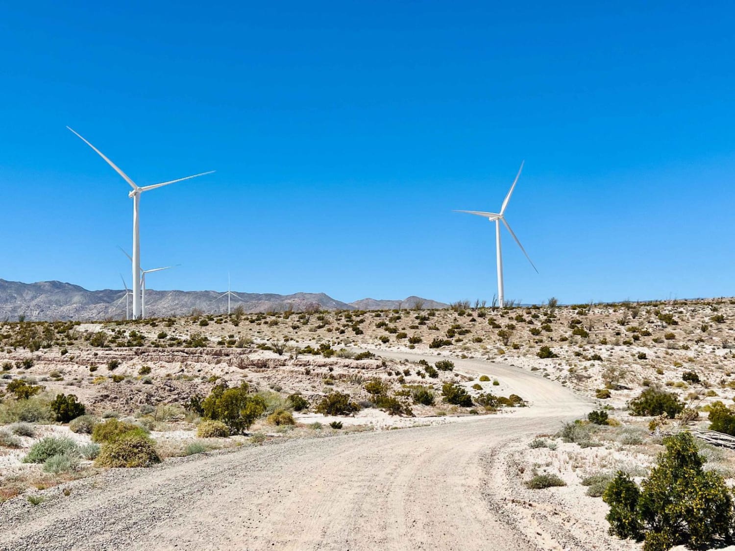
Dos Cabezos Road
The onX Offroad Difference
onX Offroad combines trail photos, descriptions, difficulty ratings, width restrictions, seasonality, and more in a user-friendly interface. Available on all devices, with offline access and full compatibility with CarPlay and Android Auto. Discover what you’re missing today!
