Eastern Aiken Mine Road
Total Miles
6.3
Technical Rating
Best Time
Winter, Fall, Spring
Trail Type
High-Clearance 4x4 Trail
Accessible By
Trail Overview
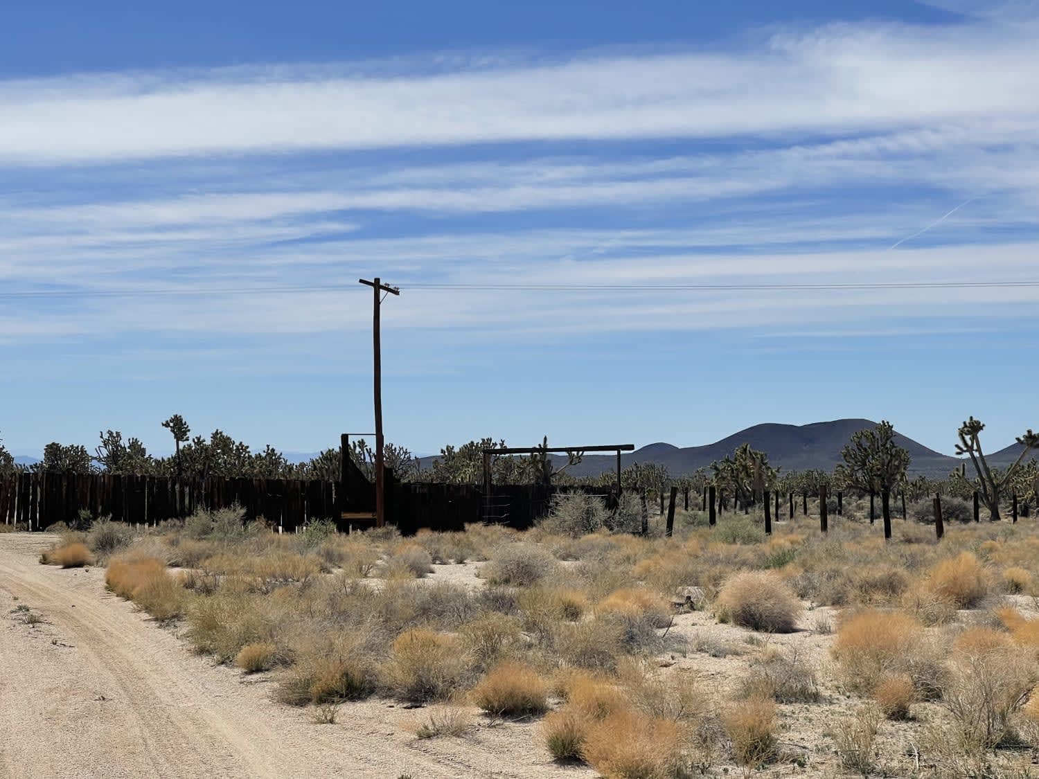
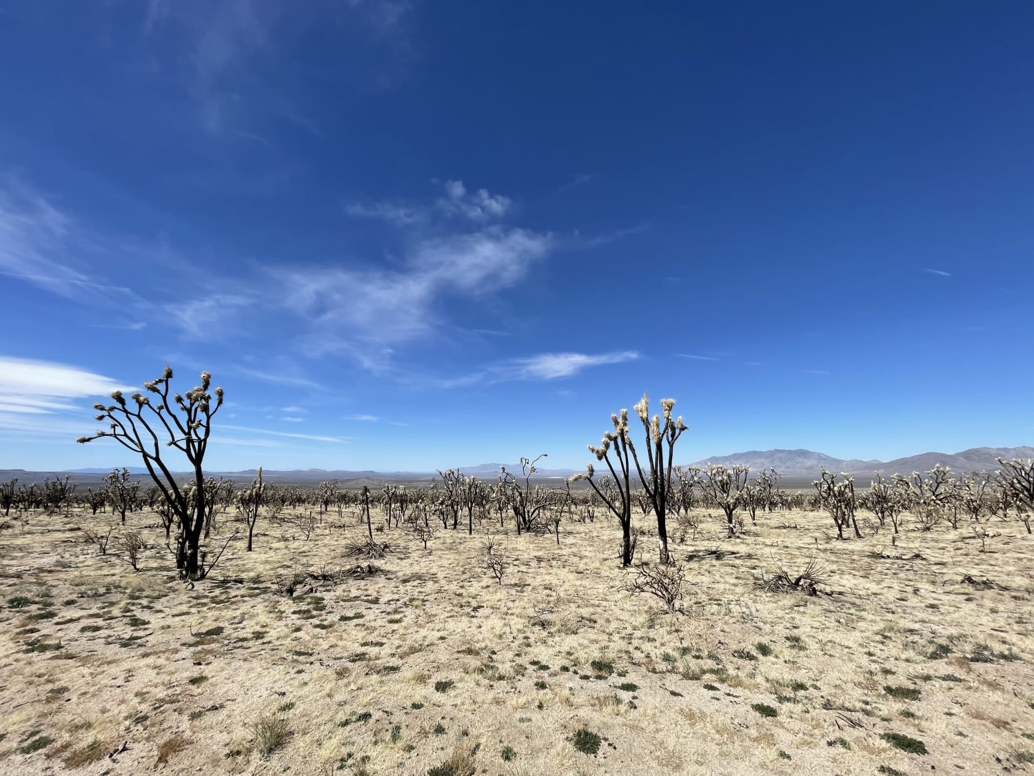
This trail leads from the Valley View Ranch area over to connect with the EMHT trail and continues to the mine area. The trail is mostly sandy with some really deep, longer sections and a few off-camber hard-packed washouts. The trail starts in the burned-out section from the 2020 fires and then emerges into a lush green section. It ends near an old livestock corral and Powerline Road. 1 bar LTE fades to no service by the corral. Airing down tires is recommended. This is the Mojave Preserve; only streel legal, licensed vehicles are allowed.
Photos of Eastern Aiken Mine Road
Difficulty
Deep long sandy sections
Status Reports
Eastern Aiken Mine Road can be accessed by the following ride types:
- High-Clearance 4x4
- Dirt Bike
Eastern Aiken Mine Road Map
Popular Trails
Deadman Loop FS2S25
Pleasant Canyon
Red Fir Road - FS3S24
The onX Offroad Difference
onX Offroad combines trail photos, descriptions, difficulty ratings, width restrictions, seasonality, and more in a user-friendly interface. Available on all devices, with offline access and full compatibility with CarPlay and Android Auto. Discover what you’re missing today!
